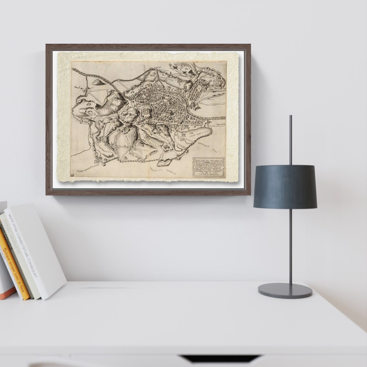
Topography of Rome - Romae topographia - by Nicolas Beatrizet
Topography of Rome - Romae topographia - by Nicolas Beatrizet
Couldn't load pickup availability
SKU:PRBA76M3H8JLW
BUY ONLINE, INSURED TRACEABLE DELIVERY
Unique quality material
Print on handmade paper from Amalfi
Measurement : 29 x 42 cm
Material : work printed on very fine handmade Amalfi paper with fringed edges
Frame : Handmade light brown beech wood
Pictorial canvas
Measurement : 100 x 75 cm
Material : work printed on very fine grain pictorial canvas
Frame : Light brown in beech wood and handmade wood pulp
YOU WANT A CUSTOMIZED PRODUCT
OR INFORMATION? WRITE TO US
The work
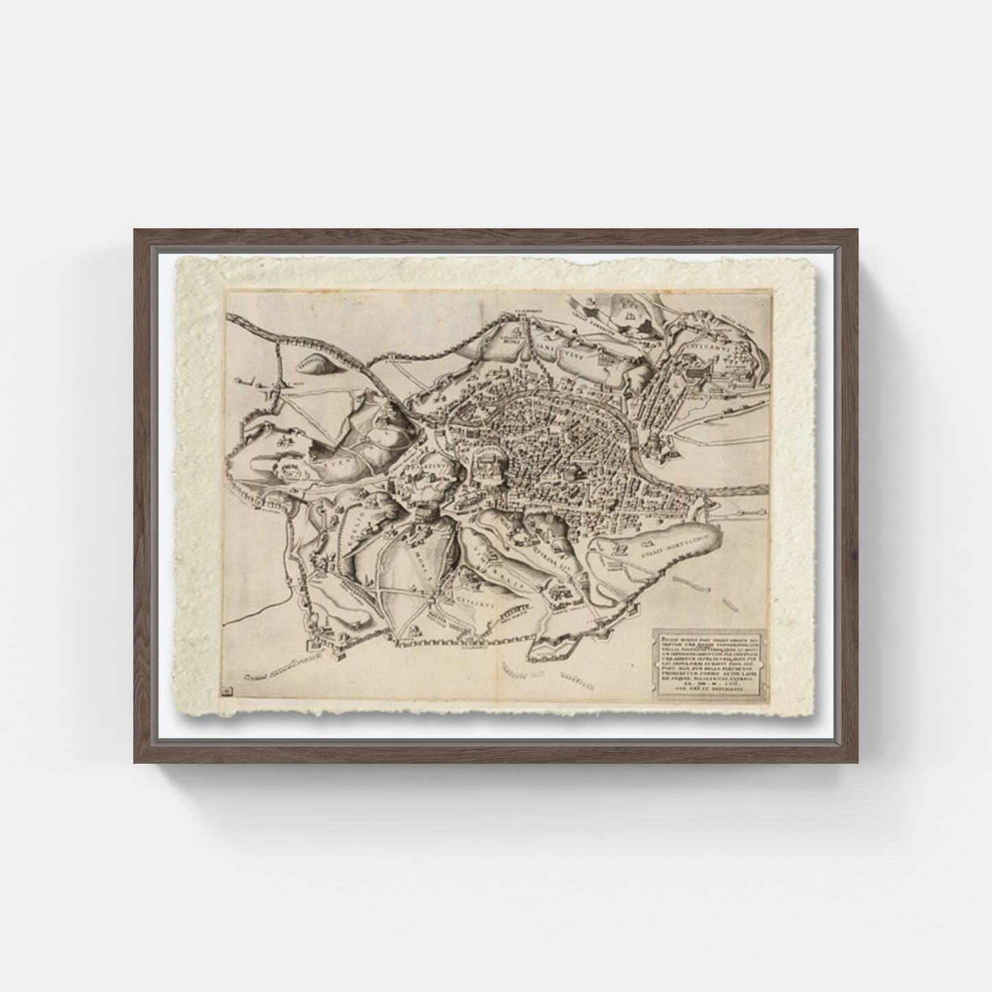
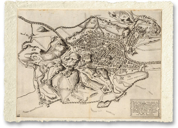
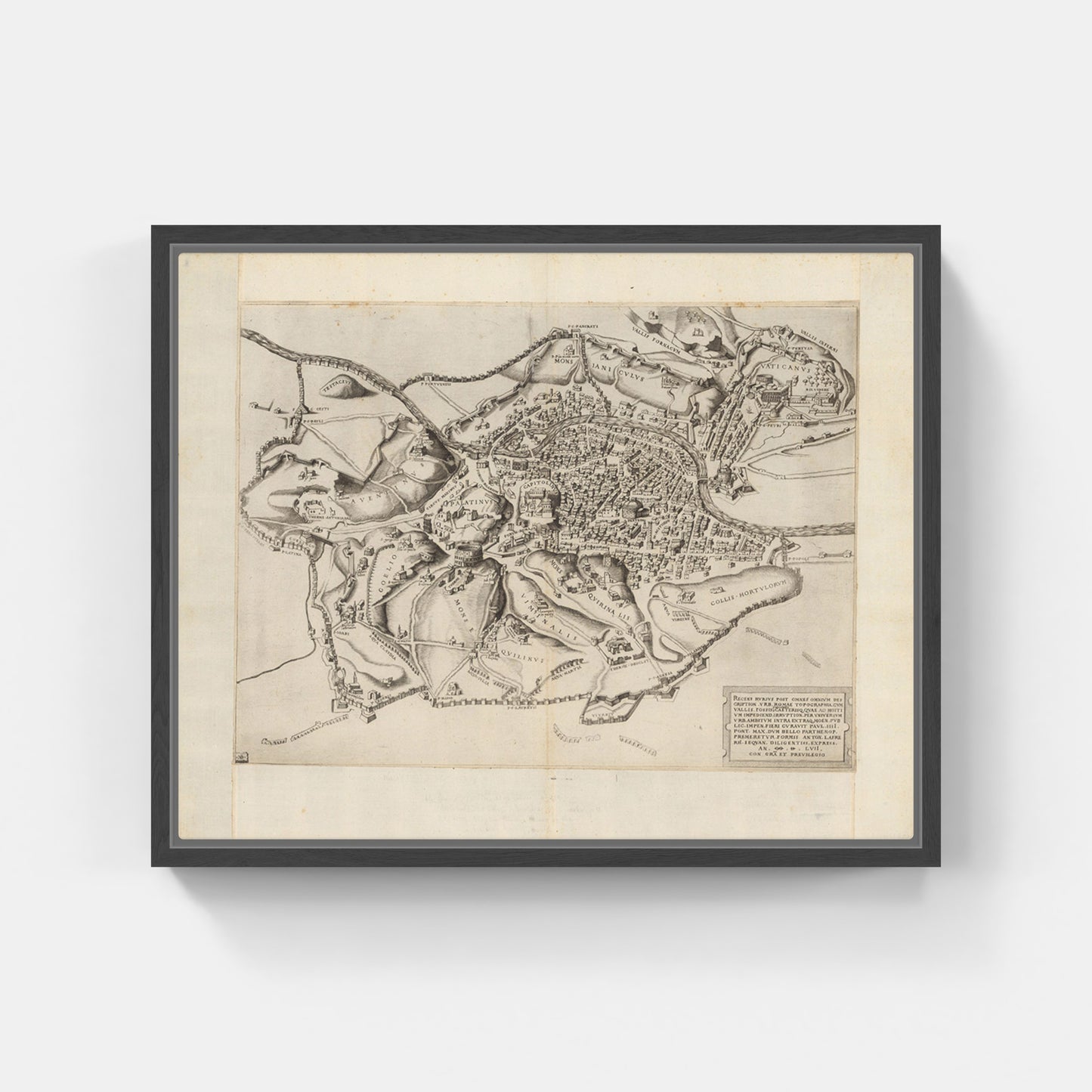
Original title: Recens rursus post omnes omnium description. Urb. Romae topographia. An. MD LVII, With Gra et privilege.
The engraved map of Rome was created by N. Beatrizet for Antonio Lafreri in Rome. The author's initials, NB, are in the lower left corner. The map shows hills, major monuments and walls and fortifications built in Rome in 1556 and 1557 under the direction of Camillo Orsini during the pontificate of Pope Paul IV. These walls were built to improve Rome's defenses against an attack from the south by Spanish forces, who had crossed into the southern part of the Papal States and were threatening Rome from the south.
Scholars have called this map the "War Map of Naples". The map includes a dedication to Pope Paul IV (1476-1559) and the relief is shown with both illustrations and shading.
How reproductions are made
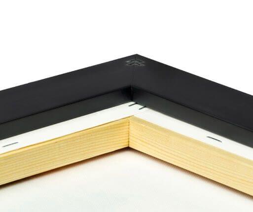
Scopri i pregiati materiali di Trizio Editore
Carta di Amalfi fatta a mano, cornice in legno di faggio e vetro museale. Guarda i particolari dei prodotti che renderanno la tua casa più elegante e preziosa.


