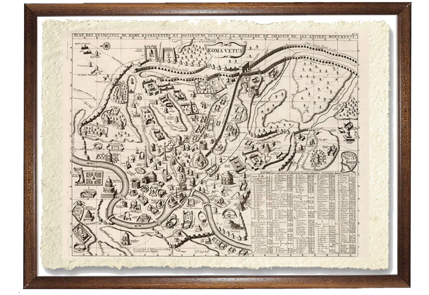
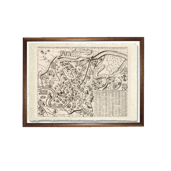
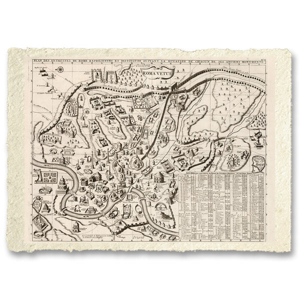
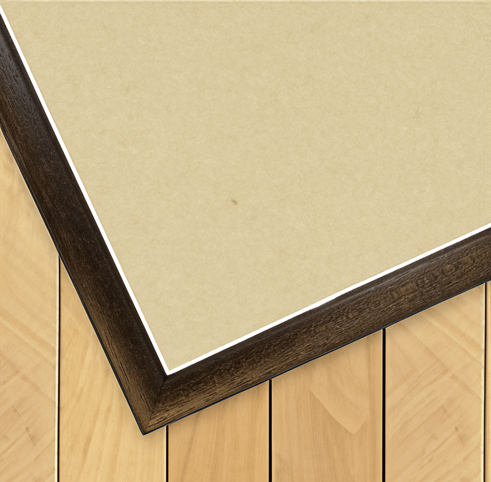
Print on handmade paper from Amalfi Measurement : 29 x 42 cm Material : work printed on very fine handmade Amalfi paper with fringed edges Frame : Light brown in beech wood and handmade wood pulp
Map dated 1714-1720. By Henri Abraham Chatelain. Engraved pictorial map of Rome, showing bridges, churches, fountains and places of interest. Includes alphabetical key to places of interest.
"Henri Abraham Chatelain, whose "Atlas Historique" was one of the most extensive Dutch encyclopedias of the time, first published in 1705, Chatelain's Atlas Historique which was part of an immense seven-volume encyclopedia. Although While the text's primary focus was geography, the work also included a wealth of historical, political, and genealogical information.
Each map and table is numbered consecutively within its volume and all maps carry the privileges of the States of Holland and West Frisia. An ambitious and well-presented work, the Atlas Historique was intended for the general public, fascinated at the beginning of the eighteenth century by the recently conquered colonies and new discoveries.
The maps, prints and tables necessary to compose a complete series are listed in detail in each volume.
Carta di Amalfi fatta a mano, cornice in legno di faggio e vetro museale. Guarda i particolari dei prodotti che renderanno la tua casa più elegante e preziosa.