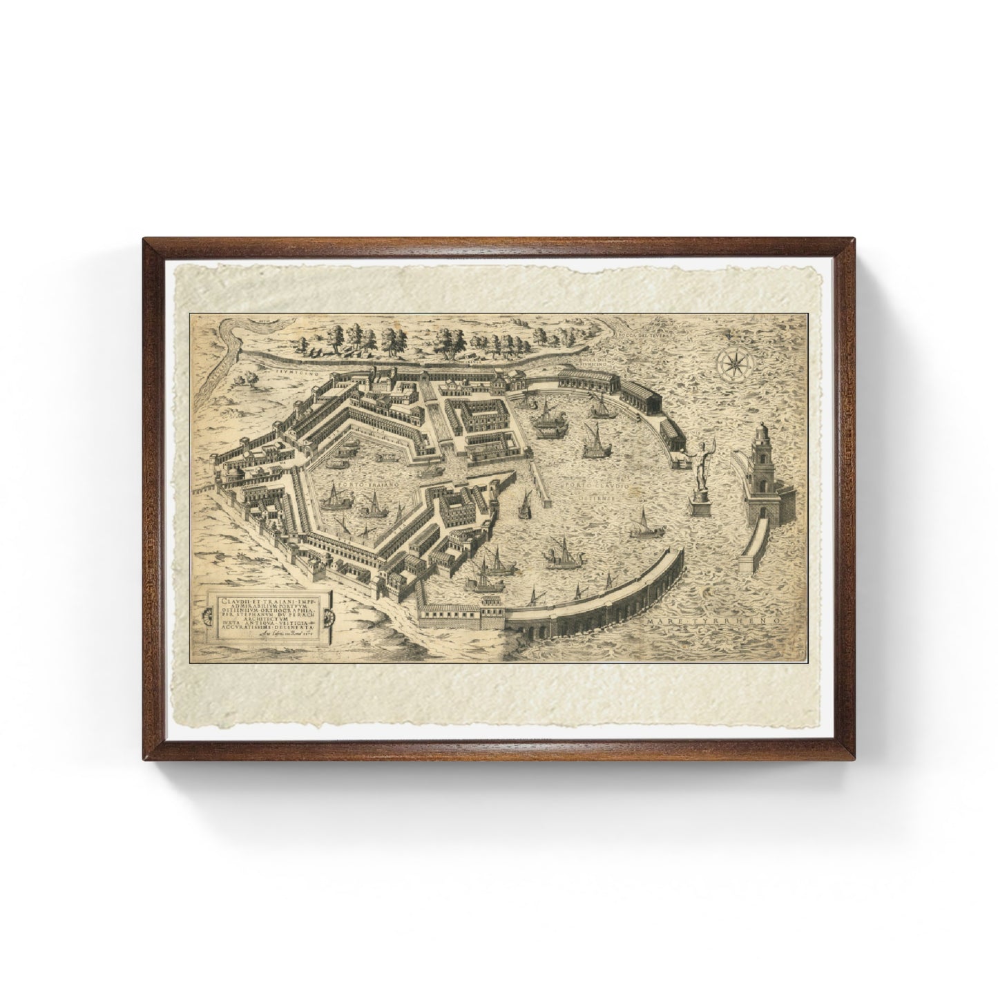
Claudii Et Traiani Impp Admirabilium Portuum Ostiensium Orthographia Per Stephanum Du Perach Architectum Iuxta Antiqua Vestigia Accuratissime Delineata (1575)
Claudii Et Traiani Impp Admirabilium Portuum Ostiensium Orthographia Per Stephanum Du Perach Architectum Iuxta Antiqua Vestigia Accuratissime Delineata (1575)
Couldn't load pickup availability
SKU:L1M2N3O4P5Q6R
The work
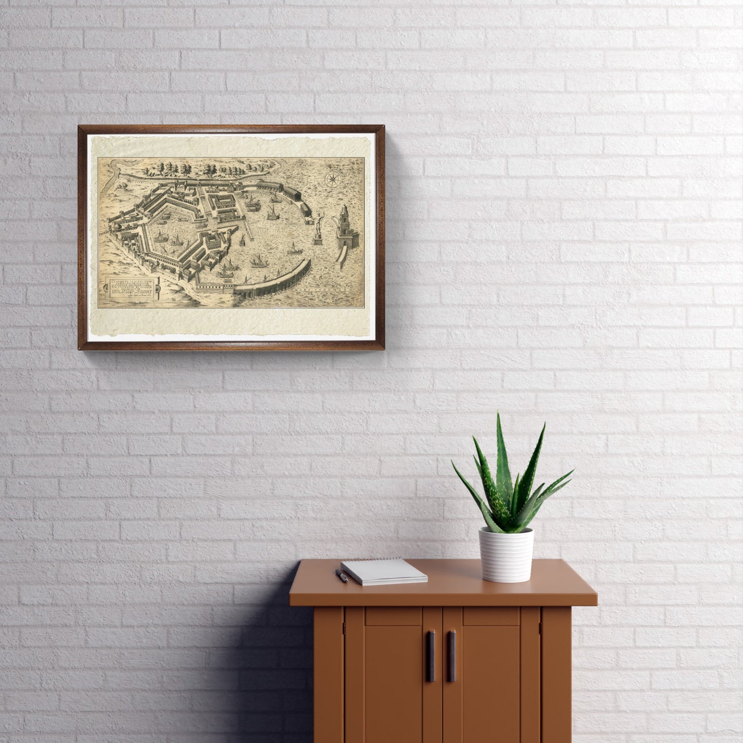
The rare map of Ostia, engraved by Antonio Lafreri, offers a detailed and accurate view of the port of Rome as it was during the Roman Empire. Lafreri, one of the most important Italian cartographers of the 16th century, is known for his contribution to cartography with the Lafreri School, which revolutionized the creation of atlases. The elegantly engraved map of Ostia represents not only a precious historical document but also an example of the skill and innovation in cartography of the period. The Lafreri School, operating between 1544 and 1585, was famous for its composite atlases, which included maps selected based on buyers' interests. This approach led to a variety of styles and formats, visible in surviving atlases. Lafreri, together with prominent figures such as Giacomo Gastaldi and Paolo Forlani, contributed significantly to the diffusion of the idea of geography and the cartographic art of the period. His works, including the map of Ostia, are considered milestones of Renaissance cartography and are appreciated for their combination of historical and artistic value.
DO YOU WANT INFORMATION ON THE PRODUCT? WHATSAPP CHAT WITH A CONSULTANT
WHY BUY
- Magnificent and real colors
- It makes any room elegant
- Perfect for a prestigious gift
CHARACTERISTICS
Print on handmade Amalfi paper with frame
Sheet size: 30 x 42 cm
With frame: 32 x 44 cm;
Material: work printed on very fine handmade Amalfi paper with fringed edges, handmade beech wood frame
How reproductions are made


Scopri i pregiati materiali di Trizio Editore
Carta di Amalfi fatta a mano, cornice in legno di faggio e vetro museale. Guarda i particolari dei prodotti che renderanno la tua casa più elegante e preziosa.


