The map of Holy Island and Farne Island was engraved by John Speed for his atlas “The Theatre of the Empire of Great Britaine”, one of the first great cartographic surveys of the territories of the English Crown (ed. 1611-12, reprinted 1676). The sheet, devoted to the islands off the Northumberland coast, combines nautical interest and antiquarian description, with compass roses, indented coastlines and place-name annotations that guided navigators and travellers. Holy Island (Lindisfarne), a medieval monastic centre of great importance, and the Farne Islands, known for their danger to shipping, are presented as strategic elements of maritime control in the North Sea in the early modern period. The work reflects the monarchy's desire to represent its island “empire” graphically in political and religious terms.
Unique quality material
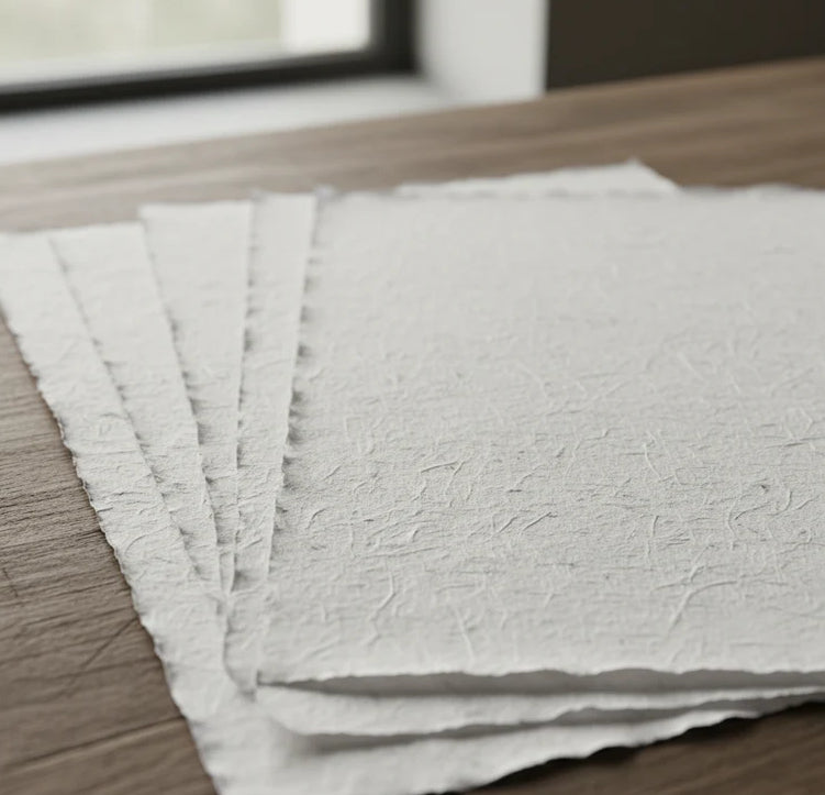
Print on handmade Amalfi paper Sheet size: 29 x 42 cm (11.4 x 16.5 in) With frame: 31 x 44 cm (12.2 x 17.3 in) Material: artwork printed on very fine handmade Amalfi paper with deckled edges Frame: light brown beech wood and wood pulp, handmade
How an Amalfi art print is made, what the frame is like, what museum glass is, how long shipping takes, and how returns work: we’ve gathered all the answers on a single page.