The Map of Regensburg in the Civitates Orbis Terrarum shows the free imperial city of Regensburg at the end of the 16th century, in a spectacular bird's-eye view engraved by Joris Hoefnagel and published by Georg Braun and Frans Hogenberg in the fifth volume of the atlas (1596-98). In the foreground are peasants, merchants and soldiers, underlining the economic vitality and commercial role of the city on the Danube. In the background rises the city skyline dominated by the Gothic cathedral and numerous churches, a symbol of Regensburg's religious and political weight as the seat of imperial diets. The coat of arms with the double-headed eagle and the dedication to Rudolf II exalt the bond with the Habsburg Empire. The image combines topographical accuracy with celebratory intent, typical of the first great European atlas of city views.
Unique quality material
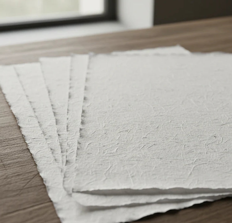
Print on handmade Amalfi paper Sheet size: 29 x 42 cm (11.4 x 16.5 in) With frame: 31 x 44 cm (12.2 x 17.3 in) Material: artwork printed on very fine handmade Amalfi paper with deckled edges Frame: light brown beech wood and wood pulp, handmade
How an Amalfi art print is made, what the frame is like, what museum glass is, how long shipping takes, and how returns work: we’ve gathered all the answers on a single page.