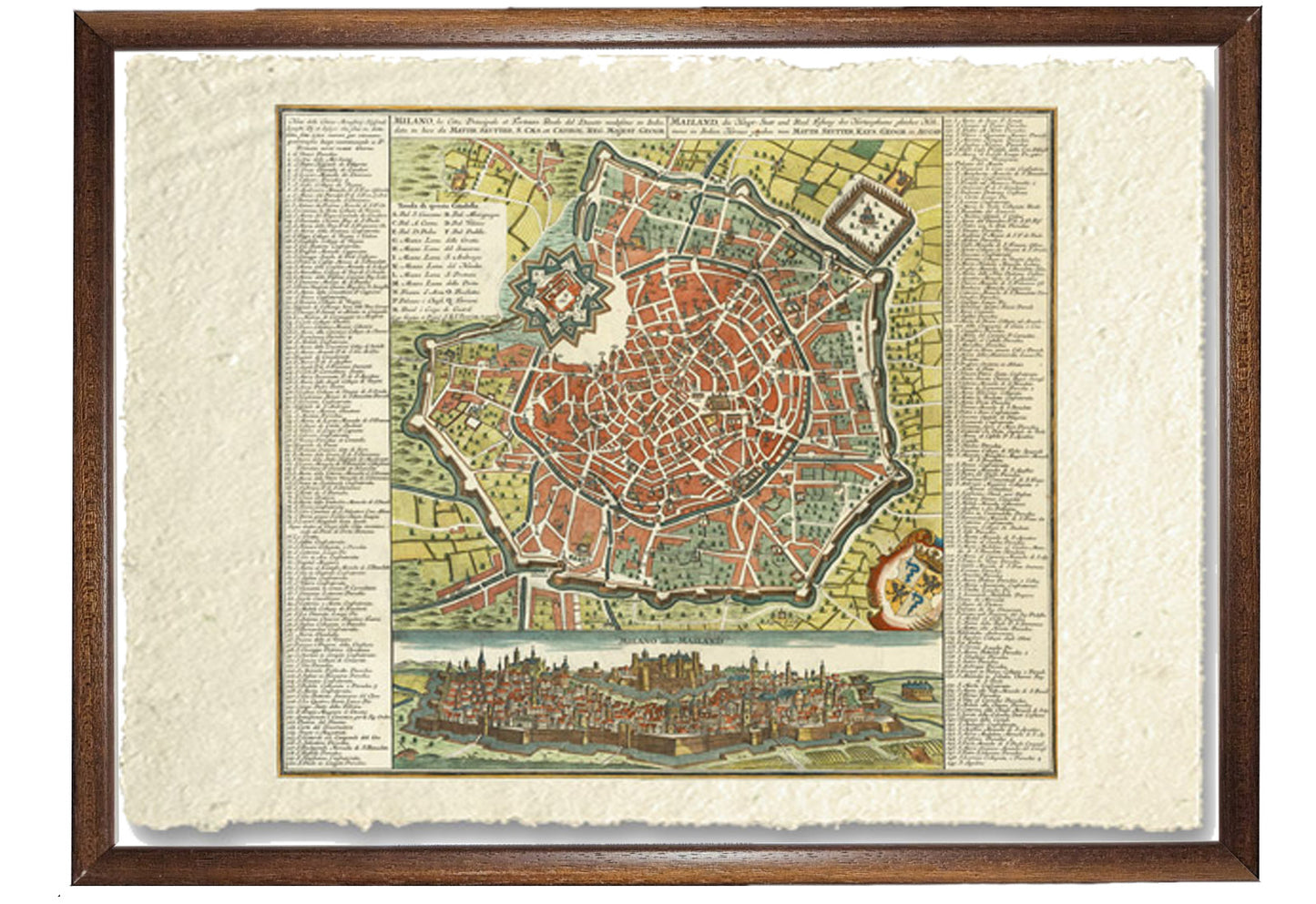
Map of Milan, the Principal City and Royal Fortress of the Duchy
Map of Milan, the Principal City and Royal Fortress of the Duchy
Couldn't load pickup availability
SKU:ACYQKNVJHRZGU
BUY ONLINE, INSURED TRACEABLE DELIVERY
Unique quality material
Print on handmade paper from Amalfi
Measurement : 29 x 42 cm
Material : work printed on very fine handmade Amalfi paper with fringed edges
Frame : Light brown in beech wood and handmade wood pulp
YOU WANT A CUSTOMIZED PRODUCT
OR INFORMATION? WRITE TO US
The work of reproduction
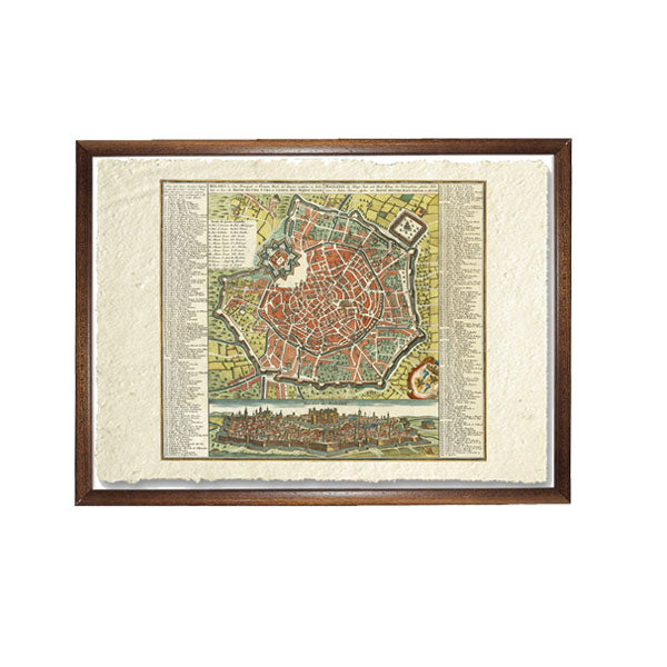
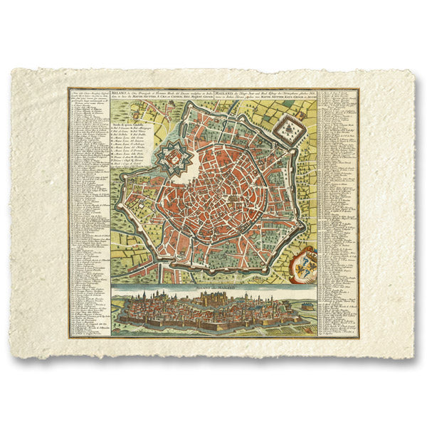
Fine example of Seutter's decorative and highly detailed plan of Milan, with a striking view of the city below.
The view below the map shows the city on top of a hill, with the fortifications in the foreground.
Matthäus Seutter (1678-1757) was an important German cartographer of the mid-18th century. Initially apprenticed to a brewer, he trained as an engraver under Johann Baptist Homann in Nuremberg before opening a shop in his native Augsburg. In 1727 he was awarded the title of Imperial Geographer. His most famous work is Atlas Novus Sive Tabulae Geographicae , published in two volumes ca. 1730, although most of his maps are based on earlier works by other cartographers such as Homann, Delisles and de Fer.
How reproductions are made


Scopri i pregiati materiali di Trizio Editore
Carta di Amalfi fatta a mano, cornice in legno di faggio e vetro museale. Guarda i particolari dei prodotti che renderanno la tua casa più elegante e preziosa.


