The map of Laputa, Balnibari, Luggnagg, Glubbdubdrib and Japan is a satirical illustration accompanying the third part of "Gulliver's Travels", published anonymously in London in 1726 by the printer Benjamin Motte, in the style of contemporary cartographers such as Herman Moll. It partly follows the real geography of East Asia, with a recognisable Japan beside distorted coasts of Korea and a fantastical Siberia, all set in a sea of "Parts Unknown", the regions still beyond European knowledge. The imaginary islands marked – Laputa, Balnibarbi, Luggnagg and Glubbdubdrib – turn the technical language of cartography into a narrative device: routes, ports and place names build the illusion of an authentic atlas, while in fact supporting Swift's fierce criticism of abstract science, politics and the fashion for exotic travel accounts.
Unique quality material
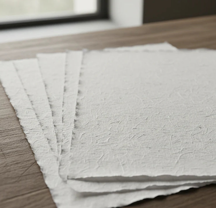
Print on handmade Amalfi paper Sheet size: 29 x 42 cm (11.4 x 16.5 in) With frame: 31 x 44 cm (12.2 x 17.3 in) Material: artwork printed on very fine handmade Amalfi paper with deckled edges Frame: light brown beech wood and wood pulp, handmade
How an Amalfi art print is made, what the frame is like, what museum glass is, how long shipping takes, and how returns work: we’ve gathered all the answers on a single page.