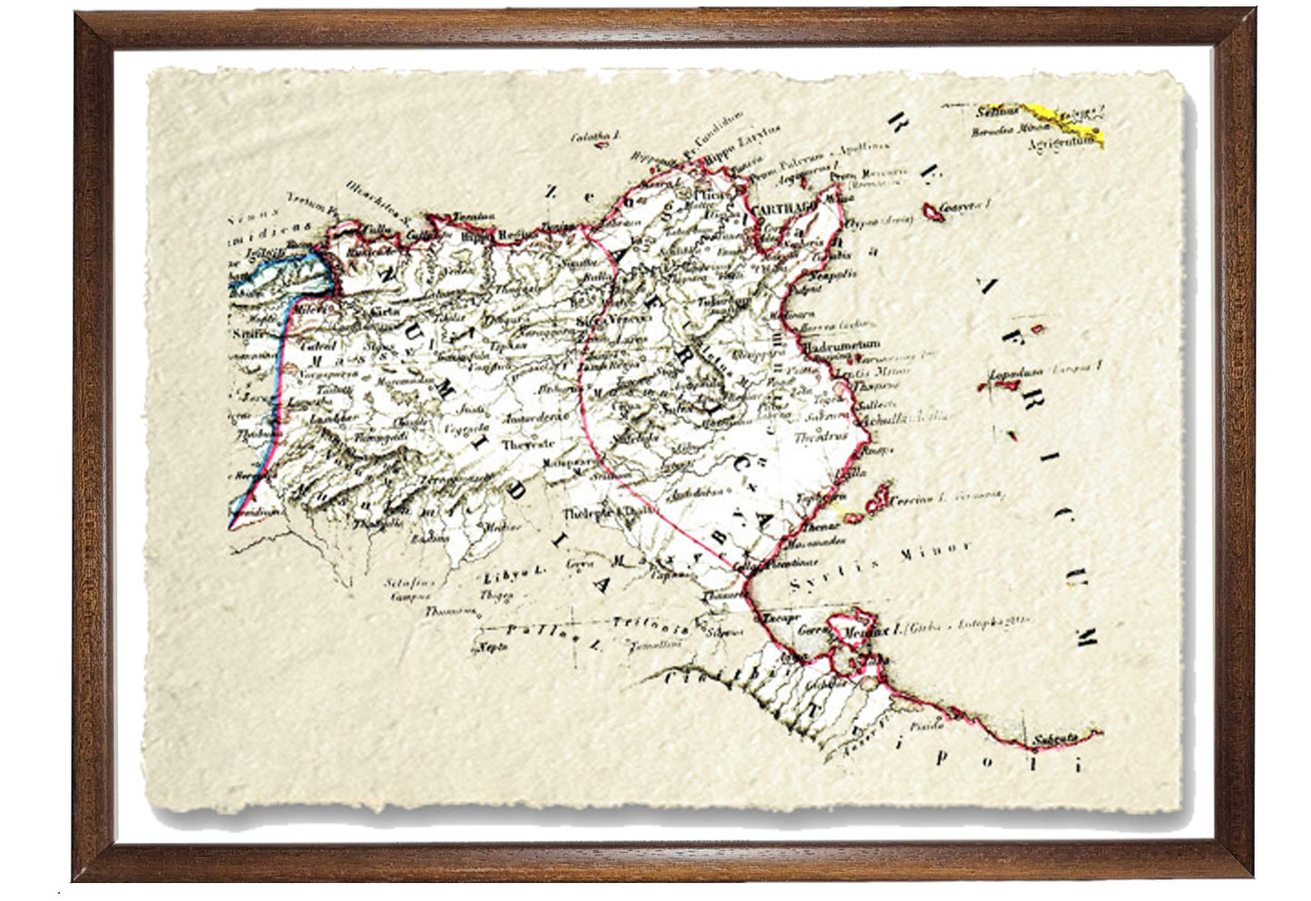
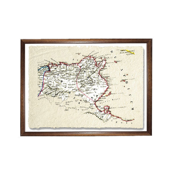
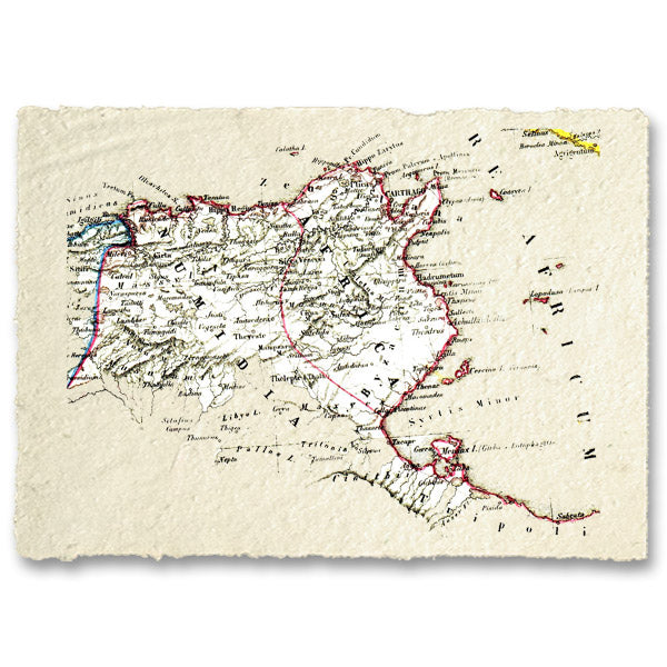
Numidia represented an ancient region located in North Africa, between Mauretania and the territories controlled by Carthage. The region was home to the Numidians, who were predominantly sedentary farmers although their name might suggest nomadic shepherds. After the Second Punic War, Numidia became a Roman province called Africa Nova. The region underwent a strong Romanization and was characterized by numerous cities. Subsequently, it fell under the rule of the Vandals, the Byzantines and finally the Arabs. Among the main cities of Numidia were Cirta (today Constantina), Hippo Regius (today Annaba), Theveste (today Tébessa) and Lambaesis (today Lambèse).
BUY ONLINE, INSURED TRACEABLE DELIVERY
Unique quality material
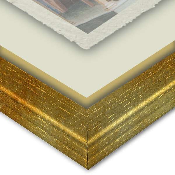
Print on handmade paper from Amalfi Measurement : 29 x 42 cm Material : work printed on very fine handmade Amalfi paper with fringed edges Frame : Light brown in beech wood and handmade wood pulp
Carta di Amalfi fatta a mano, cornice in legno di faggio e vetro museale. Guarda i particolari dei prodotti che renderanno la tua casa più elegante e preziosa.