The State of the Church 1620
The State of the Church 1620
Couldn't load pickup availability
SKU:BRQD4SZYTEJ69
The work
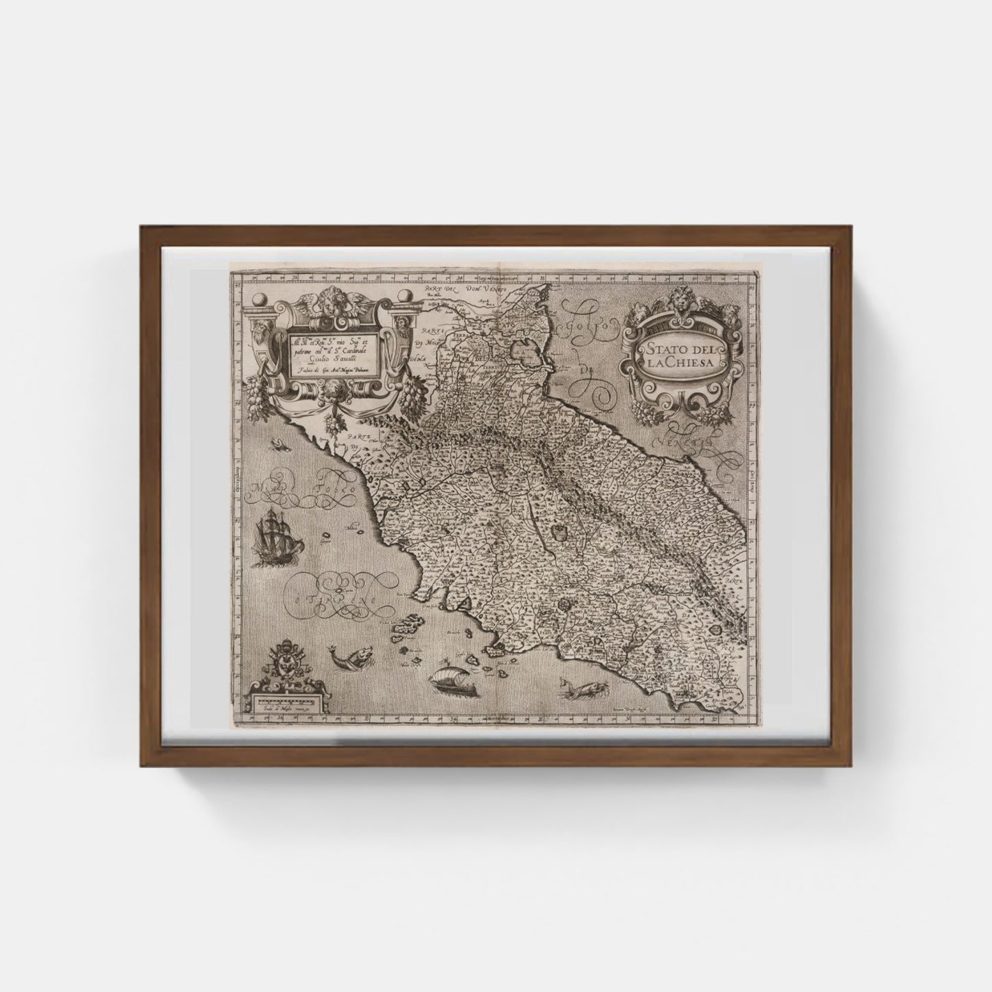
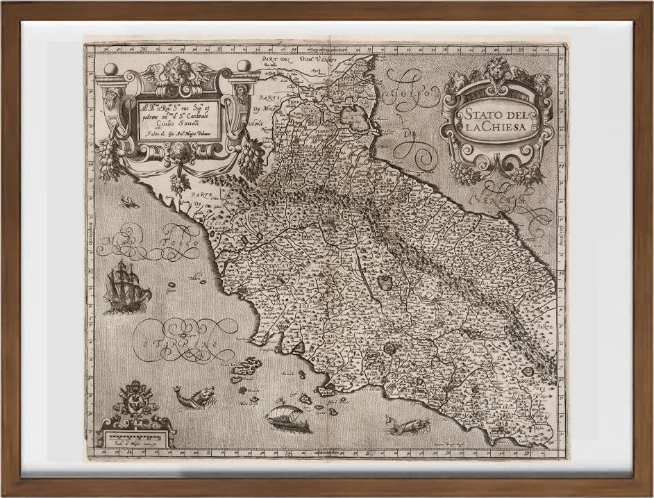
This map represents the State of the Church in the 17th century. It is part of the first edition of the first printed atlas of Italy, entitled "Italia", published in Bologna by Sebastiano Bonomi in 1620. The atlas was initially designed and begun by Giovanni Antonio Magini in 1594 and completed posthumously by his son Fabio in 1620 Magini, a renowned cartographer, availed himself of the collaboration of various engravers to complete this monumental work, including the English Benjamin Wright and the Dutch Arnoldi brothers.
The map shows the political borders, major cities, rivers and mountains of the Church State. It also includes ornamental details such as ships in the sea and sea creatures, as well as decorative cartouches indicating the title and dedications. The wavy lines represent the sea, following the 'Mercator' style typical of Northern European cartography of the time.
DO YOU WANT INFORMATION ON THE PRODUCT? WHATSAPP CHAT WITH A CONSULTANT
WHY BUY
- Magnificent and real colors
- It makes any room elegant
- Perfect for a prestigious gift
CHARACTERISTICS
A framed photographic ULTRAHD print gives a visual impact worthy of an art gallery. The beveled passe-partout around the image is made of real museum cardboard: a framed photo is a decorative element for connoisseurs.
Your photo is immediately ready to hang. Printed with razor-sharp resolution and brilliant colours.
The special charm of a framed photo print is also in its elegant handmade frame. Each print is protected with crystal clear acrylic glass.
Product Specifications :
Printed photo (260 g/m²) with a bright white gloss finish
White passe-partout cut with a 45° bevel
Measurement : 80 x 60 cm
Material : Acrylic glass and wooden frame
How reproductions are made


Scopri i pregiati materiali di Trizio Editore
Carta di Amalfi fatta a mano, cornice in legno di faggio e vetro museale. Guarda i particolari dei prodotti che renderanno la tua casa più elegante e preziosa.


