The Servian walls - Historical map
The Servian walls - Historical map
Couldn't load pickup availability
SKU:BM5DROIRA654789
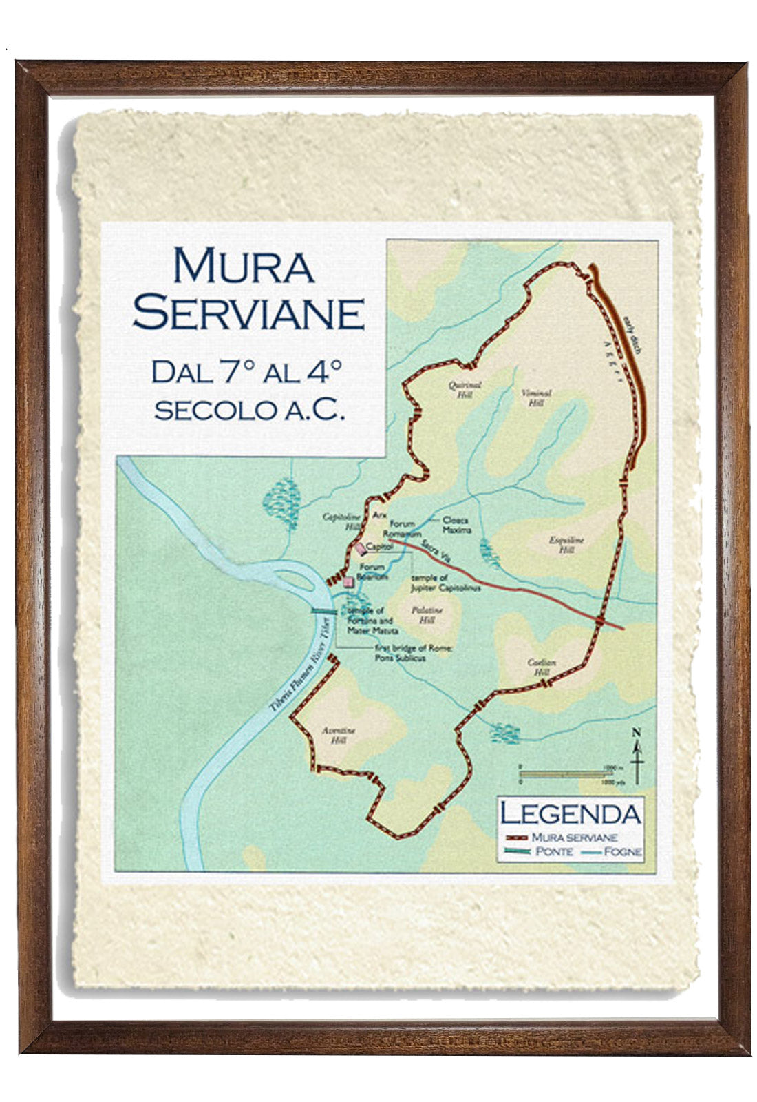
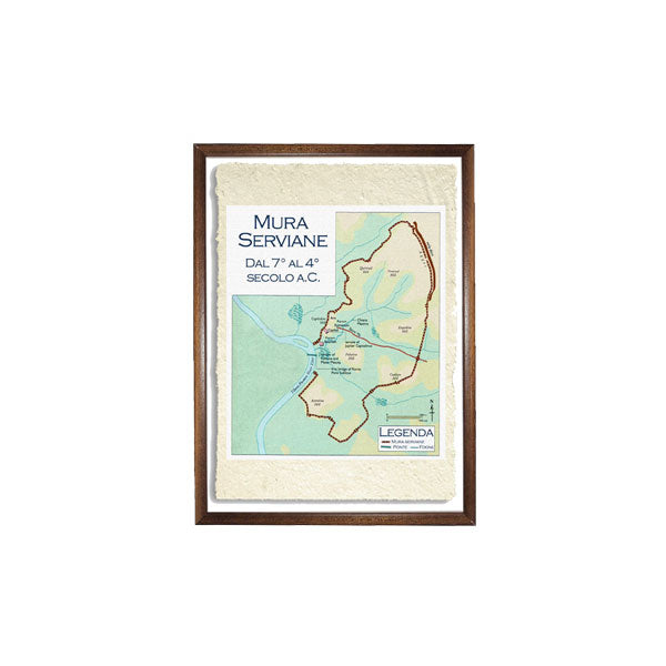
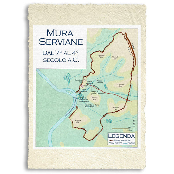
The Servian Wall was an ancient Roman defensive barrier built around the city of Rome in the early 4th century BC. The wall was constructed of volcanic tuff and was up to 10 m high in places, 3.6 m wide at the base, long 11 km, and is believed to have had 16 main gates, of which only one or two have survived, and enclosed a total area of 246 hectares. In the 3rd century AD it was replaced by the construction of the larger Aurelian Walls as the city of Rome grew beyond the border of the Servian Walls.
BUY ONLINE, INSURED TRACEABLE DELIVERY
Unique quality material
Print on handmade paper from Amalfi
Measurement : 29 x 42 cm
Material : work printed on very fine handmade Amalfi paper with fringed edges
Frame : Light brown in beech wood and handmade wood pulp
YOU WANT A CUSTOMIZED PRODUCT
OR INFORMATION? WRITE TO US
How reproductions are made


Scopri i pregiati materiali di Trizio Editore
Carta di Amalfi fatta a mano, cornice in legno di faggio e vetro museale. Guarda i particolari dei prodotti che renderanno la tua casa più elegante e preziosa.


