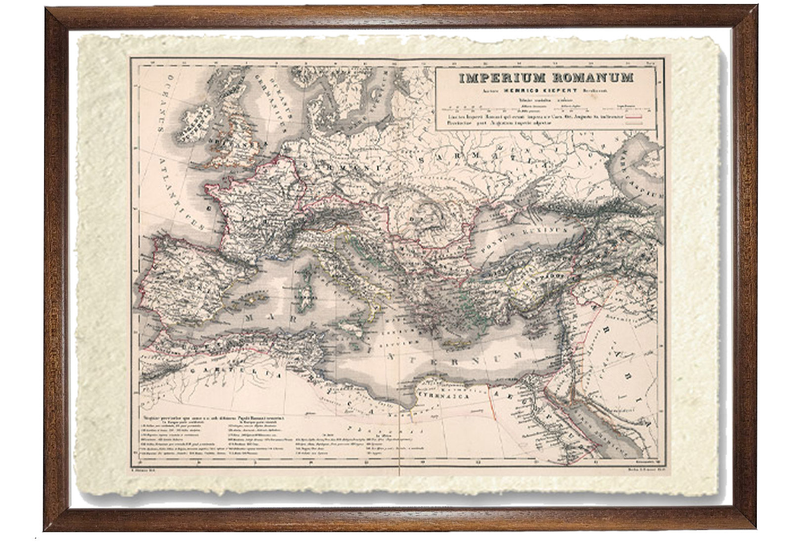
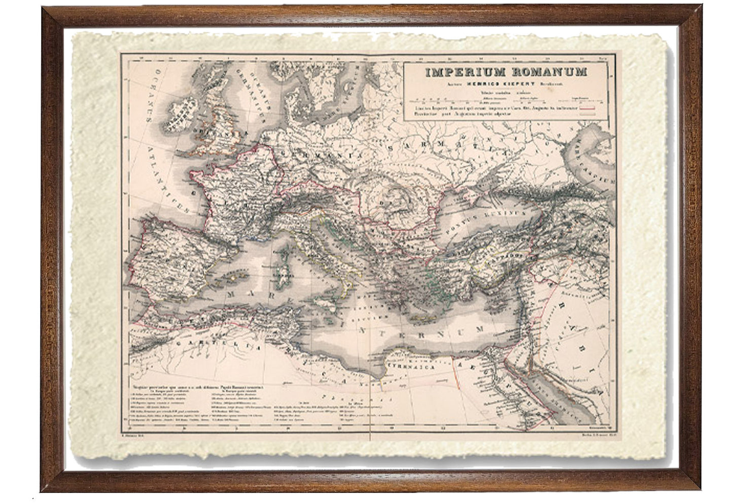
Roman Empire under Emperor Augustus with subsequent provinces
Roman Empire under Emperor Augustus with subsequent provinces
Couldn't load pickup availability
SKU:C86N3ZTSQYAXK
BUY ONLINE, INSURED TRACEABLE DELIVERY
Unique quality material
Print on handmade paper from Amalfi
Measurement : 29 x 42 cm
Material : work printed on very fine handmade Amalfi paper with fringed edges
Frame : Light brown in beech wood and handmade wood pulp
YOU WANT A CUSTOMIZED PRODUCT
OR INFORMATION? WRITE TO US
The work of reproduction
First edition, 1859 print of Kiepert's antique atlas, with 8 double-page maps. Published by Williams & Norgate, London and Edinburgh.
Also published by Dietrich Reimer in Berlin. Cover and title page in English and Latin. Maps in Latin, hand-colored outlines, of political and administrative borders. Some maps dated 1858.
They show major cities, towns, roads, rivers, canals and mountains. Relief shown by hatches. The prime meridians are Paris and Greenwich. The geographer Heinrich Kiepert (1818-1899) is generally recognized as one of the most important scholarly cartographers of the second half of the 19th century.
How reproductions are made


Scopri i pregiati materiali di Trizio Editore
Carta di Amalfi fatta a mano, cornice in legno di faggio e vetro museale. Guarda i particolari dei prodotti che renderanno la tua casa più elegante e preziosa.

