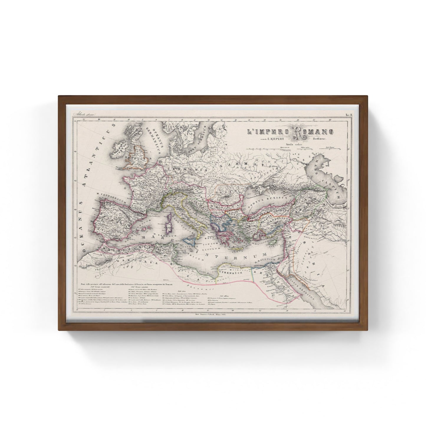
Roman Empire maximum expansion of Vallardi and Kiepert
Roman Empire maximum expansion of Vallardi and Kiepert
Couldn't load pickup availability
SKU:MJ4QYX5PA7L2U
The work
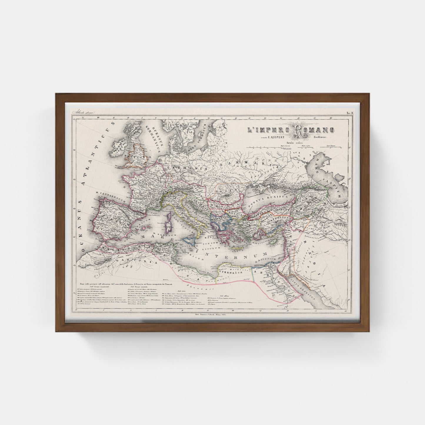
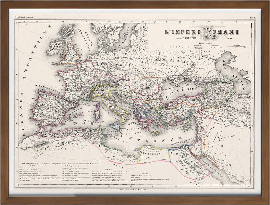
Historical map of the Roman Empire . The map shows political borders, cities, railways, roads, topography, bodies of water, drainage systems, coastlines and islands. The relief is represented with hatching. Includes lines of latitude and longitude, as well as three graphical scales and a scale statement. Names of the provinces with the indication of the year (from the foundation of Rome) in which they were subjugated by the Romans.
Francesco Vallardi (1809-1895) was an important 19th-century Italian engraver, publisher and cartographer. Belonging to a family of Milanese publishers, Vallardi is known for his cartographic works
DO YOU WANT INFORMATION ON THE PRODUCT? WHATSAPP CHAT WITH A CONSULTANT
WHY BUY
- Magnificent and real colors
- It makes any room elegant
- Perfect for a prestigious gift
CHARACTERISTICS
A framed photographic ULTRAHD print gives a visual impact worthy of an art gallery. The beveled passe-partout around the image is made of real museum cardboard: a framed photo is a decorative element for connoisseurs.
Your photo is immediately ready to hang. Printed with razor-sharp resolution and brilliant colours.
The special charm of a framed photo print is also in its elegant handmade frame. Each print is protected with crystal clear acrylic glass.
Product Specifications :
Printed photo (260 g/m²) with a bright white gloss finish
White passe-partout cut with a 45° bevel
Measurement : 80 x 60 cm
Material : Acrylic glass and wooden frame
How reproductions are made


Scopri i pregiati materiali di Trizio Editore
Carta di Amalfi fatta a mano, cornice in legno di faggio e vetro museale. Guarda i particolari dei prodotti che renderanno la tua casa più elegante e preziosa.


