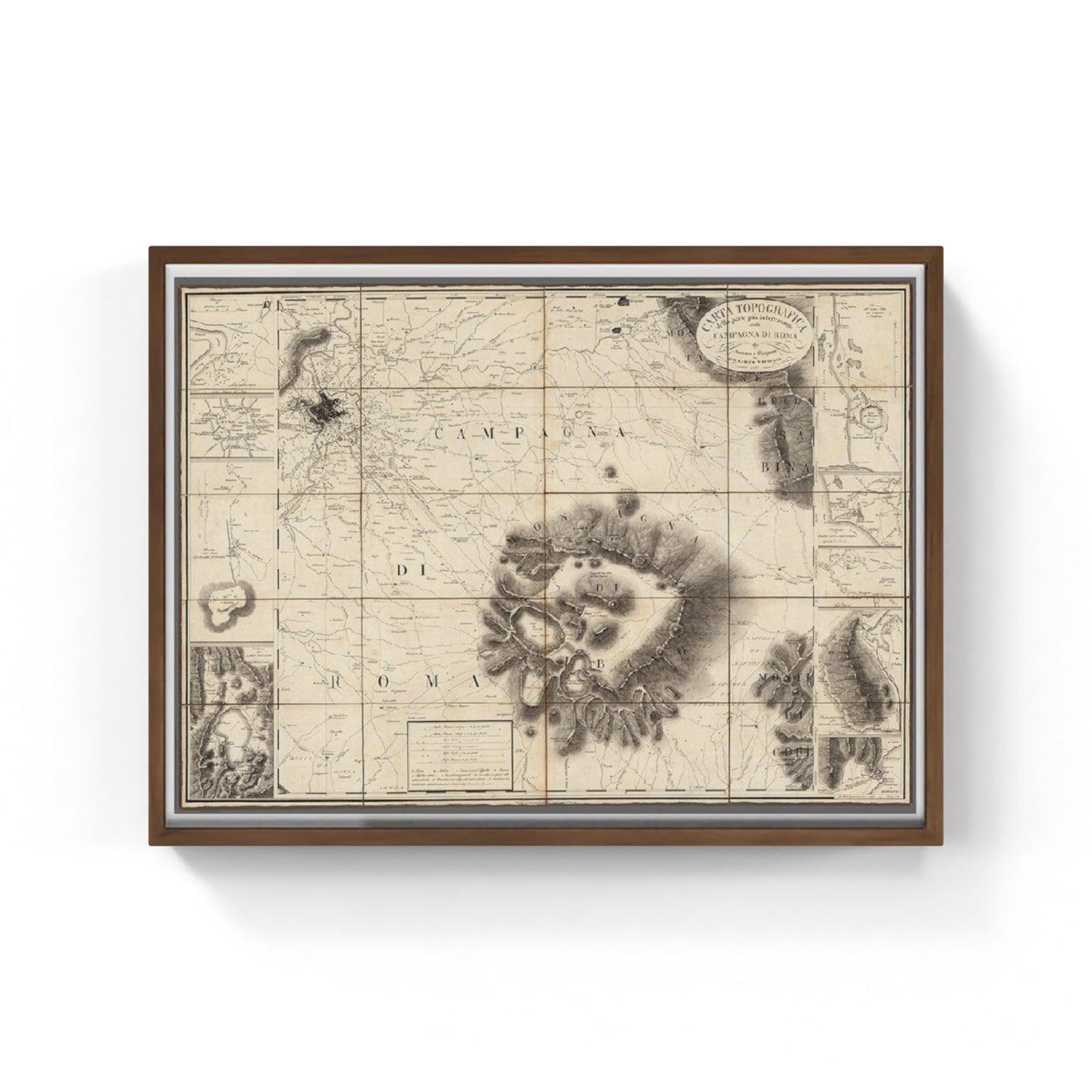
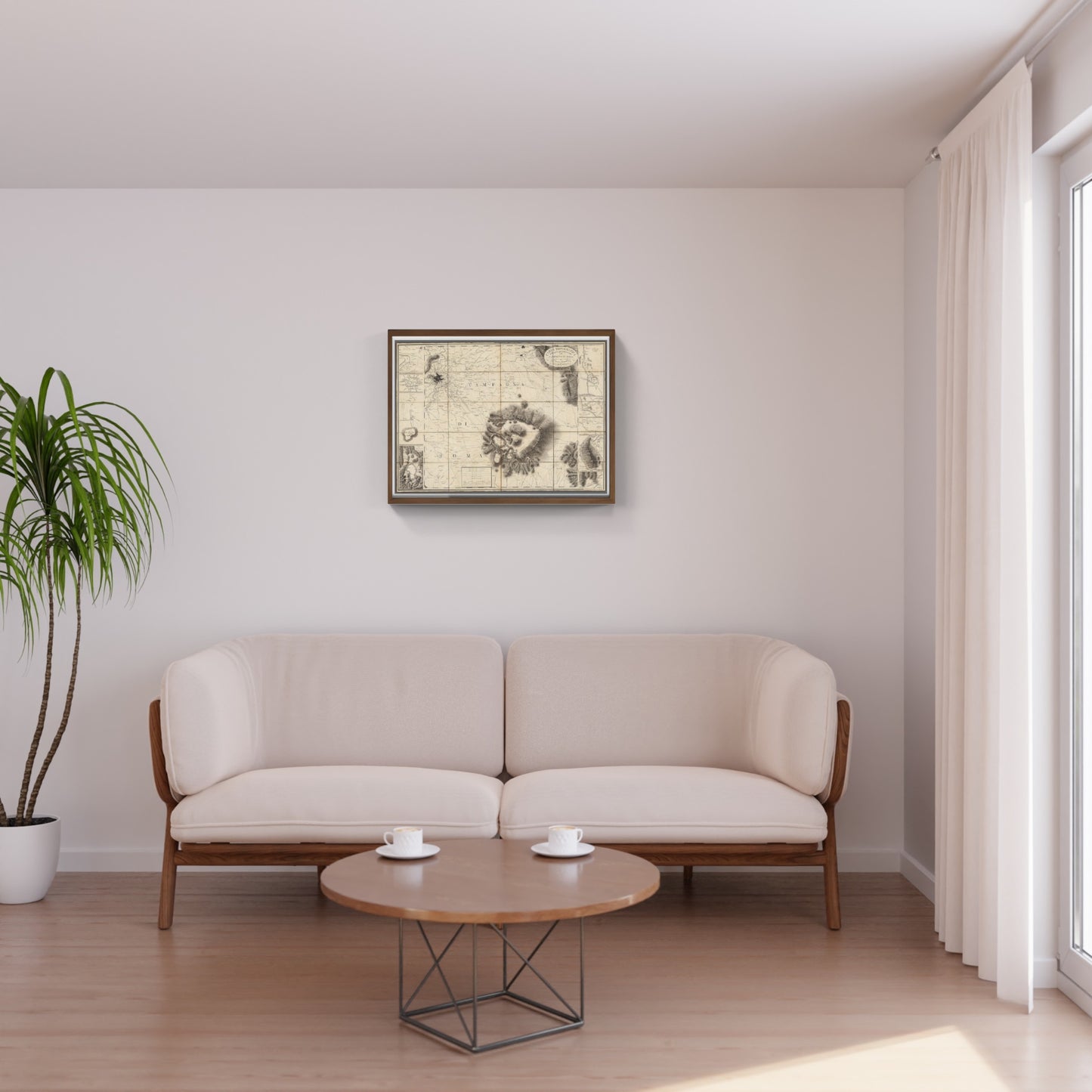
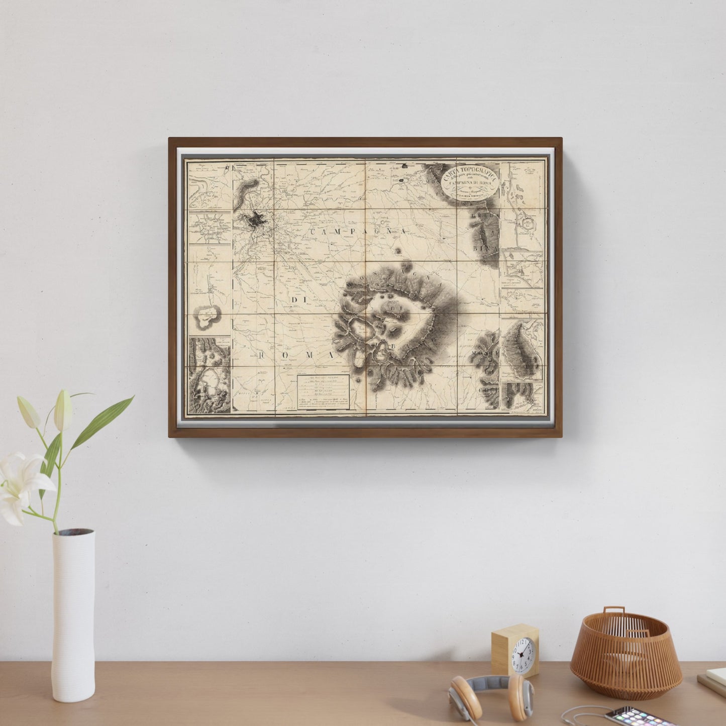
Topographical map of the most interesting part of the Roman Campaign (1827)
Topographical map of the most interesting part of the Roman Campaign (1827)
Couldn't load pickup availability
SKU:G9H8J7K6L5Z4X
The work
Finely engraved map of the area around Rome, published in 1827 by Giovanni Enrico Westphal. The map was probably intended to be sold as an accompaniment to a guide published by Westphal for the area around Rome.
WHY BUY
- Magnificent and real colors
- It makes any room elegant
- Perfect for a prestigious gift
CHARACTERISTICS
A framed photographic ULTRAHD print gives a visual impact worthy of an art gallery. The beveled passe-partout around the image is made of real museum cardboard: a framed photo is a decorative element for connoisseurs.
Your photo is immediately ready to hang. Printed with razor-sharp resolution and brilliant colours.
The special charm of a framed photo print is also in its elegant handmade frame. Each print is protected with crystal clear acrylic glass.
Product Specifications :
Printed photo (260 g/m²) with a bright white gloss finish
White passe-partout cut with a 45° bevel
Measurement : 80 x 60 cm
Material : Acrylic glass and wooden frame
DO YOU WANT INFORMATION ON THE PRODUCT? WHATSAPP CHAT WITH A CONSULTANT
How reproductions are made


Scopri i pregiati materiali di Trizio Editore
Carta di Amalfi fatta a mano, cornice in legno di faggio e vetro museale. Guarda i particolari dei prodotti che renderanno la tua casa più elegante e preziosa.


