WW2 Map of Europe
WW2 Map of Europe
o una misura particolare? • Avvia chat WhatsApp
Couldn't load pickup availability
SKU:U2K9P7S1L8N5B
This historical map of Europe illustrates the political situation just before the outbreak of World War II. Territories controlled by Germany and its allies are highlighted in red, while neutral countries are marked in grey; Great Britain, France, and their allies are shown in yellow. The map was published after the Italian annexation of Albania in April 1939, but presumably before Germany declared war on Poland in September of the same year.
Within each country, there is a box indicating important data such as population, army size, and air power of each nation. Five additional text boxes report the sizes of the navies of the main European nations: Great Britain, France, Germany, Russia, and Italy. The map also indicates major industries, natural resources, naval bases, railways, canals, and fortified lines. A smaller insert shows the war theatre between Japan and China in Manchuria, emphasizing the global dimensions of the impending conflict.
Feel history at your fingertips
Our reproductions are faithful to the original and printed on precious Amalfi paper.
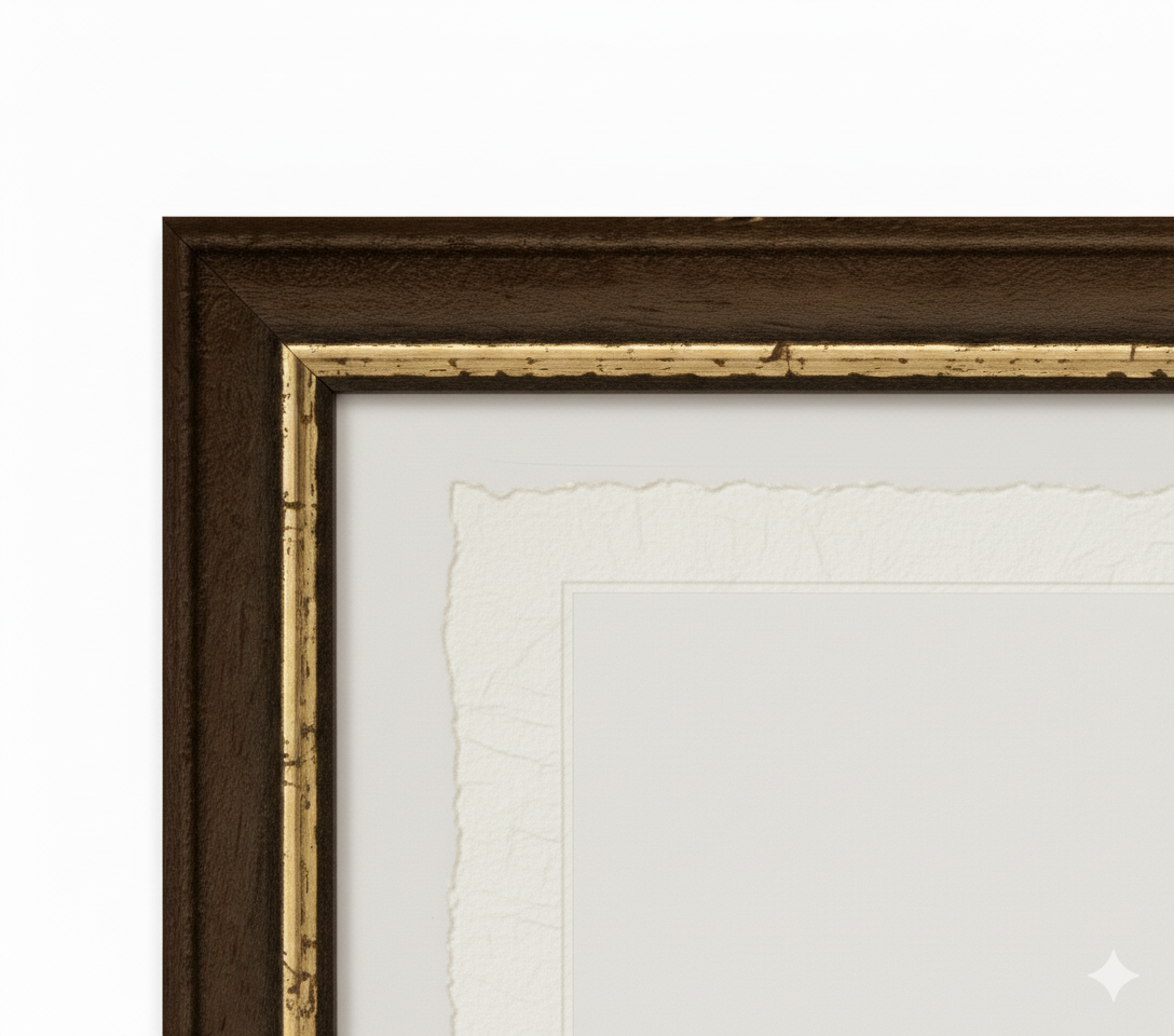
It is a paper made exclusively from cotton fibers, thick and naturally porous, yet soft to the touch, with characteristic frayed edges that attest to its artisanal craftsmanship.
It is still made today according to ancient medieval techniques, in the workshops of Amalfi.
Materials of sublime quality
-
 Amalfi Paper
Thick, porous, with typical frayed edges -
 Handcrafted Frame
Made of precious wood, hand-assembled -
 Museum Glass
The same ultra-clear glass used in museums
Unique quality material
Printed on handmade Amalfi paper
Sheet size: 40 x 30 cm
With frame: 43 x 33 cm
Material: artwork printed on exquisite handmade Amalfi paper with frayed edges
Frame: Light brown, handmade from beech wood and wood pulp