World War II: The Pacific Theatre by Franklin Scott
World War II: The Pacific Theatre by Franklin Scott
o una misura particolare? • Avvia chat WhatsApp
Couldn't load pickup availability
SKU:M2K8P7L5N9T3R
Franklin Scott's map "World War II: Pacific Area" details the vast Pacific theater of war during the global conflict, highlighting the main areas of naval and land operations between the Allied powers, primarily the United States and Australia, and the Japanese Empire. The map clearly illustrates the strategic positions of key islands, shipping routes, naval bases, and crucial battle zones such as Guadalcanal, the heart of some of the most important and bloody military campaigns in the Pacific. It emphasizes the strategic context encompassing both amphibious and naval air operations, showing lines of advance and resistance points.
This cartographic work is also an important historical document that helps to understand the complexity of the Pacific war, marking the tactical and geographical differences between the two sides. Franklin Scott, known for detailed military maps, captures not only the geography but also the intensity of the conflict, integrating information on bases, routes, and fleet movements. The map serves as an educational and strategic analysis tool, allowing visualization of the vast and complex Pacific scenario, a crucial theater that influenced the outcome of World War II.
Feel history at your fingertips
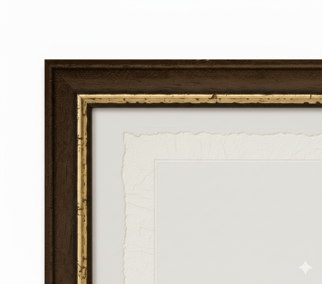
Our reproductions are faithful to the original and printed on fine Amalfi paper.
It is a paper made exclusively from cotton fibers, thick and naturally porous, yet soft to the touch, with the characteristic deckled edges that attest to its artisanal craftsmanship.
It is still made today according to ancient medieval techniques in the workshops of Amalfi.
Materials of sublime quality
-
 Amalfi Paper
Thick, porous, with typical deckled edges -
 Artisan Frame
Made of fine wood, hand-assembled -
 Museum Glass
The same ultra-clear glass used in museums
Unique Quality Material
Printed on handmade Amalfi Paper
Sheet size: 40 x 30 cm
With frame: 43 x 33 cm
Material: artwork printed on very fine handmade Amalfi paper with deckled edges
Frame: Light brown, made of handcrafted beech wood and wood pulp