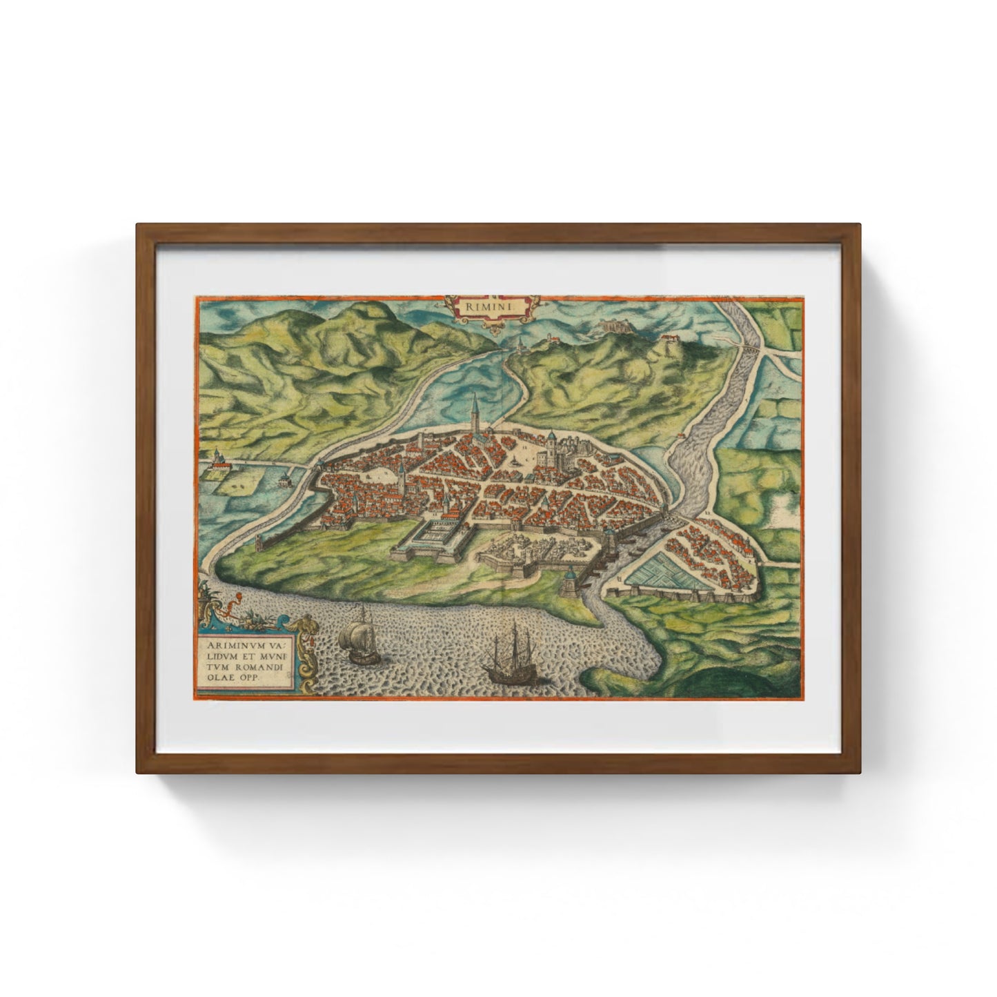
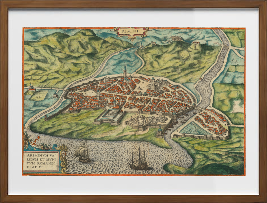
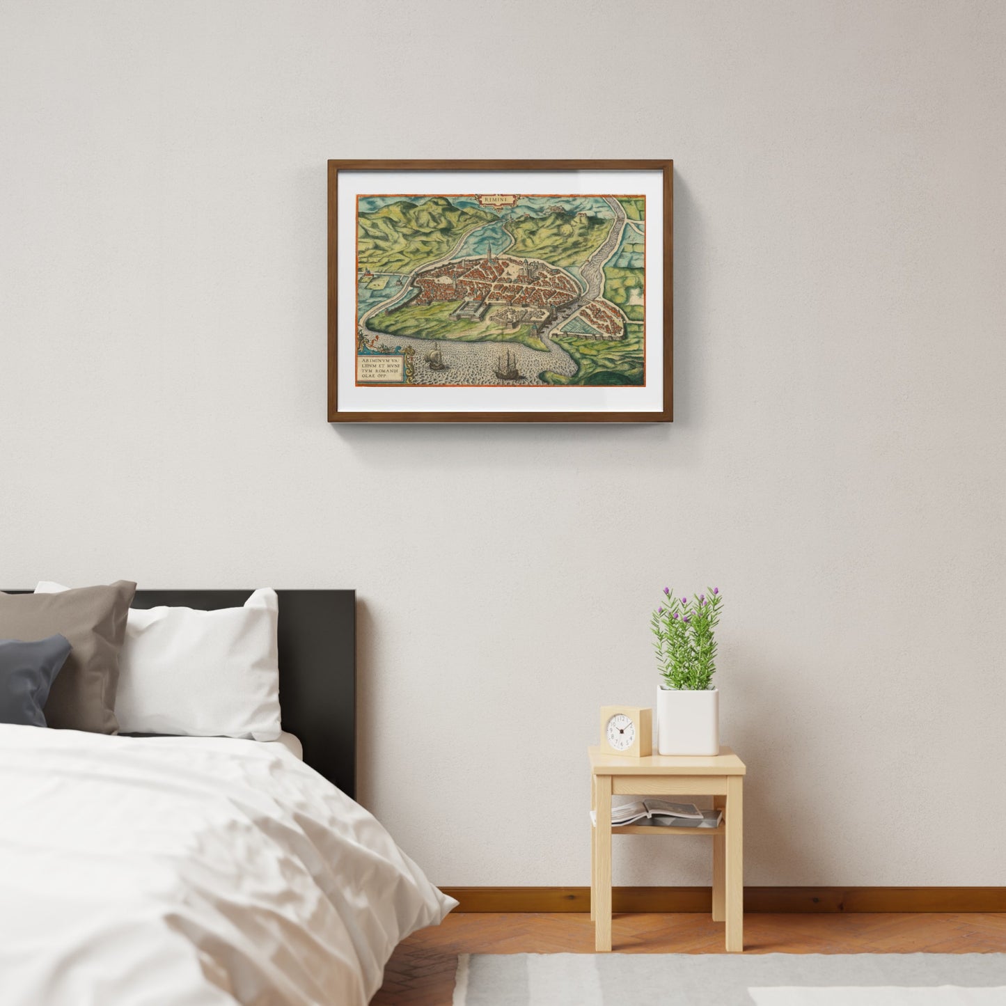
Rimini / Ariminum validum et munitum romandi olae opp. by Georg Braun and Frans Hogenberg
Rimini / Ariminum validum et munitum romandi olae opp. by Georg Braun and Frans Hogenberg
Couldn't load pickup availability
SKU:W3F1Y7T6N9D2L
PAY IN THREE INSTALLMENTS WITH PAYPAL
The map of ancient Rimini by Georg Braun and Frans Hogenberg is a finely colored view taken from the famous atlas Civitates Orbis Terrarum, published in Cologne starting in 1572. This depiction shows the city from a bird’s-eye perspective, highlighting with great attention to detail the urban features, fortifications, and the port, with two ships in the foreground that emphasize the historical importance of maritime trade for Rimini. The work by Braun and Hogenberg combines rigorous topographical accuracy with refined engraving art, offering a historical document of great aesthetic and cultural value.
Part of a monumental editorial project gathering over 546 views of cities from the known world in the 16th century, the map of Rimini stands out for its vibrant coloration and its ability to capture the essence of urban life at the time. The text accompanying the engraving, written in Latin by Braun, describes the historical, geographical, and economic aspects of the city, making this map a valuable tool for scholars, collectors, and enthusiasts of ancient cartography and urban history.
DO YOU WANT INFORMATION ON THE PRODUCT? WHATSAPP CHAT WITH A CONSULTANT
FEATURES
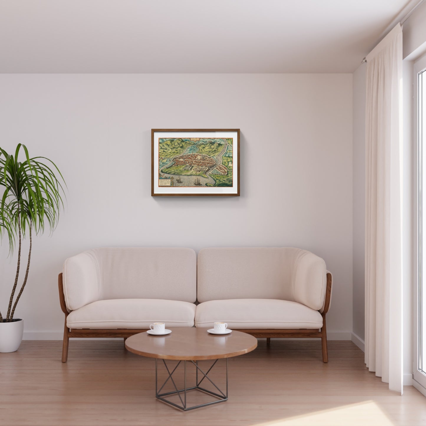
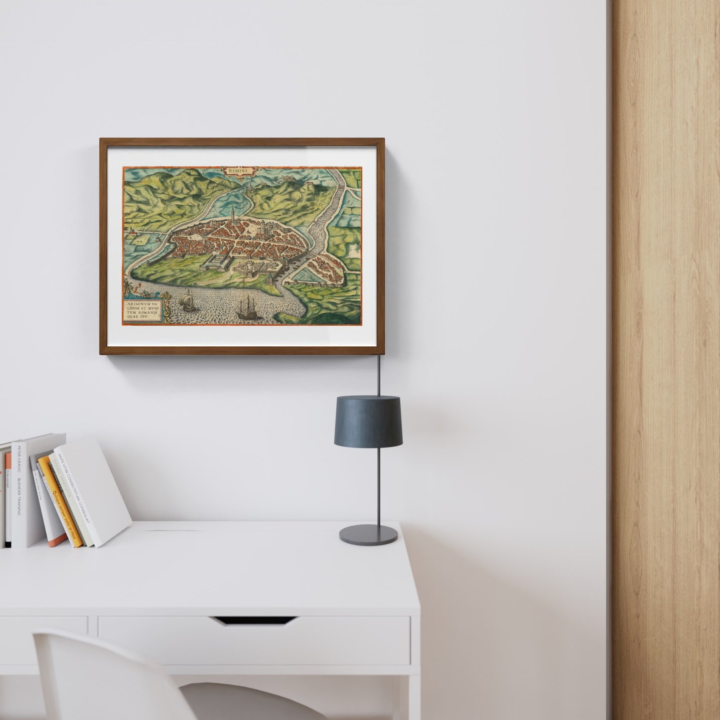
A framed print creates a visual impact worthy of an art gallery. The beveled mounting board around the image is made of genuine museum-quality cardboard: a framed photo is a decorative element for experts.
The special charm of a framed print also lies in its elegant, handmade frame. Each print is protected by crystal-clear acrylic glass.
Product Specifications:
Print: (260 g/m²) with a brilliant white gloss finish
Mounting board: White, 45° bevel cut
Size: 80 x 60 cm
Material: Acrylic glass and wooden frame
Scopri i pregiati materiali di Trizio Editore
Carta di Amalfi fatta a mano, cornice in legno di faggio e vetro museale. Guarda i particolari dei prodotti che renderanno la tua casa più elegante e preziosa.


