Map of Turin besieged in 1706 by Paul de Rapin de Thoyras
Map of Turin besieged in 1706 by Paul de Rapin de Thoyras
o una misura particolare? • Avvia chat WhatsApp
Couldn't load pickup availability
SKU:Z9L3N6F2Y7Q1W
This fascinating historical map, created by Paul de Rapin de Thoyras, offers a detailed representation of the Siege of Turin in 1706, one of the key events of the War of the Spanish Succession. The map shows the fortified city, bridges, surrounding countryside, and troop positions, accompanied by a legend rich in strategic information. It is a cartographic work that combines aesthetic value with historical accuracy, offering an authentic glimpse into a decisive moment in European history.
The drawing documents the imposing assault led by French forces commanded by Philip II of Orléans and Louis d’Aubusson de la Feuillade, culminating in the victorious counterattack by Prince Eugene of Savoy and Duke Victor Amadeus. A symbol of resistance and military ingenuity, this map represents a valuable collector's item for military history enthusiasts and admirers of the city of Turin.
Feel history under your fingertips
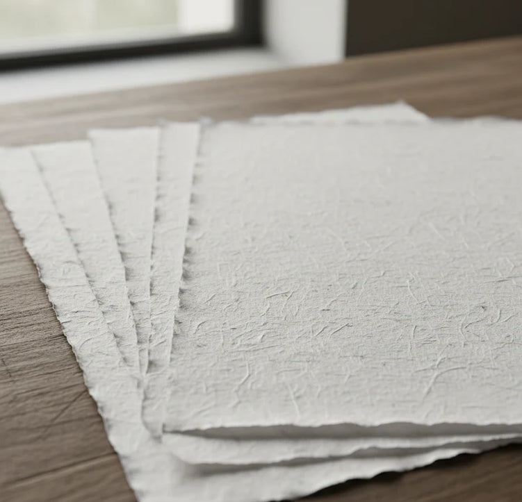
Our reproductions are faithful to the original and printed on precious Amalfi paper.
It is a paper made exclusively from cotton fibers, thick and naturally porous, yet soft to the touch, with characteristic deckled edges that attest to its artisanal craftsmanship.
It is still made today using ancient medieval techniques in the workshops of Amalfi.
Materials of sublime quality
-
 Amalfi Hand-made paper
Thick, porous, with characteristic deckled edges -
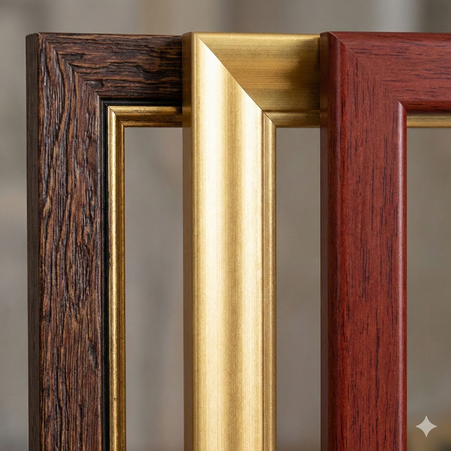
 Artisan frame
Made of precious wood, hand-assembled -
 Museum glass
The same ultra-clear glass used in museums
Unique quality material
Print on handmade Amalfi paper
Sheet size: 40 x 30 cm
With frame: 43 x 33 cm
Material: Artwork printed on very high quality handmade Amalfi paper with deckled edges
Frame: Light brown, made of beech wood and handmade wood pulp