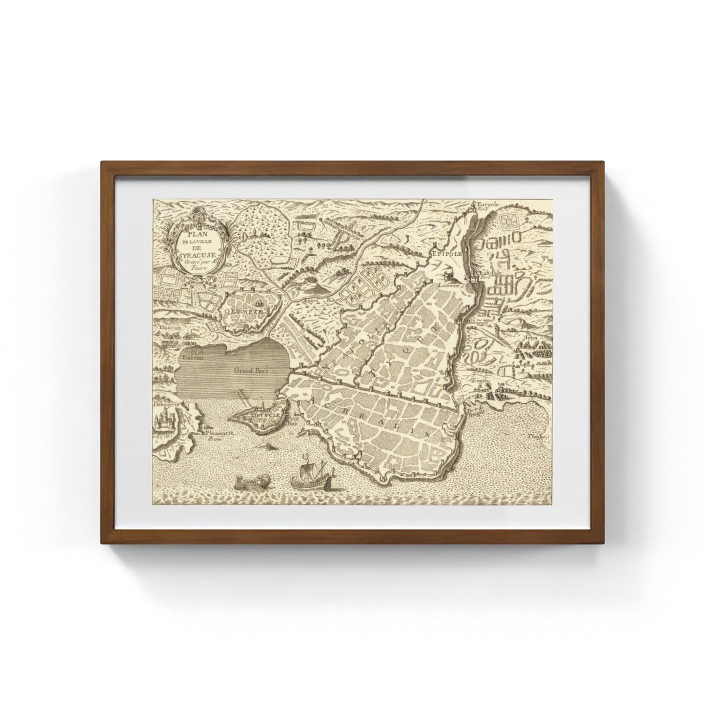
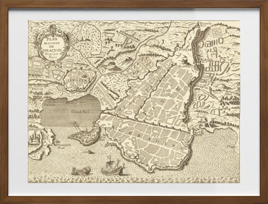
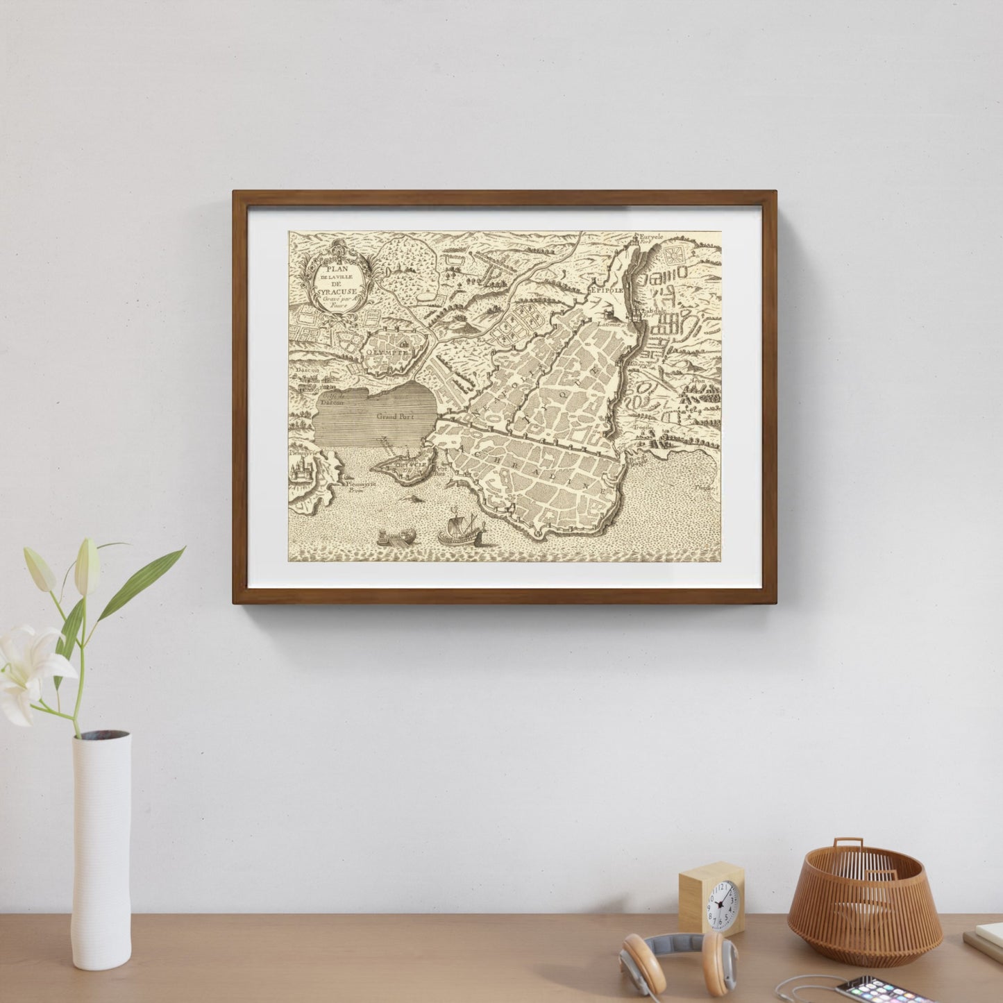
Plan de la Ville de Syracuse by Joannem Faure
Plan de la Ville de Syracuse by Joannem Faure
Couldn't load pickup availability
SKU:L7N1S3P8J5A9W
PAY IN THREE INSTALLMENTS WITH PAYPAL
This detailed plan of the ancient city of Syracuse, created by Joannem Faure in the 18th century, offers an accurate and historically significant representation of one of the most important cities in southeastern Sicily. The map illustrates the traditional urban layout of Syracuse, highlighting the main architectural structures, ancient walls, and the most relevant streets, belonging to both the classical and later periods. The work stands out for its combination of cartographic precision and historical-archaeological interest, reflecting an in-depth knowledge of the ancient city and a taste for the details typical of maps from that period.
Faure’s plan fits within a lively context of studies on ancient Syracuse during the 18th century, a time when the archaeological and historical evidence of this historic city was being reevaluated. Through this work, it is possible to trace not only the geography of the city but also the cultural and monumental heritage that Syracuse preserved, offering a precious tool for scholars and archaeology enthusiasts. Therefore this map represents a testimony to the rediscovery of classical antiquity in the Baroque period.
DO YOU WANT INFORMATION ON THE PRODUCT? WHATSAPP CHAT WITH A CONSULTANT
FEATURES
A framed print creates a visual impact worthy of an art gallery. The beveled mounting board around the image is made of genuine museum-quality cardboard: a framed photo is a decorative element for experts.
The special charm of a framed print also lies in its elegant, handmade frame. Each print is protected by crystal-clear acrylic glass.
Product Specifications:
Print: (260 g/m²) with a brilliant white gloss finish
Mounting board: White, 45° bevel cut
Size: 80 x 60 cm
Material: Acrylic glass and wooden frame


Scopri i pregiati materiali di Trizio Editore
Carta di Amalfi fatta a mano, cornice in legno di faggio e vetro museale. Guarda i particolari dei prodotti che renderanno la tua casa più elegante e preziosa.


