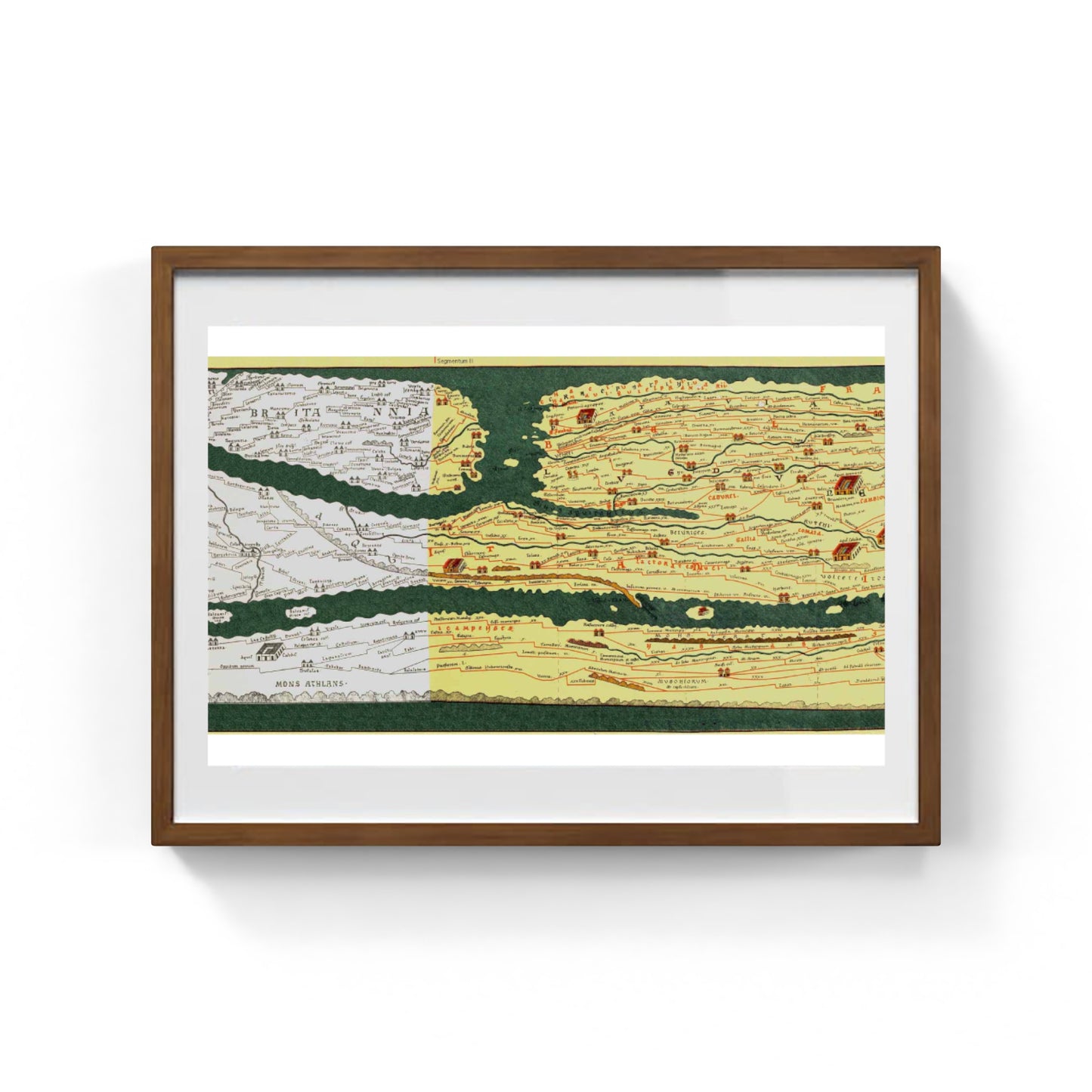
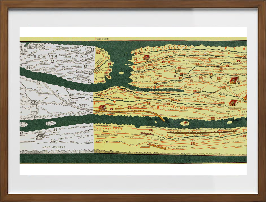
This section of the Peutinger Map, called Pars II: Lugdunum (Segments I, II), covers northwestern Gaul, representing cities such as Lugdunum (Lyon). It's marked with a large building, highlighting its role as the administrative capital of Gaul, an important commercial center, and a transport hub to Rome and the north and west of the Empire.
In the upper left corner, a stylized version of Britannia, ancient Great Britain, is depicted, along with the routes connecting the island province to the continent. Areas of today's Switzerland, Belgium, the Netherlands, and western Germany are also depicted. Rivers, including the Rhone, are illustrated.
Pars II (Lugdunum) of the Peutinger Table is therefore an extraordinary example of late antique cartography which, despite its unrealistic representation, allows us to understand how the Romans visualised and organised the known world, focusing above all on the road connections and the most important cities of their vast empire.
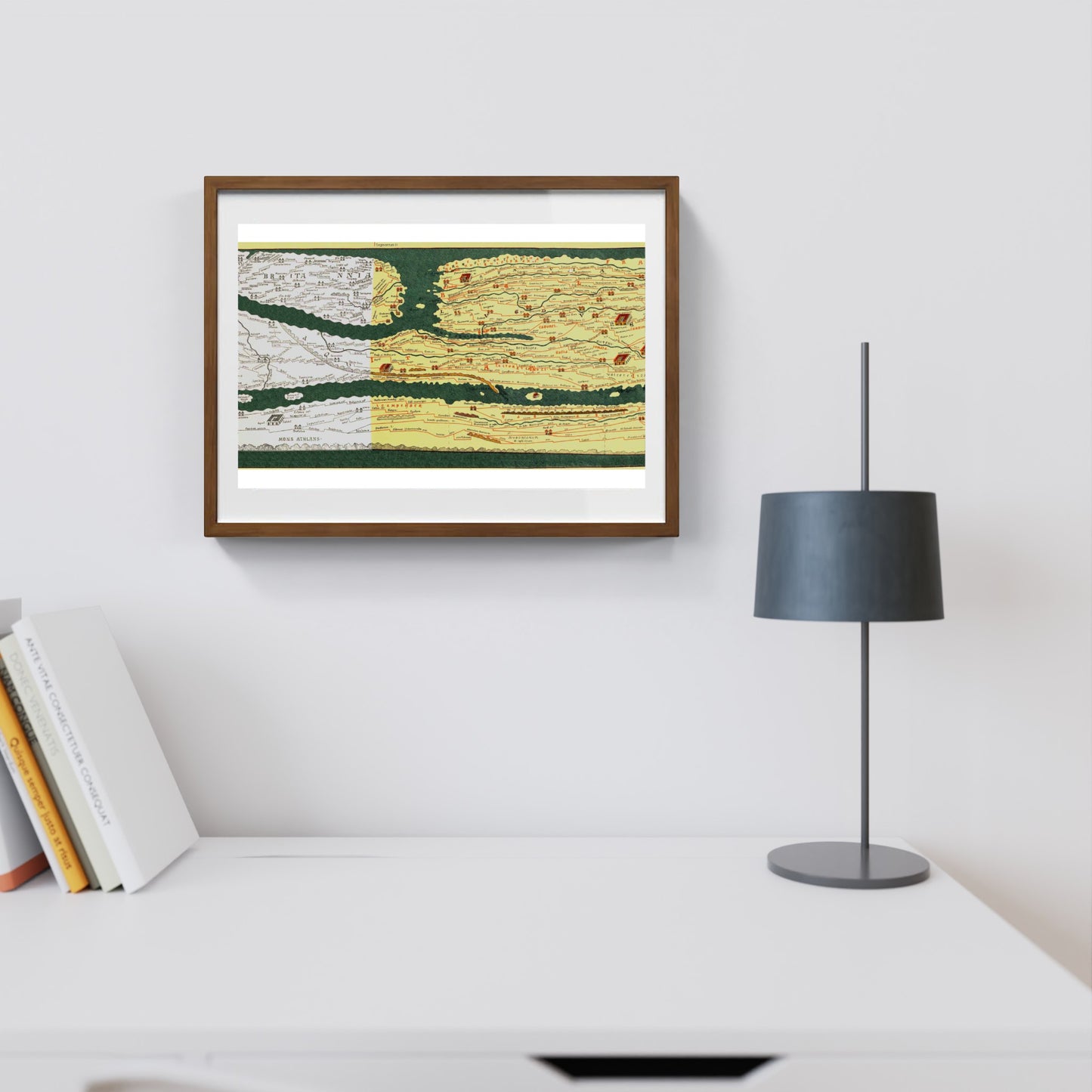
A framed print creates a visual impact worthy of an art gallery. The beveled mounting board around the image is made of genuine museum-quality cardboard: a decorative element for experts.
The special charm of a framed print also lies in its elegant, handmade frame. Each print is protected by crystal-clear acrylic glass.
Product Specifications: Print: (260 g/m²) with a brilliant white gloss finish Mounting board: White, 45° bevel cut Size: 60 x 40 cm Material: Acrylic glass and wooden frame
Carta di Amalfi fatta a mano, cornice in legno di faggio e vetro museale. Guarda i particolari dei prodotti che renderanno la tua casa più elegante e preziosa.