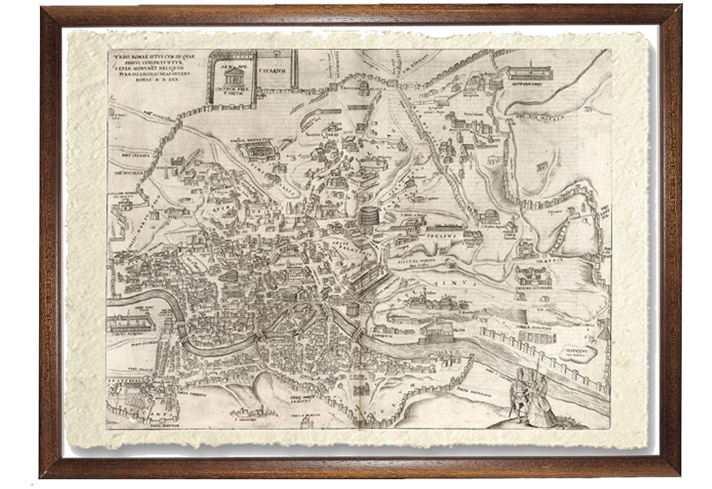
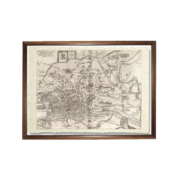
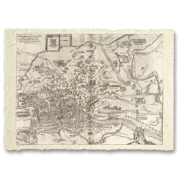
Map of Rome by Braun Georg 1541
Map of Rome by Braun Georg 1541
Couldn't load pickup availability
SKU:GWHLTX2D8EAR6
BUY ONLINE, INSURED TRACEABLE DELIVERY
Unique quality material
Print on handmade paper from Amalfi
Measurement : 29 x 42 cm
Material : work printed on very fine handmade Amalfi paper with fringed edges
Frame : Light brown in beech wood and handmade wood pulp
YOU WANT A CUSTOMIZED PRODUCT
OR INFORMATION? WRITE TO US
The work of reproduction
The Civitates Orbis Terrarum was the first atlas of the world's cities and one of the most important books published at the end of the 16th century. Although led by Braun and Hogenberg, the books were created by a large team of writers, printmakers, and artists.
Furthermore, the editors provided further factual information such as deliberately planned policies, such as the city's heraldic coat of arms, and the nature of the surrounding countryside, be it woodland or arable land, pastures, vineyards or gardens. The importance of waterways is emphasized by the careful delineation of stone bridges, wooden pontoons, flat-bottomed ferries, piers, piers and piers; ports with ocean-going vessels, inland waters with river traffic.
Varieties of land travel, pedestrians, knights, chariots, carriages and palanquins are depicted. Small cartoons illustrate the trades, occupations and habits of the place, agriculture, paper processing and textiles.
A distinctive feature of the plates is the inclusion of large figures in the foreground to illustrate local customs. These figures are necessarily disproportionate. The general multiplication of details slightly offends some commentators who fail to appreciate the editors' purpose. Their primary goal was not to produce well-balanced landscapes, but to provide as much information as possible in a pleasing visual form, actually a kind of super guide.
This was done so beautifully that the result was art that was as decorative as it was informative. The whole constitutes a splendid compendium of life in Europe in the 16th century. And since the growth of the city in the early times, with a few obvious exceptions, was more or less static, it also provides a printed visual record of medieval Europe, and is one of the most valuable sources remaining to the scholar and historian of these periods.
How reproductions are made


Scopri i pregiati materiali di Trizio Editore
Carta di Amalfi fatta a mano, cornice in legno di faggio e vetro museale. Guarda i particolari dei prodotti che renderanno la tua casa più elegante e preziosa.


