18th Century Map of Paris
18th Century Map of Paris
o una misura particolare? • Avvia chat WhatsApp
Couldn't load pickup availability
SKU:O1P3L9V6M5T7K4
Historical map of Paris from the late 19th century. It is a print.
The map illustrates Paris divided by the Seine, and organized into districts according to the urban plan then in force. The urbanized area, and thus the buildings, palaces, houses, etc., are depicted with a thick light red line. In the lower-left corner, there is a legend of the city. On the opposite side, the city's coat of arms is depicted.
Feel history at your fingertips
Our reproductions are faithful to the original and printed on precious Amalfi paper.
It is a paper made exclusively from cotton fibers, thick and naturally porous, yet soft to the touch, with characteristic deckled edges that attest to its artisanal craftsmanship.
It is still made today using ancient medieval techniques, in the workshops of Amalfi.
Materials of sublime quality
-
 Amalfi paper
Thick, porous, with typical deckled edges -
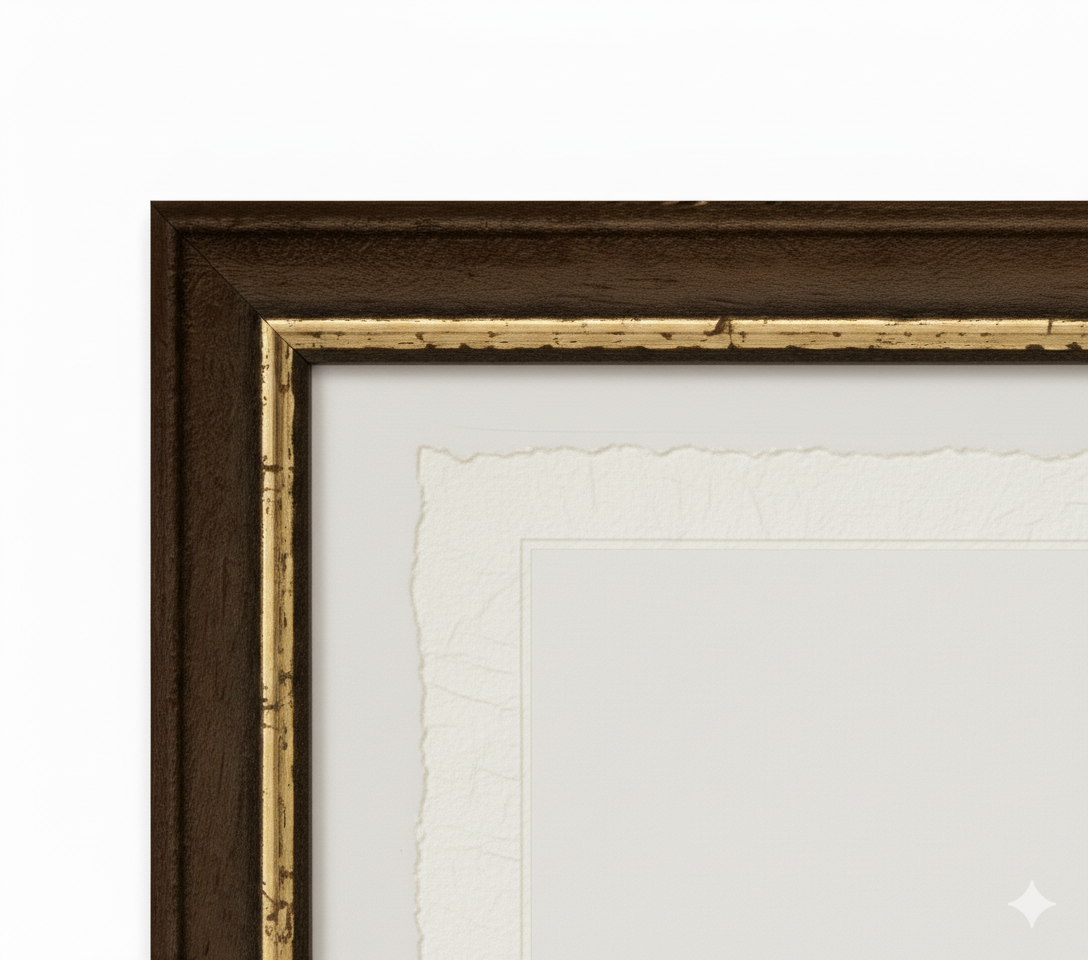
 Handcrafted frame
Made of fine wood, hand-assembled -
 Museum glass
The same ultra-clear glass used in museums
Unique quality material
Print on handmade Amalfi paper
Sheet size: 40 x 30 cm
With frame: 43 x 33 cm
Material: artwork printed on very high quality handmade Amalfi paper with deckled edges
Frame: Light brown handmade beech wood and wood pulp