Map of Berlin, 1871 - Leopold Kraatz
Map of Berlin, 1871 - Leopold Kraatz
o una misura particolare? • Avvia chat WhatsApp
Couldn't load pickup availability
SKU:P2V9M4K7L8T3W5
Historical map of Berlin from the late 19th century, created in 1871 by Leopold Kraatz. It is a colored engraving.
The map illustrates Berlin organized into districts according to the urban plan then in force. The urbanized areas, and thus the buildings, palaces, houses, etc., are depicted in dark brown. The map also highlights green areas and access roads to Berlin.
Leopold Kraatz was a German lithographer, engraver, and printer active in Berlin between the late 19th and early 20th centuries.
Feel history at your fingertips
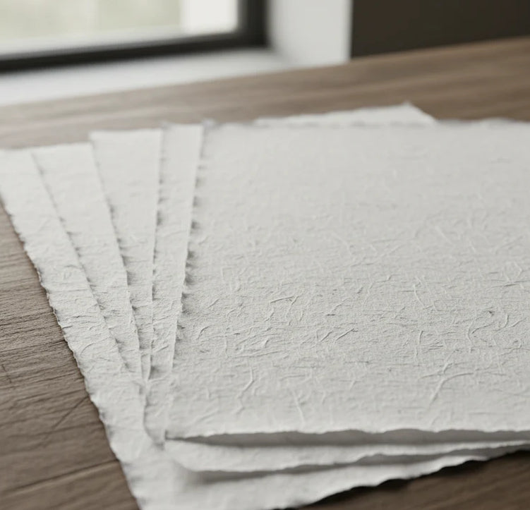
Our reproductions are faithful to the original and printed on fine Amalfi paper.
It is a paper made exclusively from cotton fibers, thick and naturally porous, yet soft to the touch, with characteristic deckled edges that attest to its artisanal craftsmanship.
It is still made today using ancient medieval techniques in the workshops of Amalfi.
Materials of sublime quality
-
 Amalfi Hand-made Paper
Thick, porous, with typical deckled edges -
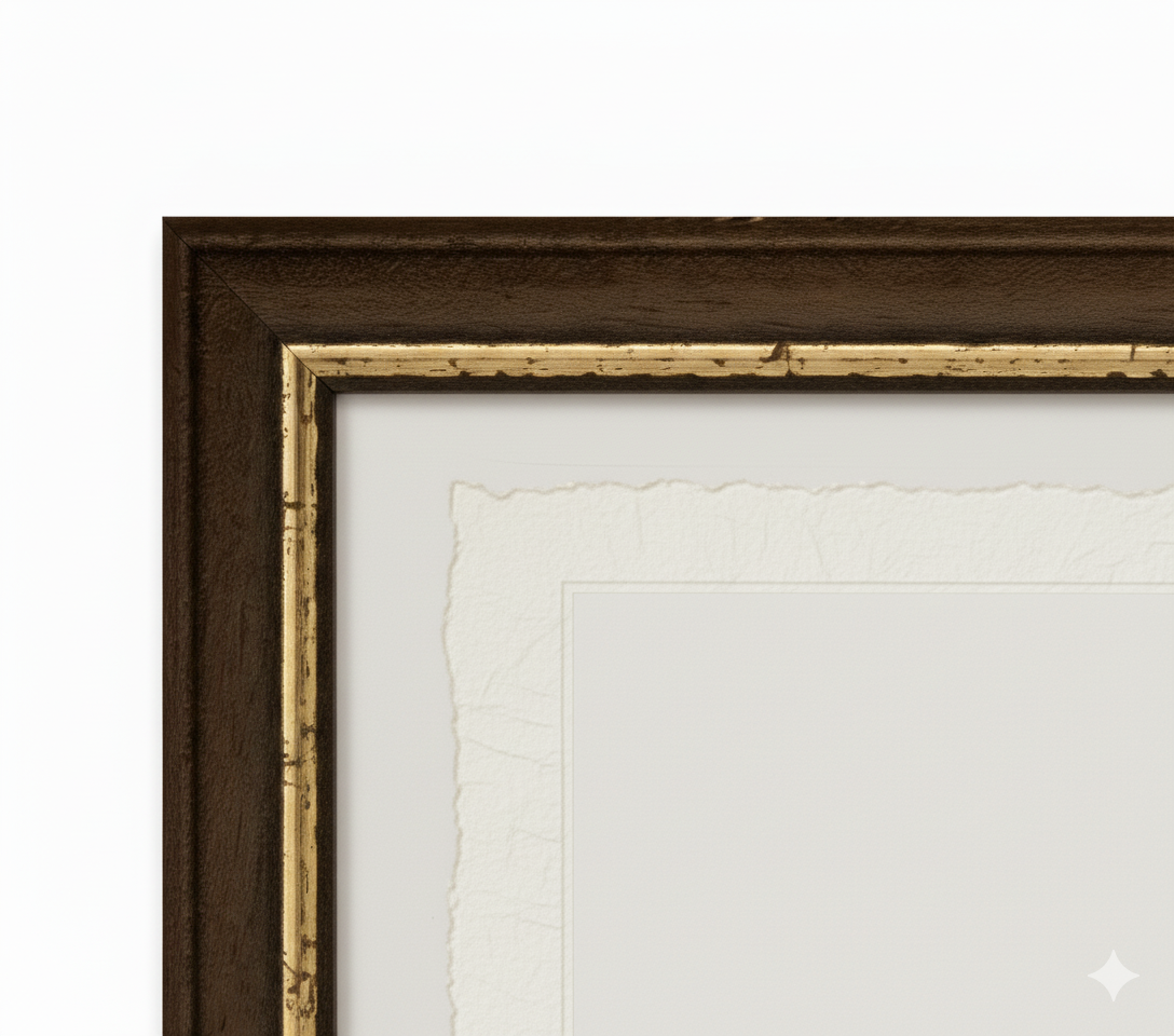
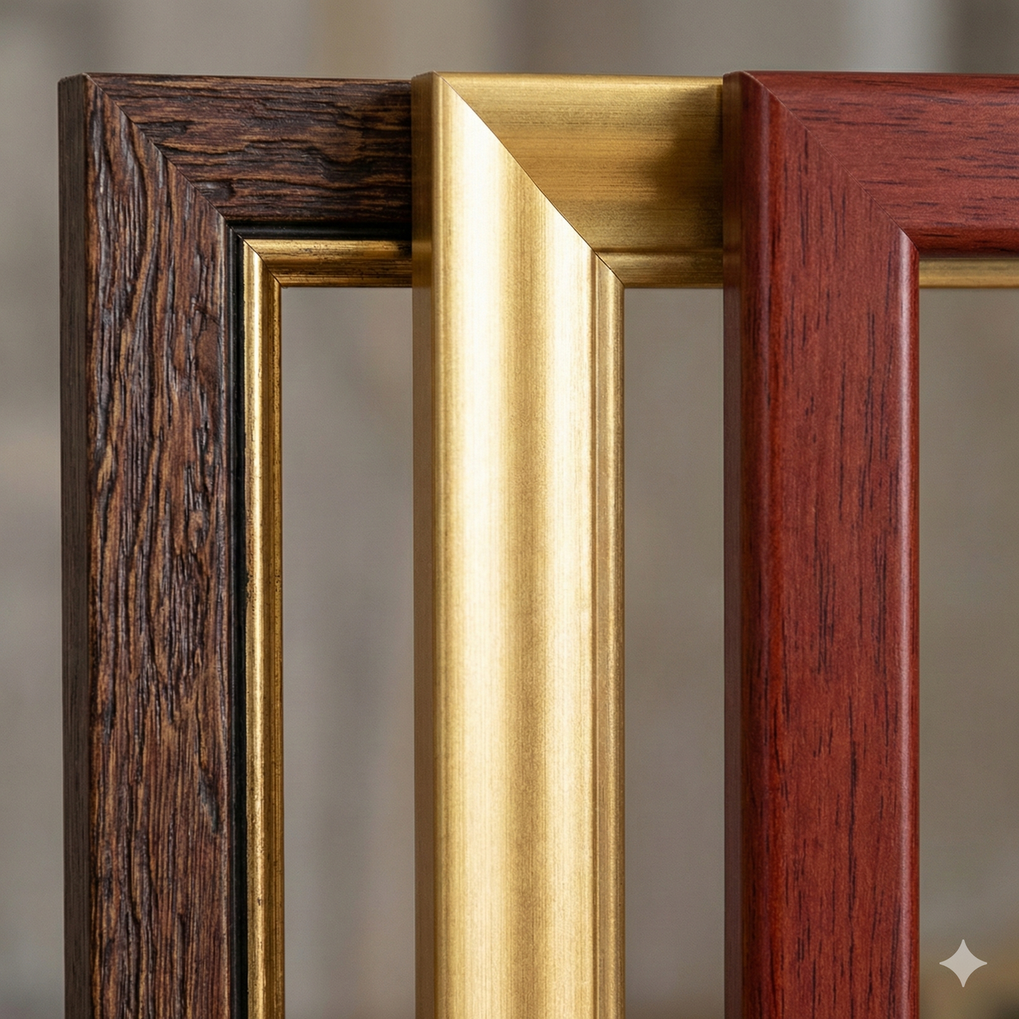
 Hand-made frame
Made of fine wood, hand-assembled -
 Museum-grade glass
The same ultra-clear glass used in museums
Unique quality material
Print on handmade Amalfi paper
Sheet size: 40 x 30 cm
With frame: 43 x 33 cm
Material: artwork printed on very fine handmade Amalfi paper with deckled edges
Frame: Light brown, made of beech wood and handmade wood pulp