Map of the island of Mallorca, 1785
Map of the island of Mallorca, 1785
o una misura particolare? • Avvia chat WhatsApp
Couldn't load pickup availability
SKU:R8M3V2L9K5T4P6
Historical map of the Island of Mallorca created around 1785.
The map shows the island of Mallorca, divided into its provinces. Along the outline, you can see the island's landing points. In the lower right corner there is a legend, while on the outside, along the perimeter of the map, there are photos of places on the island. This map was designed for tourists arriving on the island, allowing them to discover some itineraries.
Feel history at your fingertips
Our reproductions are faithful to the original and printed on fine Amalfi paper.
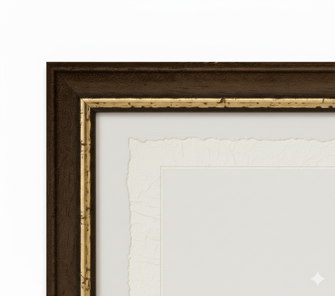
It is a paper made exclusively from cotton fibers, thick and naturally porous, yet soft to the touch, with characteristic frayed edges that attest to its artisanal craftsmanship.
It is still made today according to ancient medieval techniques, in the workshops of Amalfi.
Materials of sublime quality
-
 Amalfi Paper
Thick, porous, with typical frayed edges -
 Handcrafted Frame
Made of fine wood, hand-mounted -
 Museum Glass
The same ultra-clear glass used in museums
Unique quality material
Print on handmade Amalfi paper
Sheet size: 40 x 30 cm
With frame: 43 x 33 cm
Material: artwork printed on highly prized handmade Amalfi paper with frayed edges
Frame: Light brown, handmade beech wood and wood pulp