Map of the Roman Empire, 1675-76 - Nicolas Sanson D'Abbeville
Map of the Roman Empire, 1675-76 - Nicolas Sanson D'Abbeville
o una misura particolare? • Avvia chat WhatsApp
Couldn't load pickup availability
SKU:F4K6T7V3L5P9M8
Historical map of the Roman Empire created by Nicolas Sanson D'Abbeville. It is an engraving.
The map represents the extent of the Roman Empire in the second century AD. Territories in Europe and Africa are indicated. Modern-day England is also part of the empire. Note the very accurate outline of the Mediterranean Sea compared to today's.
In the upper left corner there is a Latin inscription dedicated to the Roman Empire.
Nicolas Sanson (Abbeville, December 20, 1600 – Paris, July 7, 1667) was a French cartographer, famous in the 17th century.
He studied at the Jesuit college in Amiens. A map of France he drew when he was only 18 years old attracted the attention of Cardinal Richelieu.
Feel history under your fingers
Our reproductions are faithful to the original and printed on precious Amalfi paper.
It is a paper made exclusively from cotton fibers, thick and naturally porous, yet soft to the touch, with characteristic deckled edges that testify to its handcrafted production.
It is still made today according to ancient medieval techniques, in the workshops of Amalfi.
Materials of sublime quality
-
 Amalfi Paper
Thick, porous, with typical deckled edges -
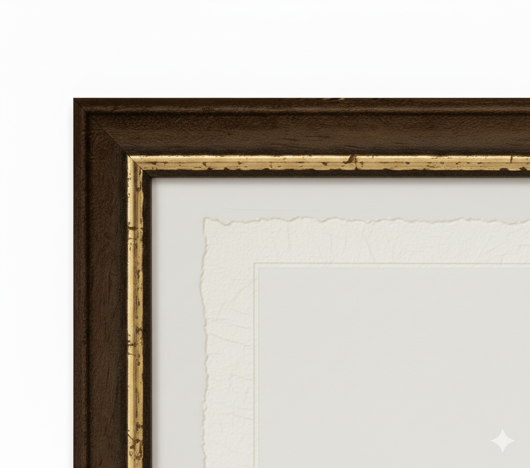
 Handcrafted frame
Made of precious wood, hand-assembled -
 Museum glass
The same ultra-clear glass used in museums
Unique quality material
Print on handmade Amalfi paper
Sheet size: 40 x 30 cm
With frame: 43 x 33 cm
Material: artwork printed on precious handmade Amalfi paper with deckled edges
Frame: Light brown, handmade beech wood and wood pulp