Map of Europe - Gerardus Mercator
Map of Europe - Gerardus Mercator
o una misura particolare? • Avvia chat WhatsApp
Couldn't load pickup availability
SKU:U4V7T5L8K9M3P1
Historical map of Europe created by Gerardus Mercator. It is a hand-colored engraving.
The map shows the states of Europe as they were in the mid-sixteenth century. The map lists the main cities of Europe at the time.
In the lower right corner of the map, there is a description enclosed within a coat of arms.
Gerardus Mercator, born Gerhard Kremer in Dutch, latinized as Gerardus Mercator (Rupelmonde, March 5, 1512 – Duisburg, December 2, 1594), was a Flemish mathematician, astronomer, and cartographer.
He is famous for his studies in cartography and for inventing a cartographic projection system known as the "Mercator projection."
Feel history at your fingertips
Our reproductions are faithful to the original and printed on fine Amalfi paper.
It is a paper made exclusively from cotton fibers, thick and naturally porous, yet soft to the touch, with characteristic deckled edges that attest to its artisanal craftsmanship.
It is still made today according to ancient medieval techniques in the workshops of Amalfi.
Materials of sublime quality
-
 Amalfi Handcrafted Paper
Thick, porous, with typical deckled edges -
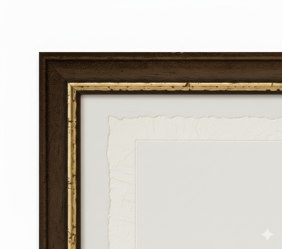
 Handcrafted Frame
Made from fine wood, hand-assembled -
 Museum Glass
The same ultra-clear glass used in museums
Unique quality material
Print on Amalfi handmade paper
Sheet size: 40 x 30 cm
With frame: 43 x 33 cm
Material: artwork printed on very fine Amalfi handmade paper with deckled edges
Frame: Light brown, made of handcrafted beech wood and wood paste