Map of Ancient Egypt - by Abraham Ortelius
Map of Ancient Egypt - by Abraham Ortelius
o una misura particolare? • Avvia chat WhatsApp
Couldn't load pickup availability
SKU:G6P1V5L7M4T3K9
Historical map of ancient Egypt created by Abraham Ortelius. It is a hand-colored engraving.
The map depicts ancient Egypt in the early 17th century, with clear physical features such as the Nile and mountain ranges. It shows the division between Lower and Upper Egypt, referencing the Nile River. The map indicates the cities of the time. In the upper part of the map, there are inscriptions and a detail of another map highlighting the mouth of the Nile.
Abraham Ortelius (Latinized as: Abrahamus Ortelius or Orthellius, from the Flemish Abraham Oertel, Ortels or Hortels) (Antwerp, April 14, 1527 – Antwerp, June 28, 1598) was a Flemish cartographer and geographer. Ortelius, along with Mercator, was the great founder of Flemish cartography and is remembered for publishing the first modern atlas.
Feel history under your fingertips
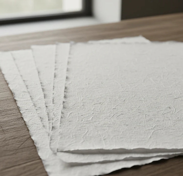
Our reproductions are extremely faithful to the original and printed on precious Amalfi paper.
It is a paper made exclusively from cotton fibers, thick and naturally porous, yet soft to the touch, with characteristic deckled edges that attest to its artisanal craftsmanship.
It is still made today using ancient medieval techniques, in the workshops of Amalfi.
Sublime quality materials
-
 Amalfi Paper
Thick, porous, with typical deckled edges -
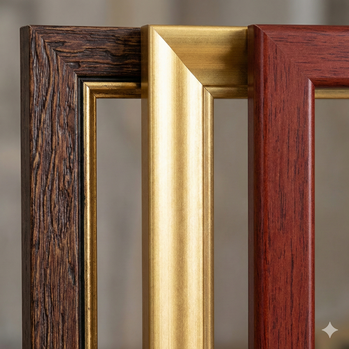
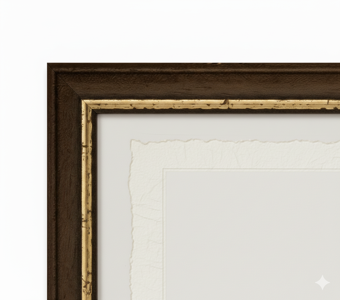
 Handcrafted Frame
Made of fine wood, hand-assembled -
 Museum Glass
The same ultra-clear glass used in museums
Unique quality material
Print on handmade Amalfi paper
Sheet size: 40 x 30 cm
With frame: 43 x 33 cm
Material: artwork printed on very precious handmade Amalfi paper with deckled edges
Frame: Light brown, handmade from beech wood and wood pulp