Catalan Atlas of North Africa 1381 - Abraham Cresques
Catalan Atlas of North Africa 1381 - Abraham Cresques
o una misura particolare? • Avvia chat WhatsApp
Couldn't load pickup availability
SKU:Z2P8L1V3M7T6K5
Catalan map of North Africa created around 1381 by Abraham Cresques.
The map represents the northern part of Africa, with the main internal routes followed by Bedouins in their trade. Along the entire African coast, landing places for boats are indicated. Inside the map, there are inscriptions and indications of major cities.
Abraham Cresques (Palma de Mallorca, ... – 1387) was a Spanish cartographer, the most important of the 14th century.
His expertise was so refined that he held the official position of "master of maps and compasses" under Prince John of Aragon.
Feel history at your fingertips
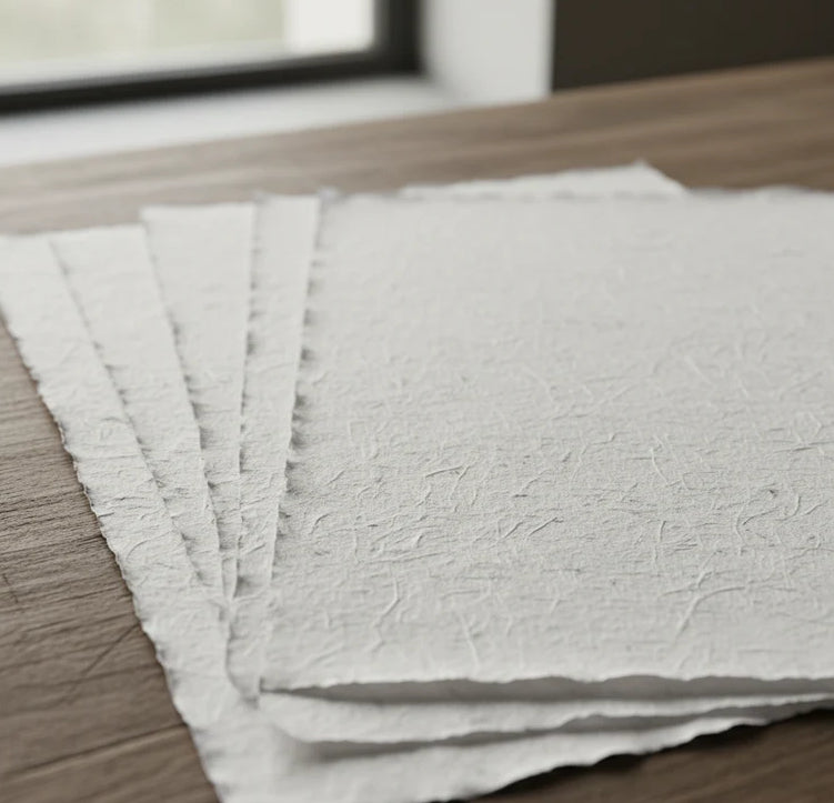
Our reproductions are faithful to the original and printed on precious Amalfi paper.
It is a paper made exclusively from cotton fibers, thick and naturally porous, yet soft to the touch, with the characteristic deckled edges that attest to its artisanal craftsmanship.
It is still made today according to ancient medieval techniques in the workshops of Amalfi.
Sublime quality materials
-
 Amalfi Paper
Thick, porous, with typical deckled edges -
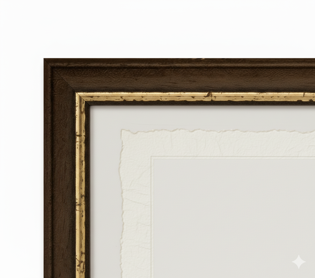
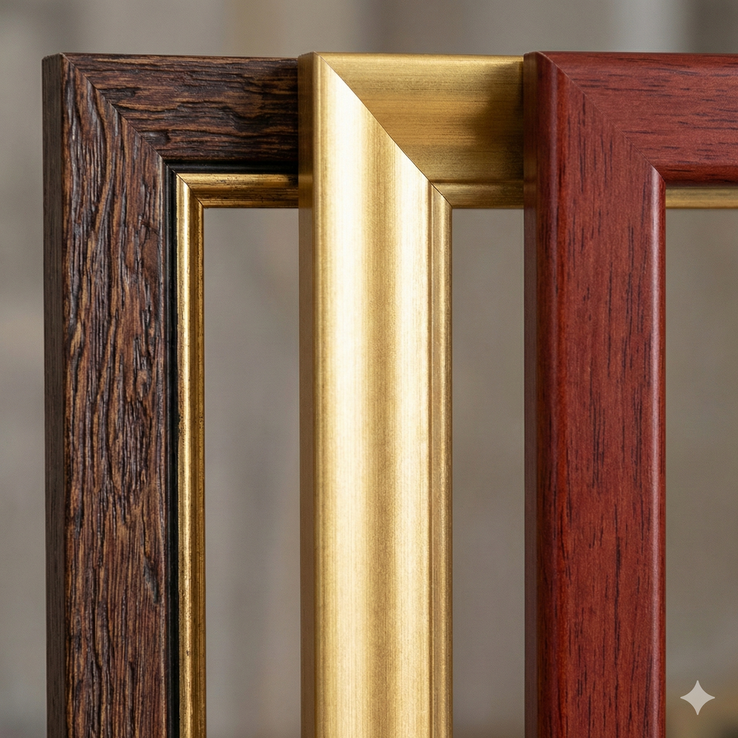
 Handcrafted Frame
Made of precious wood, hand-assembled -
 Museum Glass
The same ultra-clear glass used in museums
Unique quality material
Printed on handmade Amalfi paper
Sheet size: 40 x 30 cm
With frame: 43 x 33 cm
Material: artwork printed on highly prized handmade Amalfi paper with deckled edges
Frame: Light brown, made of beech wood and handmade wood pulp