This map of the Riviera di Levante, made by Giovanni Antonio Magini, depicts in great detail the eastern Ligurian coast from Genoa to the Gulf of La Spezia, including the Cinque Terre and numerous coastal and inland towns. Printed in 1620 from the first plate of his atlas, it shows an accurate depiction of the Apennine relief, villages and fortifications, with clearly legible place names and two calligraphic panels decorating the Ligurian Sea.
Magini, a mathematician and astronomer from Bologna, undertook the creation of the first atlas devoted entirely to Italy in 1594. For years he gathered local information and obtained support from various Italian courts, including the Duke of Mantua. The work took decades, and only after his death was it completed by his son Fabio, who oversaw its publication in 1620 under the title Italia.
Magini's atlas, made up of sixty copper-engraved plates, marked a turning point in Italian cartography, surpassing earlier models and offering a systematic and detailed depiction of the peninsula. It was a reference work for later cartographers such as Hondius and Blaeu, and retained its cartographic authority for much of the 17th century.
Unique quality material
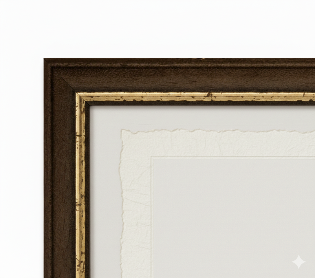
Print on handmade Amalfi paper Sheet size: 29 x 42 cm (11.4 x 16.5 in) With frame: 31 x 44 cm (12.2 x 17.3 in) Material: artwork printed on very fine handmade Amalfi paper with deckled edges Frame: light brown beech wood and wood pulp, handmade
How an Amalfi art print is made, what the frame is like, what museum glass is, how long shipping takes, and how returns work: we’ve gathered all the answers on a single page.