Map of the ancient city of Oristano by William Heather
Map of the ancient city of Oristano by William Heather
o una misura particolare? • Avvia chat WhatsApp
Couldn't load pickup availability
SKU:P8K2N7R4L3B9J
William Heather (1764-1812) was a British engraver and publisher specializing in nautical charts, active between the late 18th and early 19th centuries. He began his activity in 1793 and distinguished himself by creating detailed and precise maritime charts, fundamental for navigation at the time. Heather also ran a shop that sold charts along with nautical and mathematical instruments, catering to sailors, captains, and maritime professionals.
His antique map of Oristano depicts the coastal geography and ports of the Oristano area, in Sardinia, with particular attention to details useful for navigation. Heather's nautical charts are highly valued today for their historical importance, the artistic quality of their engravings, and their technical accuracy, providing a valuable insight into marine cartographic techniques of the early 19th century.
Feel history at your fingertips
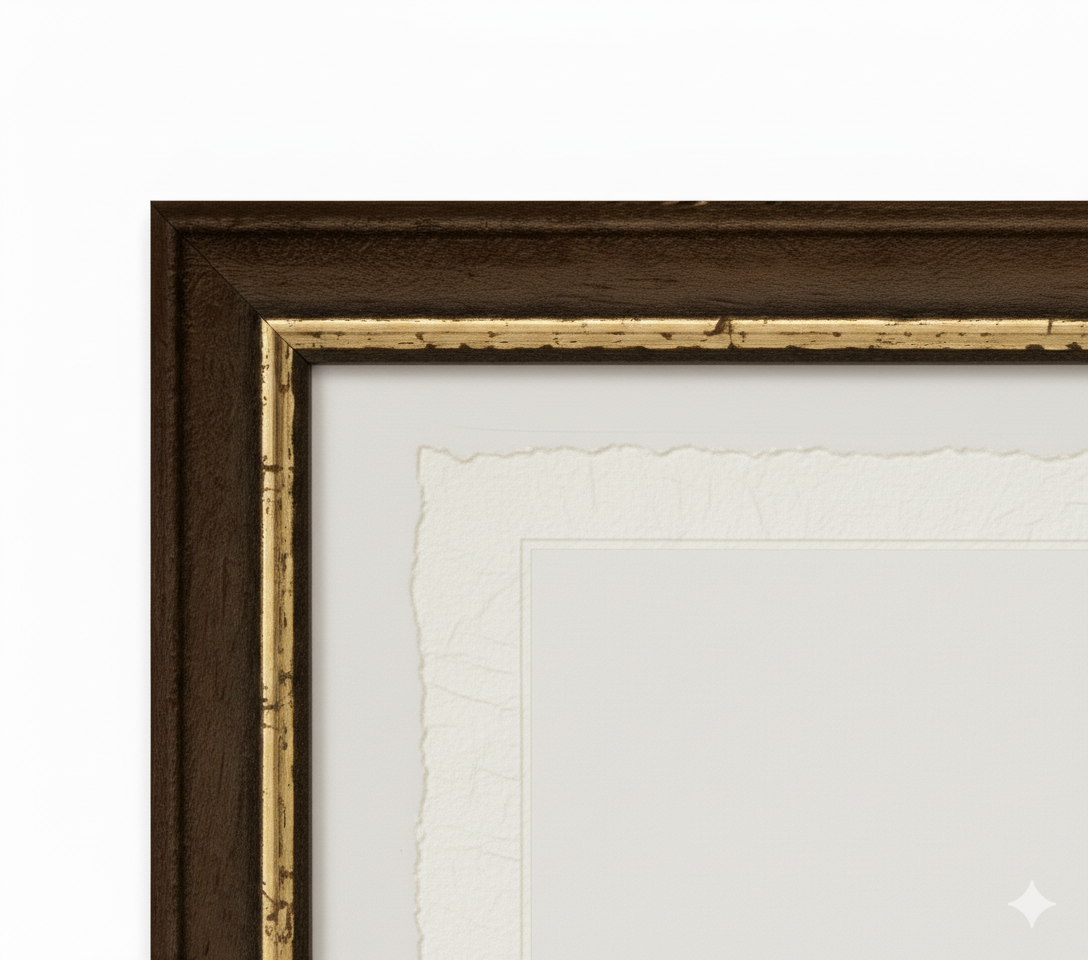
Our reproductions are faithful to the original and printed on fine Amalfi paper.
It is a paper made exclusively from cotton fibers, thick and naturally porous, yet soft to the touch, with characteristic deckled edges that bear witness to its artisanal craftsmanship.
It is still made today according to ancient medieval techniques, in the workshops of Amalfi.
Materials of sublime quality
-
 Amalfi paper
Thick, porous, with characteristic deckled edges -
 Handmade frame
Made of fine wood, hand-assembled -
 Museum glass
The same ultra-clear glass used in museums
Unique quality material
Print on handmade Amalfi paper
Sheet size: 40 x 30 cm
With frame: 43 x 33 cm
Material: artwork printed on very fine handmade Amalfi paper with deckled edges
Frame: Light brown, handmade from beech wood and wood pulp