This splendid map of Lazio, first published in 1693 by Giacomo Giovanni Rossi and drawn by Giacomo Filippo Ameti, depicts in extraordinary detail the territory between Rome and Circeo. The decorative cartouche at the top left, with allegories of the Tiber and the city of Rome, embellishes the work. The map was produced under the supervision of the mathematician Francesco Eschinardi, based on Innocenzo Mattei's work of 1666 updated in the coastal areas, and dedicated to Cardinal Pietro Ottoboni.
Giovanni Rossi, heir to the famous printing house founded by his father Giuseppe de Rossi, made a significant contribution to Baroque cartography, working with important geographers such as Giacomo Cantelli da Vignola. His printing house, which became one of the most prestigious in Rome, also published works based on those of Nicolas Sanson. Rossi's legacy lives on today through the Calcografia Nazionale, which holds one of the most important collections of prints and printing plates in the world.
Unique quality material
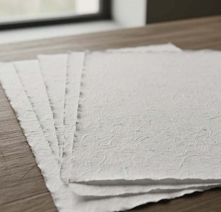
Print on handmade Amalfi paper Sheet size: 29 x 42 cm (11.4 x 16.5 in) With frame: 31 x 44 cm (12.2 x 17.3 in) Material: artwork printed on very fine handmade Amalfi paper with deckled edges Frame: light brown beech wood and wood pulp, handmade
How an Amalfi art print is made, what the frame is like, what museum glass is, how long shipping takes, and how returns work: we’ve gathered all the answers on a single page.