Map of medieval Abruzzo by Barent Langenes
Map of medieval Abruzzo by Barent Langenes
o una misura particolare? • Avvia chat WhatsApp
Couldn't load pickup availability
SKU:Q9E6W2Z8A3L7N
This splendid map of the Abruzzi, in its initial state, by Barent Langenes, first appeared in the 1598 edition of the atlas Caert-Thresoor, published in Middelburg. It was subsequently republished by Petrus Bertius in his Tabularum Geographicarum, starting from 1600.
This small but detailed engraving represents one of the earliest geographical depictions of Abruzzo at a time when the region was still an integral part of the Kingdom of Naples. Despite its compact size, the map reflects the accuracy and editorial ambition of Langenes' collections, intended for an educated and curious audience. The presence of main place names, rivers, and stylized relief offers a visual insight into the organization of the Abruzzo territory at the end of the 16th century, making it a valuable document for the history of Italian cartography.
Feel history at your fingertips
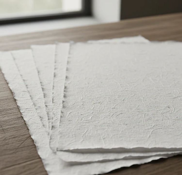
Our reproductions are faithful to the original and printed on fine Amalfi paper.
It is a paper made exclusively from cotton fibers, thick and naturally porous, yet soft to the touch, with the characteristic deckled edges that attest to its artisanal craftsmanship.
It is still made today according to ancient medieval techniques, in the workshops of Amalfi.
Materials of sublime quality
-
 Amalfi handcrafted paper
Thick, porous, with typical deckled edges -
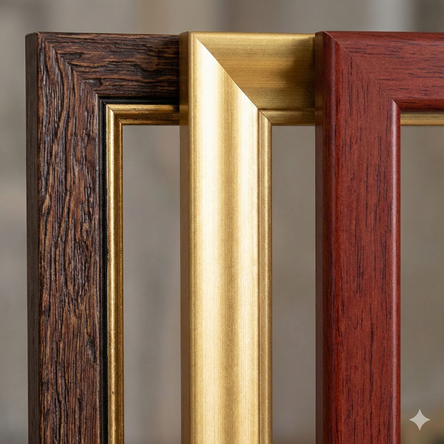
 Handcrafted frame
Made of fine wood, hand-assembled -
 Museum glass
The same ultra-clear glass used in museums
Unique quality material
Print on handmade Amalfi paper
Sheet size: 40 x 30 cm
With frame: 43 x 33 cm
Material: artwork printed on very fine handmade Amalfi paper with deckled edges
Frame: Light brown, handmade beech wood and wood pulp