Map of the Duchy of Milan by Jan Jansson
Map of the Duchy of Milan by Jan Jansson
o una misura particolare? • Avvia chat WhatsApp
Couldn't load pickup availability
SKU:F1K8R4X2J9S6T
This detailed map of the Duchy of Milan, engraved and published by Jan Jansson in the 17th century, offers an extraordinarily accurate representation of the heart of Lombardy during Spanish rule. The geographic and political center is Milan, from which roads, rivers, and borders radiate, outlining the administrative and military structure of the duchy. The map extends from the Po River in the south to the areas of Como and Bergamo in the north, highlighting the strategic importance of the region.
Jan Jansson (1588–1664), one of the most important Dutch cartographers of his time, inherited and expanded the publishing tradition of the Hondius family, contributing to the publication of one of the largest atlases of the Baroque era, the Atlas Novus. His map of the Duchy of Milan reflects the high technical and artistic level achieved by Dutch cartography, with clear engravings, legible place names, and ornamental decorations typical of the period.
This map of great geographic value is also a historical and cultural document that provides a vivid image of a region at the center of 17th-century European political tensions. A work of great fascination for collectors, scholars, and lovers of Italian history.
Feel history at your fingertips
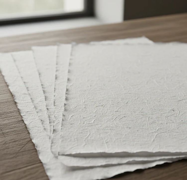
Our reproductions are faithful to the original and printed on precious Amalfi paper.
It is a paper made exclusively from cotton fibers, thick and naturally porous, yet soft to the touch, with characteristic deckled edges that attest to its artisanal craftsmanship.
It is still made today according to ancient medieval techniques, in the workshops of Amalfi.
Materials of sublime quality
-
 Amalfi Paper
Thick, porous, with characteristic deckled edges -
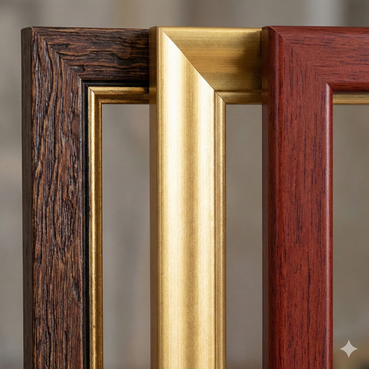
 Handmade frame
Made of precious wood, hand-assembled -
 Museum glass
The same ultra-clear glass used in museums
Unique quality material
Print on handmade Amalfi paper
Sheet size: 40 x 30 cm
With frame: 43 x 33 cm
Material: work printed on very precious handmade Amalfi paper with deckled edges
Frame: Light brown, made of beech wood and handmade wood paste