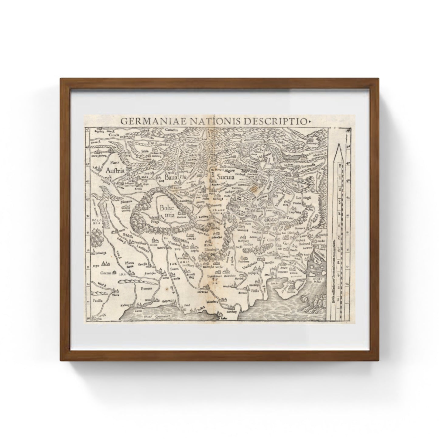
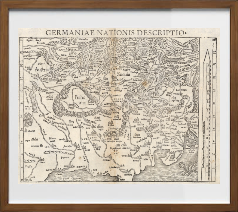
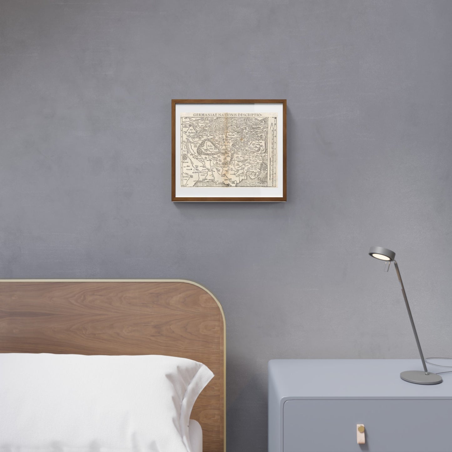
Important woodcut map of the Holy Roman Empire by Sebastian Münster
Important woodcut map of the Holy Roman Empire by Sebastian Münster
Couldn't load pickup availability
SKU:Z1L8D3N7P6F2W
PAY IN THREE INSTALLMENTS WITH PAYPAL
The woodcut map of the Holy Roman Empire by Sebastian Münster is an important cartographic testimony of the 16th century, depicting in great detail the vast territory that included Germany, the Netherlands, Switzerland, Austria, and Bohemia (modern-day Czech Republic). Characterized by an unusual orientation with the south placed at the top of the page, the map offers an original yet precise view of the political and geographical structure of one of the main European empires of the time. Created using the woodcut technique, it combines scientific rigor and artistic quality, representing borders, major cities, and key landscape features essential for understanding the historical and territorial framework of the Renaissance.
The work embodies the Renaissance aim of knowing and representing the world with accuracy and beauty, thus serving as an emblematic example of how art and science were intertwined in the historical maps of the era. Owning this map means engaging with a fundamental piece of European history and its cartographic representation.
DO YOU WANT INFORMATION ON THE PRODUCT? WHATSAPP CHAT WITH A CONSULTANT
FEATURES
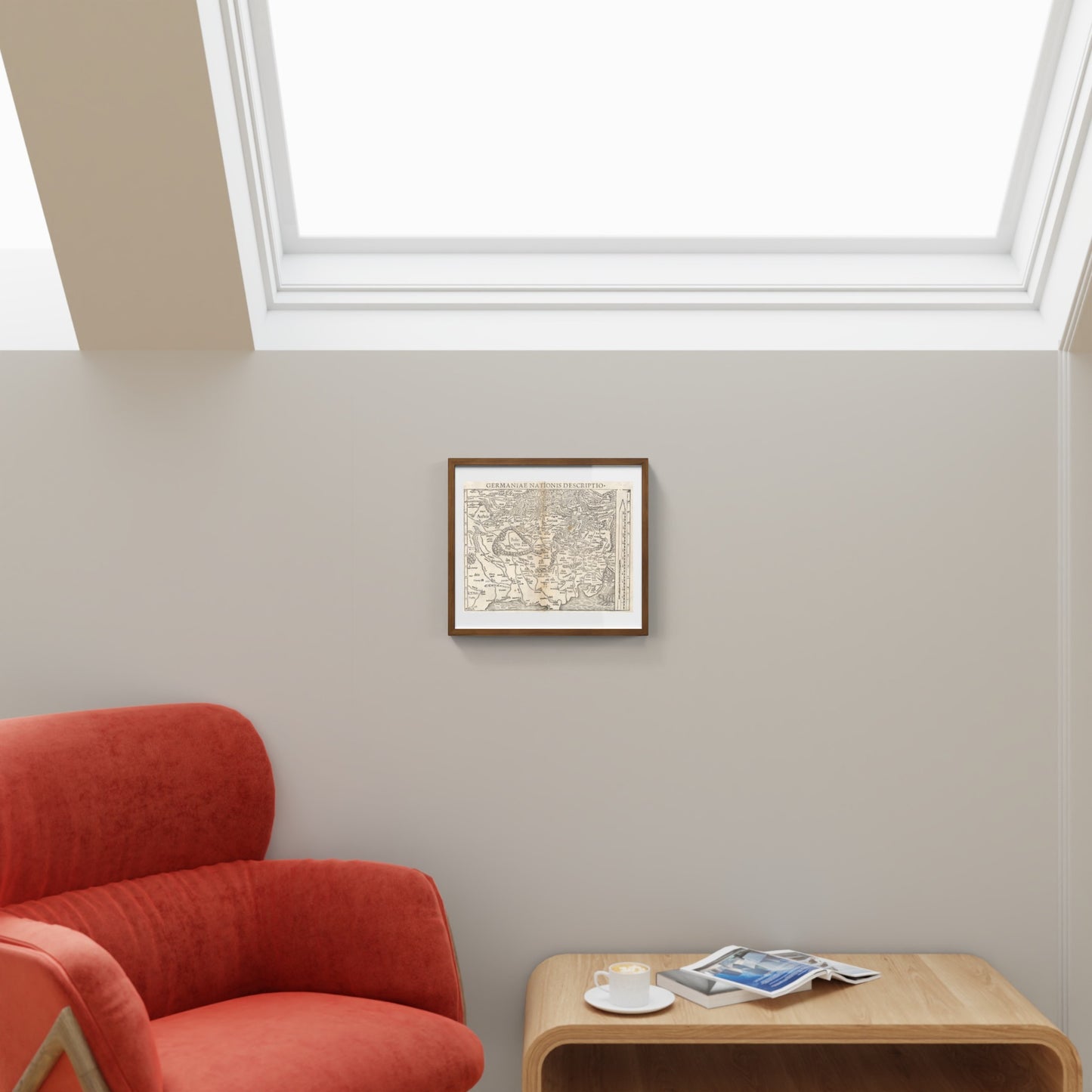
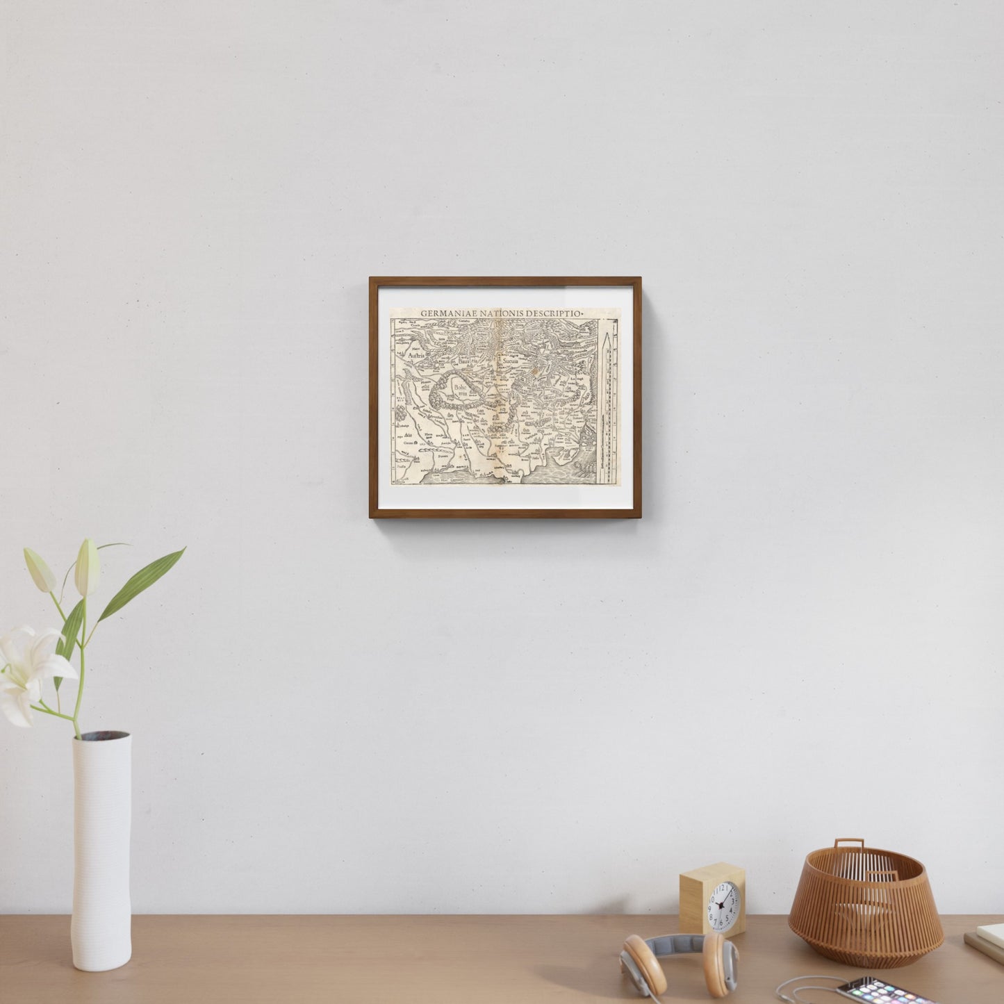
A framed print creates a visual impact worthy of an art gallery. The beveled mounting board around the image is made of genuine museum-quality cardboard: a framed photo is a decorative element for experts.
The special charm of a framed print also lies in its elegant, handmade frame. Each print is protected by crystal-clear acrylic glass.
Product Specifications:
Print: (260 g/m²) with a brilliant white gloss finish
Mounting board: White, 45° bevel cut
Size: 40 x 40 cm
Material: Acrylic glass and wooden frame
Scopri i pregiati materiali di Trizio Editore
Carta di Amalfi fatta a mano, cornice in legno di faggio e vetro museale. Guarda i particolari dei prodotti che renderanno la tua casa più elegante e preziosa.


