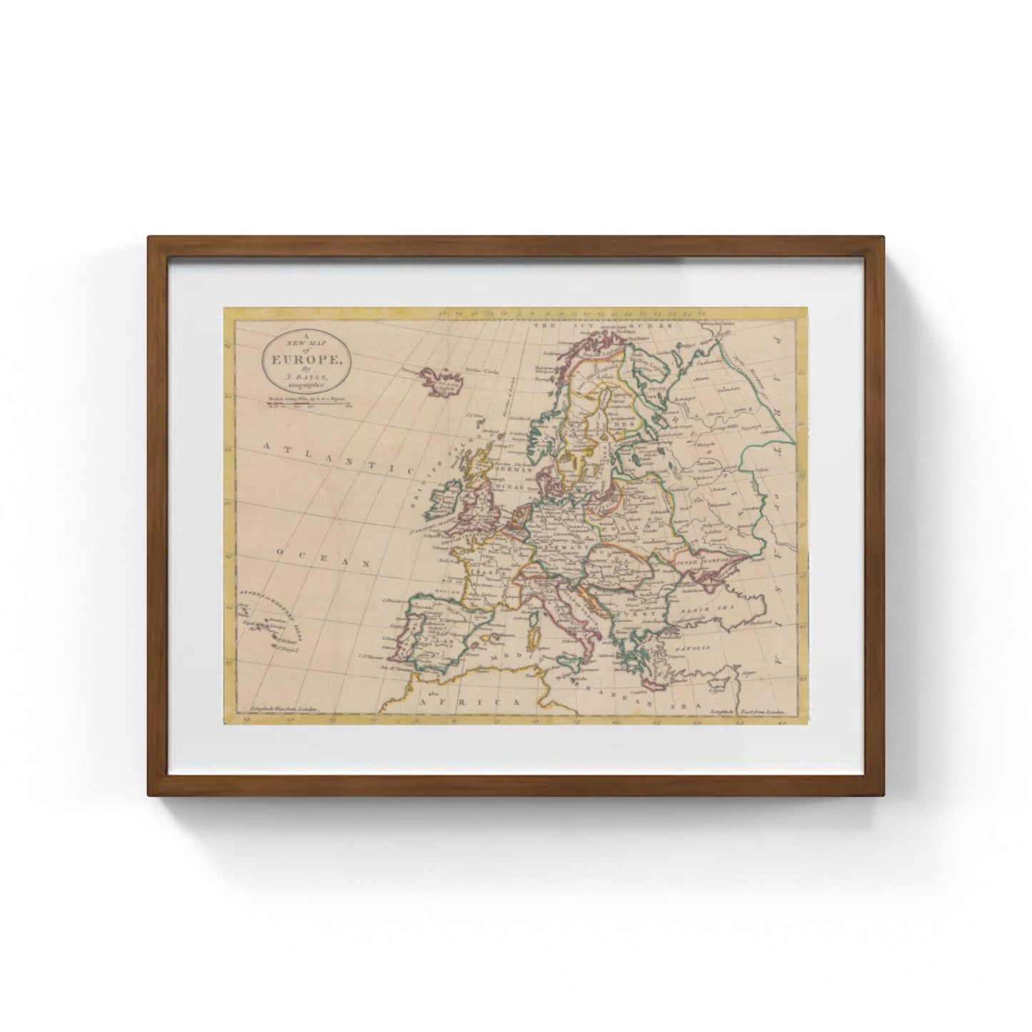
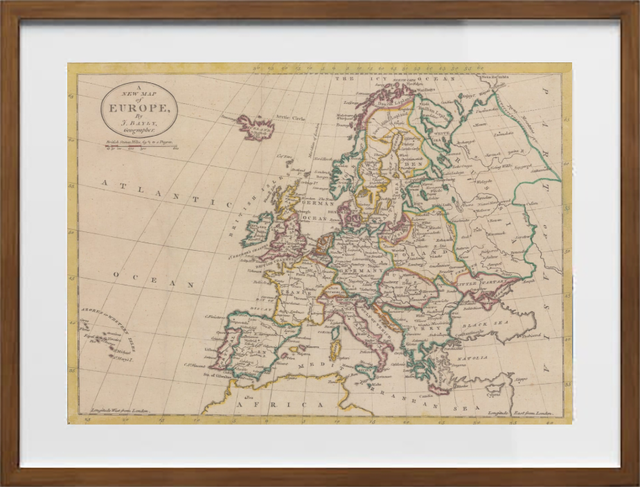
Europe prior to the Napoleonic Wars by John Harrison
Europe prior to the Napoleonic Wars by John Harrison
Couldn't load pickup availability
SKU:E1N7L9T6S4M2P
PAY IN THREE INSTALLMENTS WITH PAYPAL
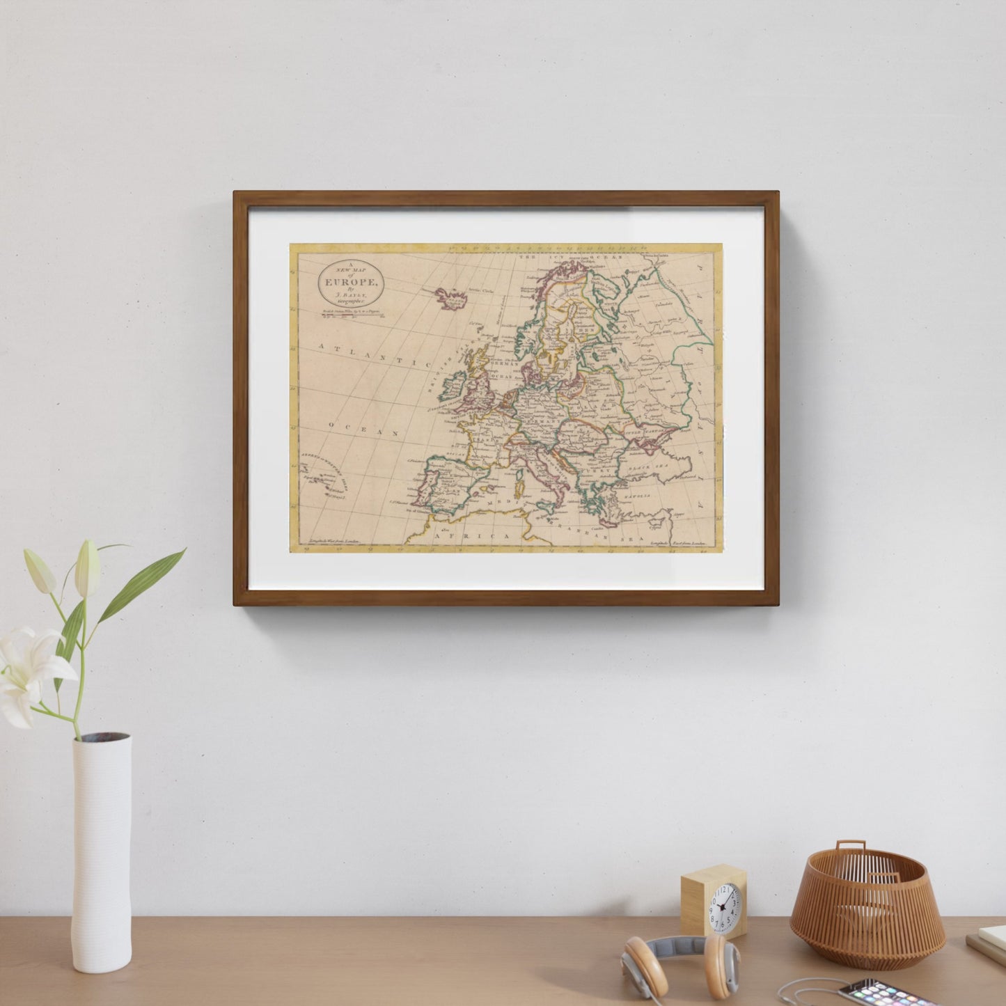
The map "Europe prior to the Napoleonic Wars" by John Harrison is a refined example of historical cartography, precisely depicting the political landscape of the continent at the dawn of the 19th century. The elegant composition, enriched with colored details, represents the borders that separated kingdoms, principalities, and empires before the tumultuous period of the Napoleonic Wars. Each boundary reflects the geopolitical balance of a diverse Europe, where the multitude of states encompasses the cultural and political complexity of a bygone era. The major cities of the time are clearly marked, allowing one to follow with the eye the key centers of European history, from London to Vienna, Paris to Saint Petersburg.
This carefully colored map not only guides the viewer through the continent’s past geography but also highlights the radical transformation Europe would undergo with the Napoleonic campaigns and the subsequent territorial redistribution. Its graphic refinement and detail accuracy make it an ideal object for history enthusiasts and educators wishing to deepen their understanding of the Old Continent before the great modern revolutions.
DO YOU WANT INFORMATION ON THE PRODUCT? WHATSAPP CHAT WITH A CONSULTANT
FEATURES
A framed print creates a visual impact worthy of an art gallery. The beveled mounting board around the image is made of genuine museum-quality cardboard: a framed photo is a decorative element for experts.
The special charm of a framed print also lies in its elegant, handmade frame. Each print is protected by crystal-clear acrylic glass.
Product Specifications:
Print: (260 g/m²) with a brilliant white gloss finish
Mounting board: White, 45° bevel cut
Size: 80 x 60 cm
Material: Acrylic glass and wooden frame


Scopri i pregiati materiali di Trizio Editore
Carta di Amalfi fatta a mano, cornice in legno di faggio e vetro museale. Guarda i particolari dei prodotti che renderanno la tua casa più elegante e preziosa.


