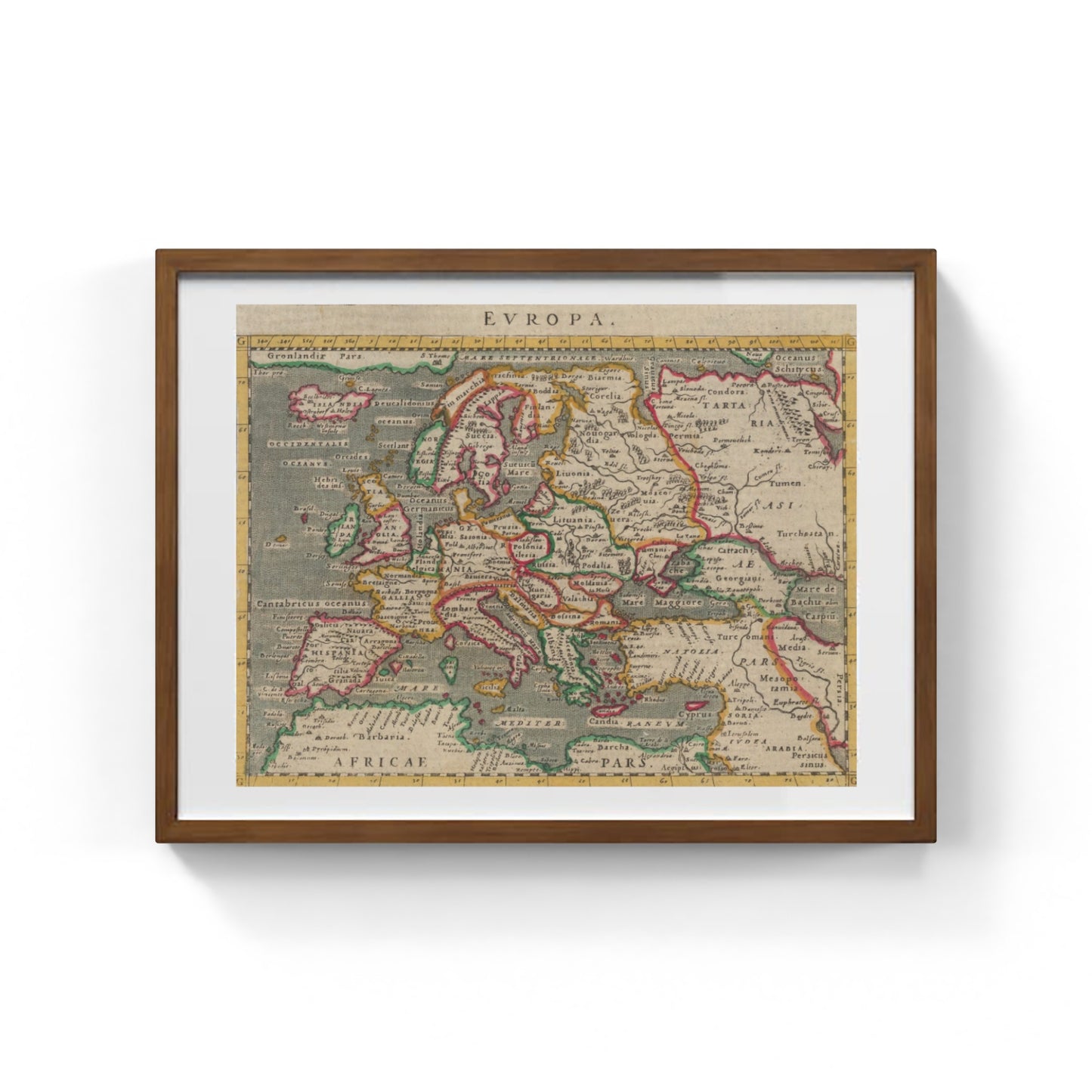
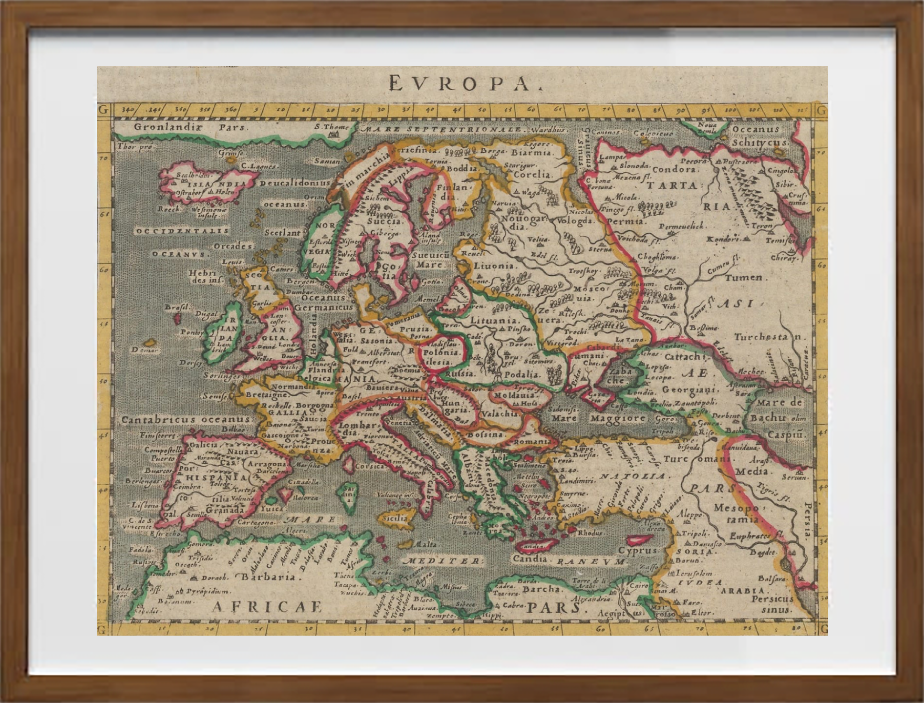
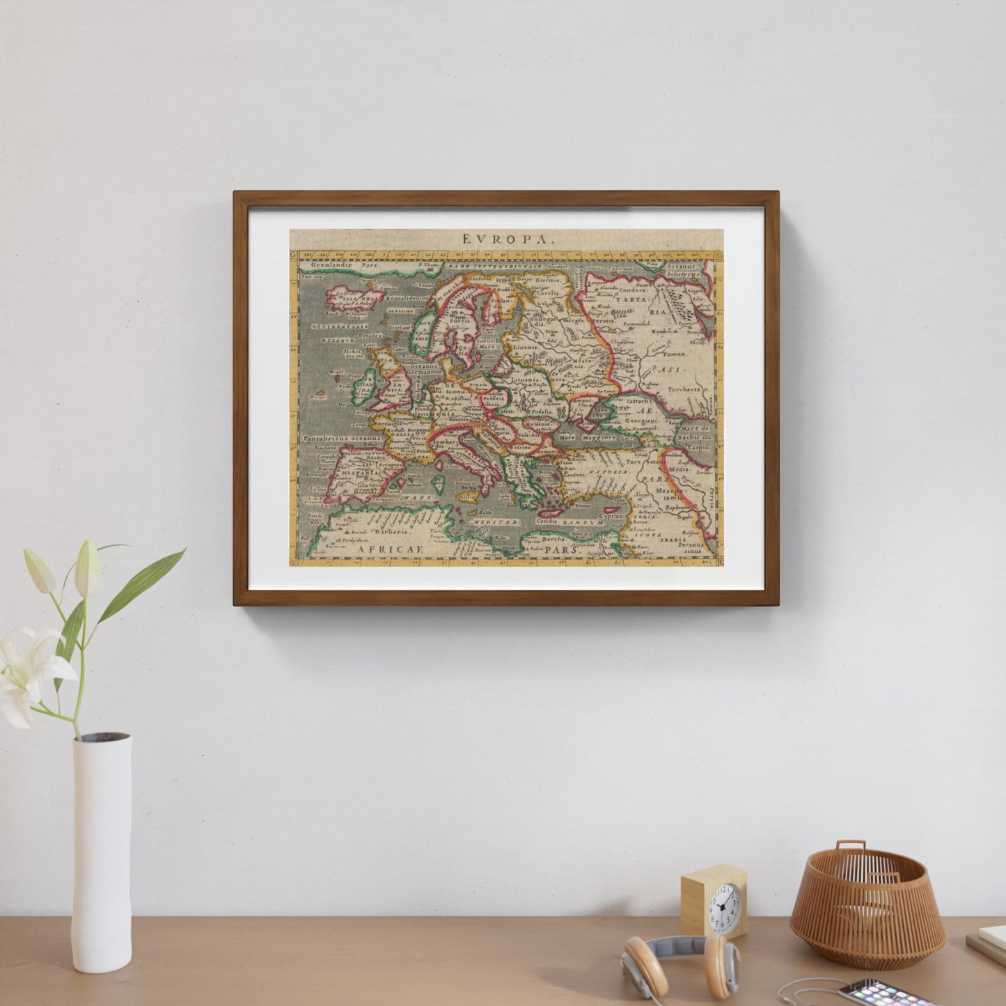
Early map of Europe by Giovanni Antonio Magini
Early map of Europe by Giovanni Antonio Magini
Couldn't load pickup availability
SKU:Q1W5N8B3T9L6R
PAY IN THREE INSTALLMENTS WITH PAYPAL
The "Ancient Map of Europe" by Giovanni Antonio Magini is a valuable example of Renaissance cartography, based on the reduced edition of the renowned "Geographia" by Ptolemy. This map reflects the 16th-century geographical vision, combining information drawn from classical texts with the discoveries and knowledge of the time. The result is a detailed and evocative representation of the European continent, with particular attention to reliefs, rivers, and the boundaries between ancient peoples and historical regions.
Magini’s work stands out for its elegant composition and the accuracy of its illustrations, offering not only cartographic value but also cultural and historical significance. This map is an essential document for anyone wishing to explore the perception of the ancient and Renaissance world through the eyes of one of the most important Italian cartographers of the 16th century.
DO YOU WANT INFORMATION ON THE PRODUCT? WHATSAPP CHAT WITH A CONSULTANT
FEATURES
A framed print creates a visual impact worthy of an art gallery. The beveled mounting board around the image is made of genuine museum-quality cardboard: a framed photo is a decorative element for experts.
The special charm of a framed print also lies in its elegant, handmade frame. Each print is protected by crystal-clear acrylic glass.
Product Specifications:
Print: (260 g/m²) with a brilliant white gloss finish
Mounting board: White, 45° bevel cut
Size: 80 x 60 cm
Material: Acrylic glass and wooden frame


Scopri i pregiati materiali di Trizio Editore
Carta di Amalfi fatta a mano, cornice in legno di faggio e vetro museale. Guarda i particolari dei prodotti che renderanno la tua casa più elegante e preziosa.


