PAY IN THREE INSTALLMENTS WITH PAYPAL
DO YOU WANT TO KNOW WHAT THE PEUTINGER TABLE IS?
The Tabula Peutingeriana, or Peutinger Table, is a 12th-13th century copy of an ancient Roman map showing the roads of the Roman Empire, from the British Isles to the Mediterranean region and from the Middle East to the Indies and Central Asia; its western section is now lost. It bears the name of the humanist and classical scholar Konrad Peutinger, who inherited it from his friend Konrad Celtis, a librarian of Emperor Maximilian I. In 2007, it was added to the UNESCO Memory of the World Register. It is currently preserved at the National Library in Vienna.
The Tabula is likely a copy of a Carolingian-era model based on the original Roman road map. It is built as a schematic representation, and the geographical conditions, with the exception of a few details, are severely distorted. However, it provided travelers with all the relevant information on the location of the most important cities and stopping points on the Roman Empire's road network, as well as the schedule of daily stops on the main travel routes.
The territories are represented by horizontal bands, separated by seas. Cities are indicated by the icons of the buildings, with the convention that the larger the symbol, the more important the city. The daily stops are represented by segments of red lines. Ancient place names and distances in Roman miles are also indicated.
This collection includes le 14 portions of this incredible work:
Pars I: Hispania, Britannia (Segmento I)
Pars II: Lugdunum (Segmenti I, II)
Pars III: Colonia, Treveri, Argentoratae (Segmenti II, III)
Pars IV: Mediolanum (Segmenti III, IV)
Pars V: Aquilea, Regina, Lauriacum (Segmenti IV, V)
Pars VI: Roma (Segmenti V, VI)
Pars VII: Belgrado (Segmento VI)
Pars VIII: Patras (Segmenti VII, VIII)
Pars IX: Athen (Segmento VIII)
Pars X: Constantinopolis (Segmenti VIII, IX)
Pars XI: Kayseri, Trebisonda (Segmenti IX, X)
Pars XII: Antiochia (Segmenti X, XI)
Pars XIII: Urfa (Segmenti XI, XII)
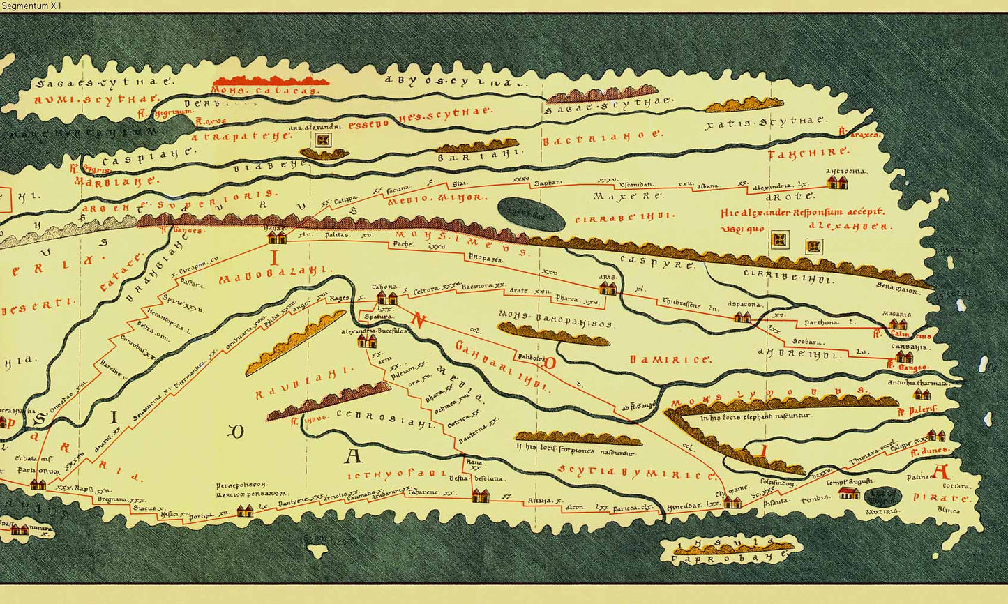
Pars XIV: India (Segmento XII).
An unmissable product that testifies to the magnificence and vastness of the Roman Empire.
DO YOU WANT INFORMATION ON THE PRODUCT? WHATSAPP CHAT WITH A CONSULTANT
FEATURES
A framed print creates a visual impact worthy of an art gallery. The beveled mounting board around the image is made of genuine museum-quality cardboard: a decorative element for experts.
The special charm of a framed print also lies in its elegant, handmade frame. Each print is protected by crystal-clear acrylic glass.
Product Specifications:
Print: (260 g/m²) with a brilliant white gloss finish
Mounting board: White, 45° bevel cut
Size: 60 x 40 cm
Material: Acrylic glass and wooden frame