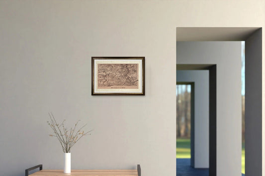
Collection: First World War Maps
 In the summer of 1914, as soldiers left for the front, people at home followed the war on maps. Newspapers printed maps to follow the battles, publishers sold satirical maps in which every country became a bear, an eagle or a soldier, governments used maps as weapons of propaganda. Here you will find 30 maps of the First World War, printed in Berlin, London, Paris, Petrograd, Tokyo and Chicago: the satires of 1914, the maps of the fronts, from the Piave to Verdun, and the posters that told citizens why they should fight. Each one tells the war from one side only, and the product page tells you which. The originals are in the Library of Congress, at Yale, at Cornell University and in the great European libraries; our prints are on handmade Amalfi paper, in a handmade frame.
Start with Amshewitz's European revue, where neutral Italy holds up a lover's placard; then the Daily Mail war map, which in August 1914 still placed Italy in the Triple Alliance; and finally the Italian Front drawn by hand by a French illustrator.
-
Verdun, Right Bank of the Meuse, June 1916
Regular price €190,00 EURRegular priceUnit price per -
European Satirical Postcard, 1914
Regular price €195,00 EURRegular priceUnit price per -
Battle of the Somme by Harmsworth
Regular price €199,00 EURRegular priceUnit price per -
Detailed map of the Gallipoli peninsula and the Dardanelles, 1916
Regular price €230,00 EURRegular priceUnit price per -
Mitteleuropa - 1914 - John Bartholomew and Son
Regular price €188,00 EURRegular priceUnit price per -
Map of France, c. 1914
Regular price €220,00 EURRegular priceUnit price per