This map is part of the great topographical map of ancient Rome created by the architect and archaeologist Luigi Canina. Made in the mid-19th century, the work is an exceptional document that overlays the Roman monuments on the city of 1840, showing in detail its appearance before the major transformations that followed.
In particular, this plate offers a fascinating hypothetical reconstruction of the Circus Agonalis, the ancient stadium that stood where Piazza Navona is today. Canina drew his vision of the circus, complete with stands, starting gates and decorative elements, based on the archaeological knowledge of his time.
This cartographic masterpiece is therefore a precious testimony to the urban and monumental landscape of Rome, and remains a fundamental tool for scholars and enthusiasts wishing to understand the history of the city and the perception of antiquity in the 19th century.
Unique quality material
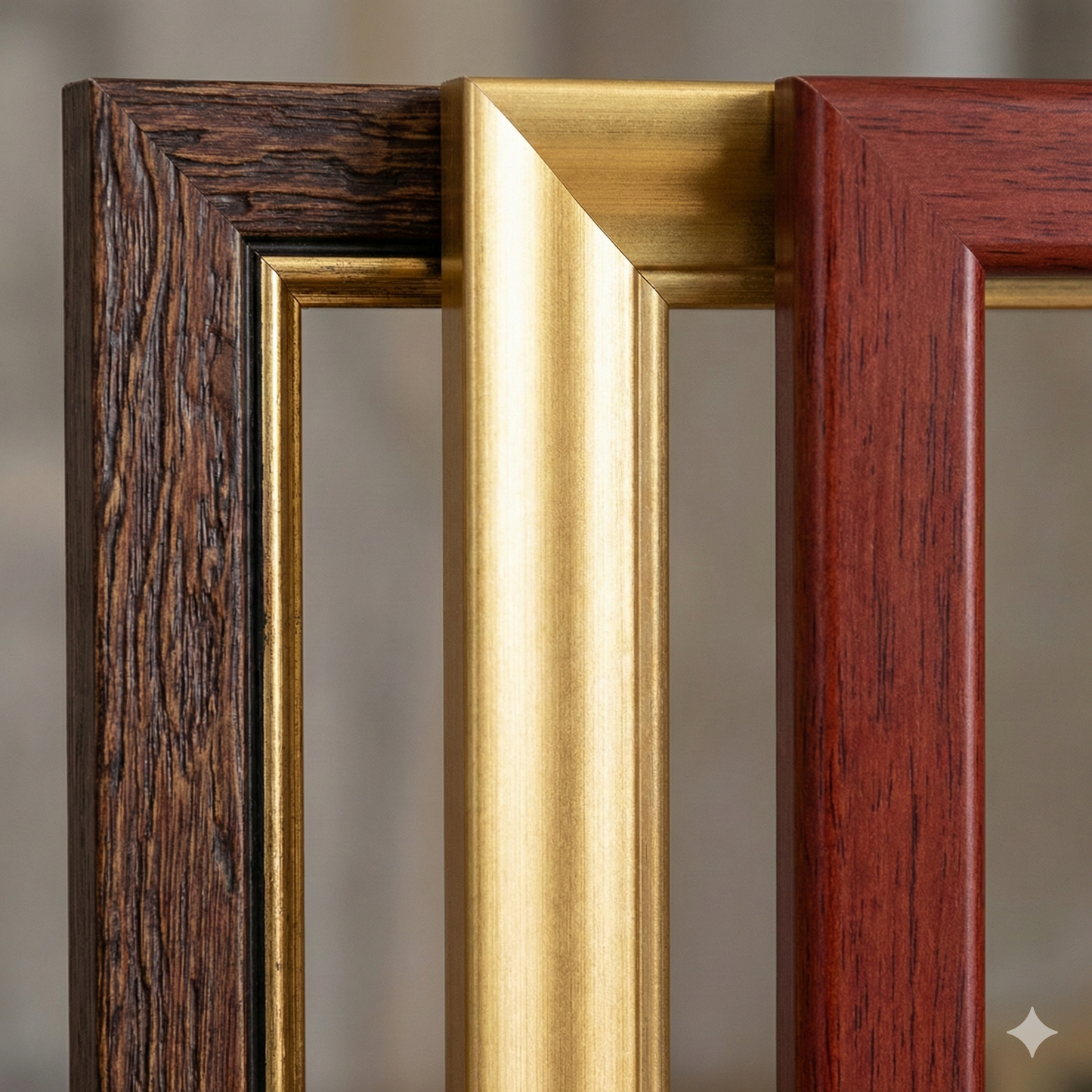
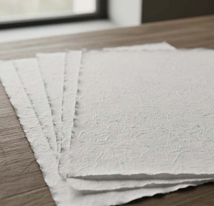
Print on handmade Amalfi paper Sheet size: 29 x 42 cm (11.4 x 16.5 in) With frame: 31 x 44 cm (12.2 x 17.3 in) Material: artwork printed on very fine handmade Amalfi paper with deckled edges Frame: light brown beech wood and wood pulp, handmade
How an Amalfi art print is made, what the frame is like, what museum glass is, how long shipping takes, and how returns work: we’ve gathered all the answers on a single page.