The Tabula Peutingeriana is the only large road map of theRoman Empire to have come down to us (in a medieval copy), a long strip of parchment showing cities, ports and routes from the Atlantic to the Near East like an ancient Roman “motorway map of the world”. It was a practical tool linked to the itineraria and the cursus publicus, the imperial postal and transport service, and for this reason it is today an essential source for reconstructing the logistics, administration and trade of the Roman world.
The surviving copy dates from the 12th–13th century and reproduces an imperial-era map probably connected with the great map of the world that Agrippa had prepared under Augustus. The name “Peutingeriana” comes from the humanist Konrad Peutinger, who owned it in the 16th century and made it famous among European scholars; today the chart is kept in Vienna and is recognised as a document of exceptional historical value.
This reproduction makes accessible a masterpiece of ancient cartography and an icon for anyone who loves Rome, its roads and its historical geography. It is ideal for studies, libraries and workplaces, and is available both as a complete collection and by purchasingindividualsegments of the map, so you can build your own ideal route across the Roman Empire.
Unique quality material
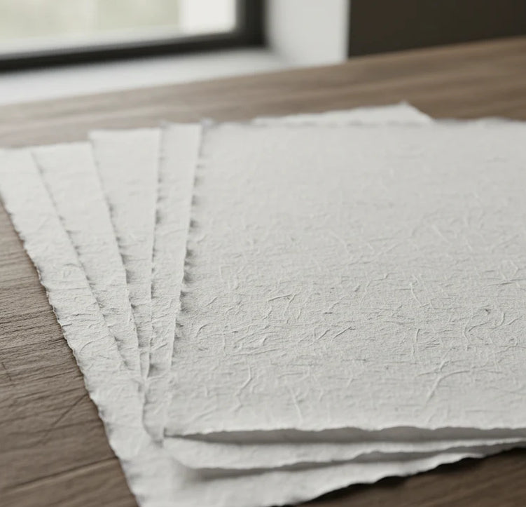
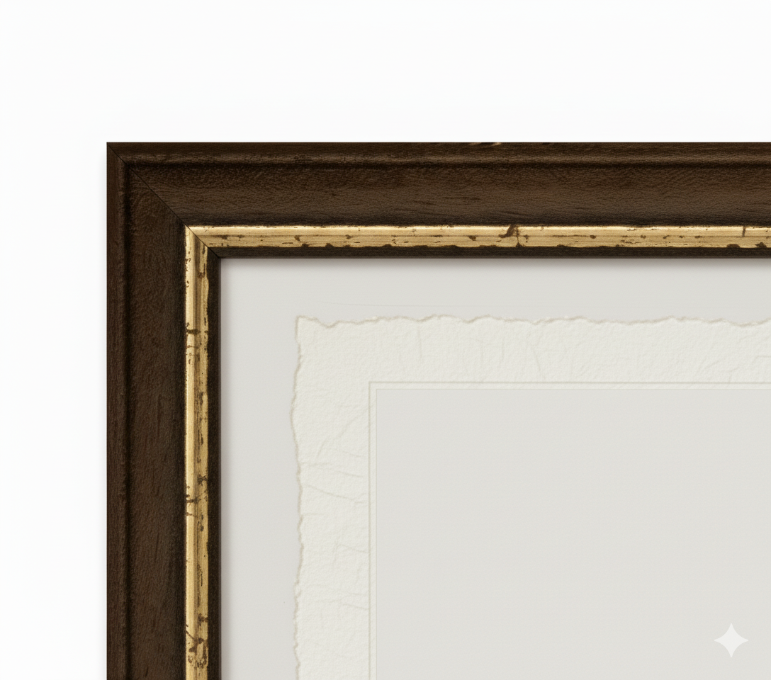
Print on handmade Amalfi paper Sheet size: 29 x 42 cm (11.4 x 16.5 in) With frame: 31 x 44 cm (12.2 x 17.3 in) Material: artwork printed on very fine handmade Amalfi paper with deckled edges Frame: light brown beech wood and wood pulp, handmade
How an Amalfi art print is made, what the frame is like, what museum glass is, how long shipping takes, and how returns work: we’ve gathered all the answers on a single page.