This map, preserved in Arabic manuscript 2221 and dated to 1300, belongs to the medieval Islamic cartographic tradition. It depicts the Mediterranean, Europe and Africa in a schematic layout yet rich in geographical, coastal and toponymic detail, favouring a descriptive and practical function over mathematical precision. Its visual language reflects a knowledge of the world based on routes, ports and areas of commercial and cultural contact between the different shores of the Mediterranean. It is a precious testimony to medieval cartography, in which the sea is not merely a boundary but a dynamic space of exchange, circulation and knowledge.
Unique quality material
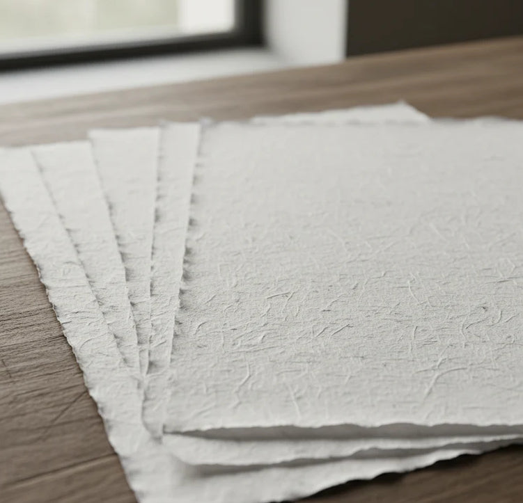
Print on handmade Amalfi paper Sheet size: 29 x 42 cm (11.4 x 16.5 in) With frame: 31 x 44 cm (12.2 x 17.3 in) Material: artwork printed on very fine handmade Amalfi paper with deckled edges Frame: light brown beech wood and wood pulp, handmade
How an Amalfi art print is made, what the frame is like, what museum glass is, how long shipping takes, and how returns work: we’ve gathered all the answers on a single page.