This magnificent reproduction of Gerard Mercator's map illustrates Italy, the Adriatic and the Balkans with timeless accuracy and beauty. Every detail, from the indented coastlines to the cities and relief, is rendered with unique precision and grace. The warm tones and crisp outlines capture the essence of an age of exploration and deep knowledge of the world.
This piece invites a visual journey through the lands that shaped European history, offering a unique perspective on the geographical and cultural interconnections of that period. It is an opportunity to own a fragment of the history of cartography, an object that speaks of travel, discovery and the inexhaustible fascination of antique maps.
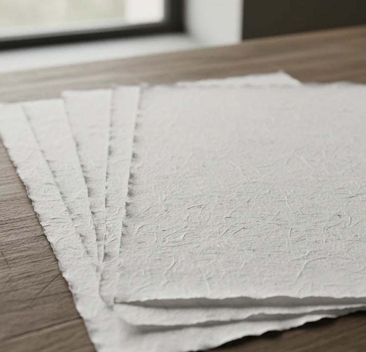
Unique quality material
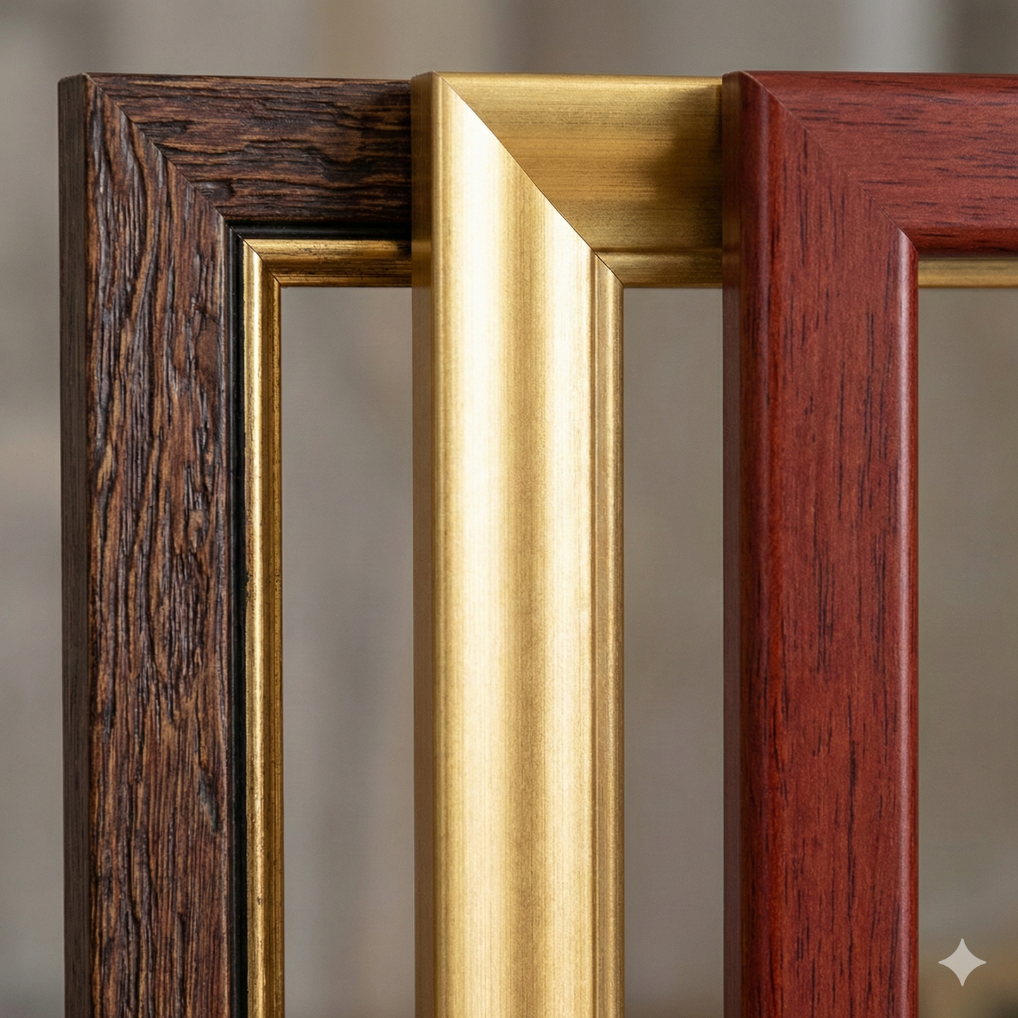
Print on handmade Amalfi paper Sheet size: 29 x 42 cm (11.4 x 16.5 in) With frame: 31 x 44 cm (12.2 x 17.3 in) Material: artwork printed on very fine handmade Amalfi paper with deckled edges Frame: light brown beech wood and wood pulp, handmade
How an Amalfi art print is made, what the frame is like, what museum glass is, how long shipping takes, and how returns work: we’ve gathered all the answers on a single page.