

Star Map of the Southern Sky - Carel Allard
Star Map of the Southern Sky - Carel Allard
or a special size? • Chat with us
Couldn't load pickup availability
Star map of the southern hemisphere published by Carel Allard in the second half of the 17th century.
The map shows the constellations visible in the southern hemisphere, depicted mainly as animals. In the lower corners are two key tables with further inscriptions. On the left, beyond the planisphere, a solar eclipse is depicted, while on the opposite side are other figures, including Saturn with its rings.
The map is on display at the Rijksmuseum, Amsterdam.
Carel Allard was a Dutch publisher, printer and engraver.
Feel history under your fingertips
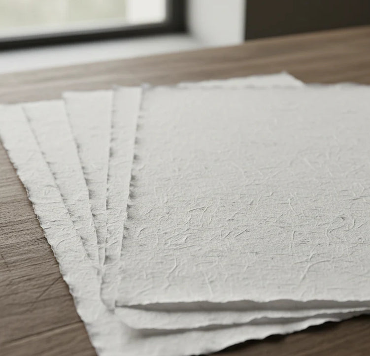
Our reproductions are extremely faithful to the original and printed on fine Amalfi paper.
It is a paper made exclusively from cotton fibres, thick and naturally porous, yet soft to the touch, with the characteristic deckled edges that bear witness to its handcrafted making.
It is still made today using ancient medieval techniques, in the workshops of Amalfi.
Materials of the finest quality
-
 Amalfi paper
Thick, porous, with the characteristic deckled edges -
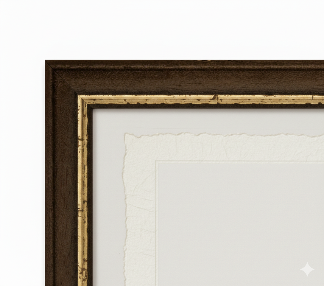
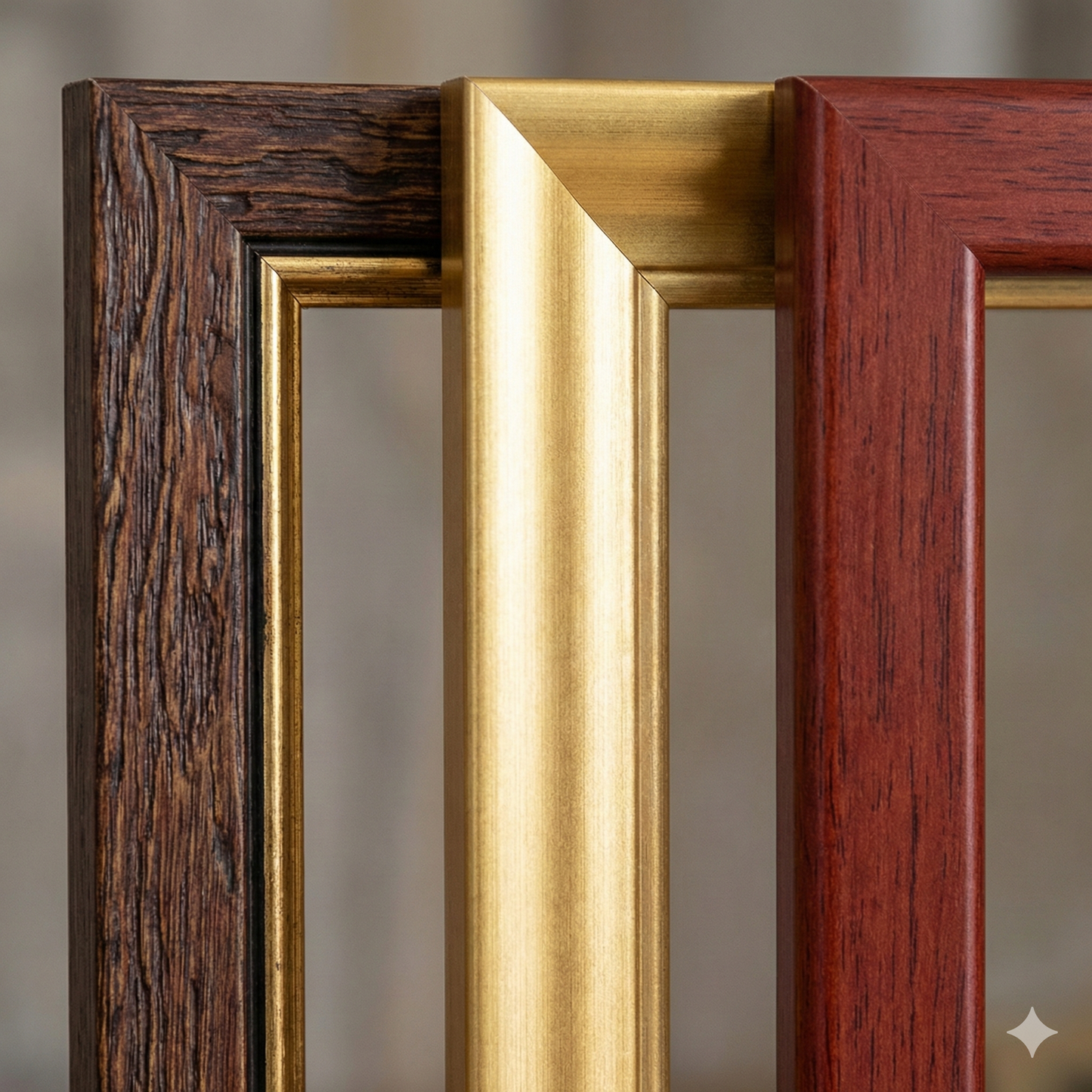
 Handcrafted frame
Made from fine wood, assembled by hand -
 Museum glass
The same ultra-glossy glass used in museums
Unique quality material
Print on handmade Amalfi paper
Sheet size: 42 x 29 cm (16.5 x 11.4 in)
With frame: 44 x 31 cm (17.3 x 12.2 in)
Material: artwork printed on very fine handmade Amalfi paper with deckled edges
Frame: light brown beech wood and wood pulp, handmade