The map of Tenochtitlan and the Gulf of Mexico of 1524 is a coloured woodcut published in Nuremberg in the Latin edition of Hernán Cortés's letters to the Emperor Charles V, the Praeclara Ferdinandi Cortesii narratio. It was the first depiction of the Aztec capital and the coasts of the New World to circulate in Europe. On the right it shows Tenochtitlan as an island city in Lake Texcoco, with canals, causeways and the central sacred precinct, reflecting in stylised form the urban structure of the Mexica. On the left is the Gulf of Mexico with Florida, Yucatán and the ocean routes, placing the conquest within the geographical framework of the Atlantic. The image probably derives from an indigenous original adapted by European engravers, serving both a documentary and a propaganda function.
Unique quality material
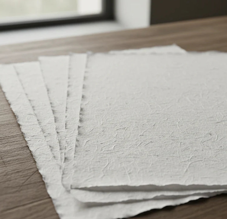
Print on handmade Amalfi paper Sheet size: 29 x 42 cm (11.4 x 16.5 in) With frame: 31 x 44 cm (12.2 x 17.3 in) Material: artwork printed on very fine handmade Amalfi paper with deckled edges Frame: light brown beech wood and wood pulp, handmade
How an Amalfi art print is made, what the frame is like, what museum glass is, how long shipping takes, and how returns work: we’ve gathered all the answers on a single page.