Map of the city of Edinburgh from the late 16th century, created by Joris Hoefnagel. It is a coloured engraving.
The map shows the city of Edinburgh as it was laid out at the end of the 16th century. One can see the fortified walls around the whole perimeter, with the palaces, churches and districts of Edinburgh inside. Outside the city walls are peasants' dwellings and cultivated fields. In the lower right corner is the legend "Edimburgo Scotial metropolis", while in the centre are ladies and gentlemen in period dress.
Georg Hoefnagel or Hufnagel was a Flemish painter, cartographer and illustrator.
Unique quality material
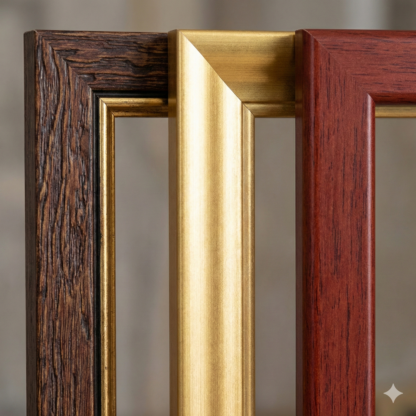
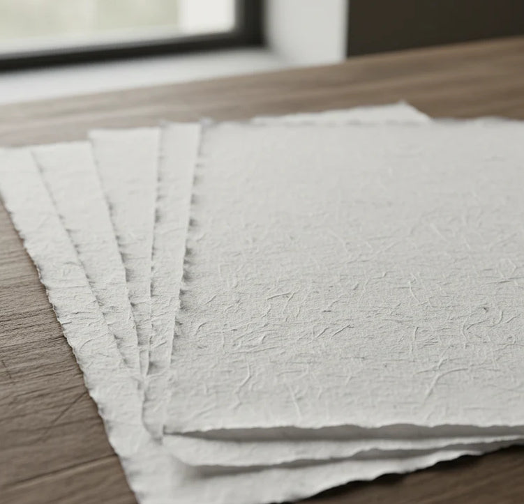
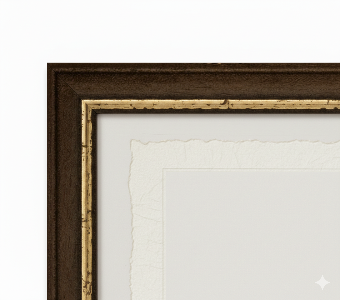
Print on handmade Amalfi paper Sheet size: 29 x 42 cm (11.4 x 16.5 in) With frame: 31 x 44 cm (12.2 x 17.3 in) Material: artwork printed on very fine handmade Amalfi paper with deckled edges Frame: light brown beech wood and wood pulp, handmade
How an Amalfi art print is made, what the frame is like, what museum glass is, how long shipping takes, and how returns work: we’ve gathered all the answers on a single page.