Samuel Butler's map "Britannia Antiqua", published in London around 1829, belongs to the atlas The Atlas of Ancient Geography. It shows England (with Wales and part of Scotland) in the Roman period, with Latin place names and the division into provinces and Celtic tribal territories. The cartographic approach reflects the 19th-century scholarly tradition, which combined Graeco-Roman literary sources and antiquarian archaeology to reconstruct the historical landscape. Printed as a colour lithograph, the map served to visualise the Roman campaigns of conquest and the network of towns and roads, offering students a reference tool consistent with the ancient history textbooks then in use.
Unique quality material
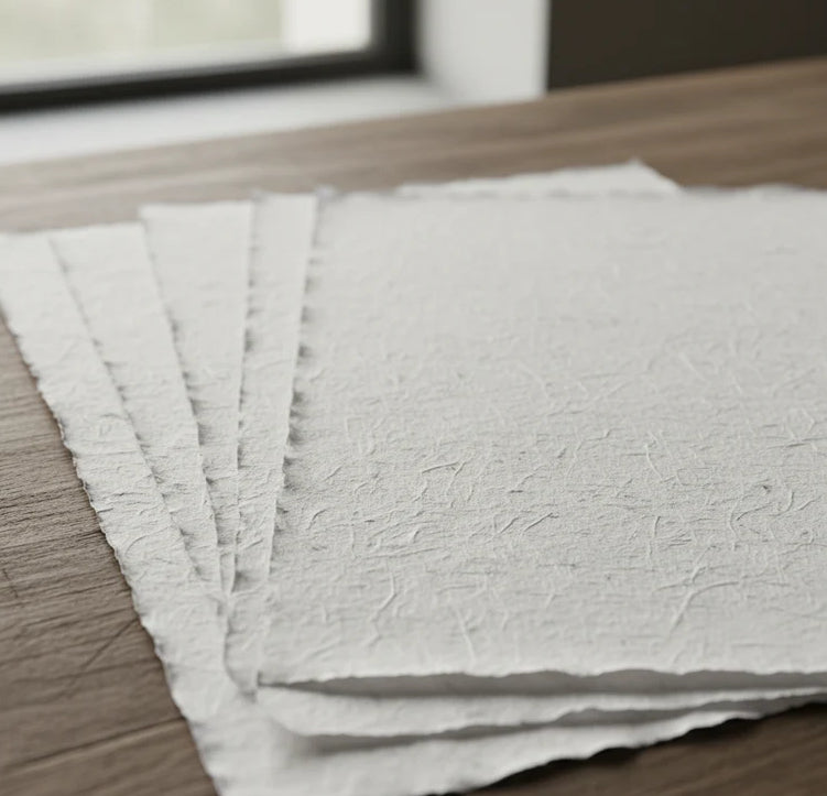
Print on handmade Amalfi paper Sheet size: 29 x 42 cm (11.4 x 16.5 in) With frame: 31 x 44 cm (12.2 x 17.3 in) Material: artwork printed on very fine handmade Amalfi paper with deckled edges Frame: light brown beech wood and wood pulp, handmade
How an Amalfi art print is made, what the frame is like, what museum glass is, how long shipping takes, and how returns work: we’ve gathered all the answers on a single page.