The "Map of Europe" belongs to the celebrated Miller Atlas, a sumptuous Portuguese nautical atlas made in Lisbon in 1519 by Pedro and Jorge Reinel together with Lopo Homem, commissioned by King Manuel I. The sheet combines the tradition of Atlantic portolan charts with Ptolemaic cartography, depicting northern and central Europe with meticulous coastlines, heraldic emblems and great Portuguese ships celebrating Lisbon's oceanic power. The painted fortress cities, the mountain ranges and the Latin inscriptions make the chart at once a practical and a propaganda instrument, probably intended for court diplomacy between Portugal and France.
Unique quality material
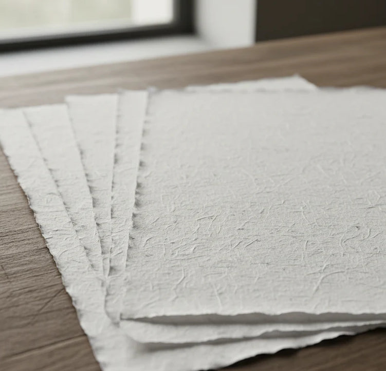
Print on handmade Amalfi paper Sheet size: 29 x 42 cm (11.4 x 16.5 in) With frame: 31 x 44 cm (12.2 x 17.3 in) Material: artwork printed on very fine handmade Amalfi paper with deckled edges Frame: light brown beech wood and wood pulp, handmade
How an Amalfi art print is made, what the frame is like, what museum glass is, how long shipping takes, and how returns work: we’ve gathered all the answers on a single page.