This map of Europe, published in Paris in 1700 by Guillaume Delisle (1675-1726), is a masterpiece of the scientific cartography of the early 18th century. Delisle, considered the reformer of French cartography, was among the first to use scientific methods based on astronomical observations and precise triangulation, abandoning the fanciful depictions of earlier maps. 1700 was a crucial year in his career: he published his first significant works, including terrestrial and celestial globes and maps of the continents. The Europe depicted shows the continent on the eve of great conflicts: the War of the Spanish Succession (1700-1713) and the Great Northern War (1700-1721) were about to redefine the balance of power, with the rise of Russia and Ottoman decline. The work reflects the scientific rigour and geographical accuracy that characterised Delisle's Enlightenment approach to cartography.
Unique quality material
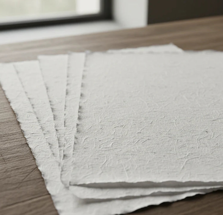
Print on handmade Amalfi paper Sheet size: 29 x 42 cm (11.4 x 16.5 in) With frame: 31 x 44 cm (12.2 x 17.3 in) Material: artwork printed on very fine handmade Amalfi paper with deckled edges Frame: light brown beech wood and wood pulp, handmade
How an Amalfi art print is made, what the frame is like, what museum glass is, how long shipping takes, and how returns work: we’ve gathered all the answers on a single page.