This famous nautical chart was published in Paris in 1583 by Nicolas de Nicolay, cosmographer to Henry II of France, as part of the work “La Navigation du Roy d’Escosse Jacques Cinquiesme du Nom…”. The map translates into cartographic form the rutter of Alexander Lindsay, the Scottish pilot who in 1540 guided James V's voyage along the coasts of Scotland, Orkney and the Hebrides to assert royal authority over the Lords of the Isles. It is considered the first true printed portolan of Scotland and the most accurate hydrographic depiction of the kingdom until the 18th century, with dense rhumb lines, compass roses and coastal annotations that directly reflect the experience of navigation.
Unique quality material
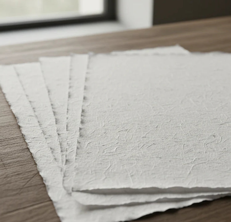
Print on handmade Amalfi paper Sheet size: 29 x 42 cm (11.4 x 16.5 in) With frame: 31 x 44 cm (12.2 x 17.3 in) Material: artwork printed on very fine handmade Amalfi paper with deckled edges Frame: light brown beech wood and wood pulp, handmade
How an Amalfi art print is made, what the frame is like, what museum glass is, how long shipping takes, and how returns work: we’ve gathered all the answers on a single page.