The Map of the ancient city of Milan, made by Johann Heinrich von Pflaumern and engraved by Wolfgang Kilian, offers a splendid bird's-eye view of the city at the beginning of the 17th century, highlighting its striking geometric plan. Milan's sub-symmetrical plan is instantly recognisable, with the Castello Sforzesco on the axis of symmetry at the top of the map. The city walls, protected by a moat running all the way round, enclose the city with precision, although today only a small portion of this body of water survives in the Conchetta district, known as the Darsena. The main buildings, such as the famous Duomo, clearly marked on the map, stand out with sharp clarity, providing an in-depth view of the urban structure of the time.
Below the map, a legend lists 61 places of interest, testifying to the accuracy and attention to detail of this original copperplate cartographic work. This precious document, taken from the first edition of the "Mercurius Italicus", captures thehistorical and cultural essence of a dynamic and strategic Renaissance city. Pflaumern's map is thus a fascinating window onto Milan's past, ideal for collectors and lovers of urban history and historical cartography.
Unique quality material
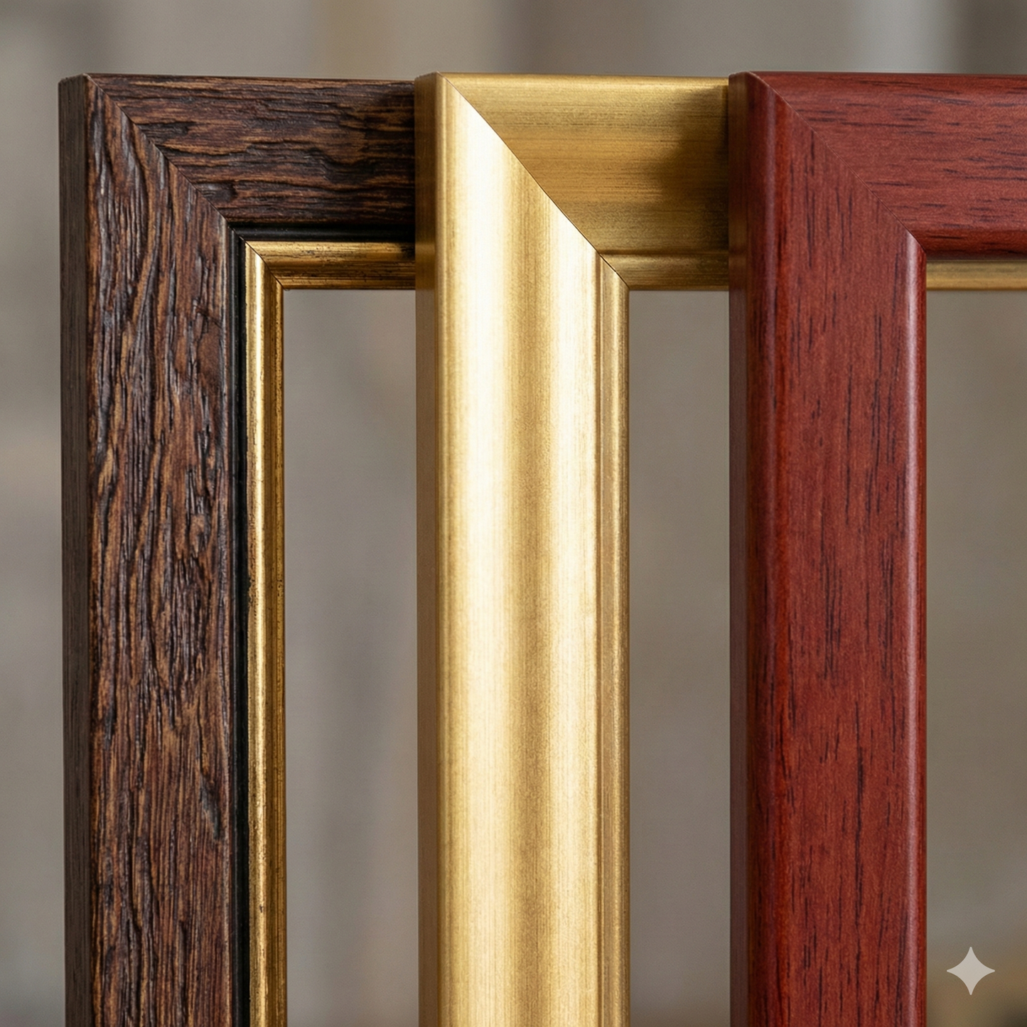
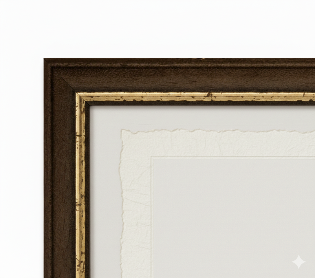
Print on handmade Amalfi paper Sheet size: 29 x 42 cm (11.4 x 16.5 in) With frame: 31 x 44 cm (12.2 x 17.3 in) Material: artwork printed on very fine handmade Amalfi paper with deckled edges Frame: light brown beech wood and wood pulp, handmade
How an Amalfi art print is made, what the frame is like, what museum glass is, how long shipping takes, and how returns work: we’ve gathered all the answers on a single page.