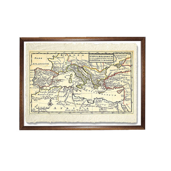
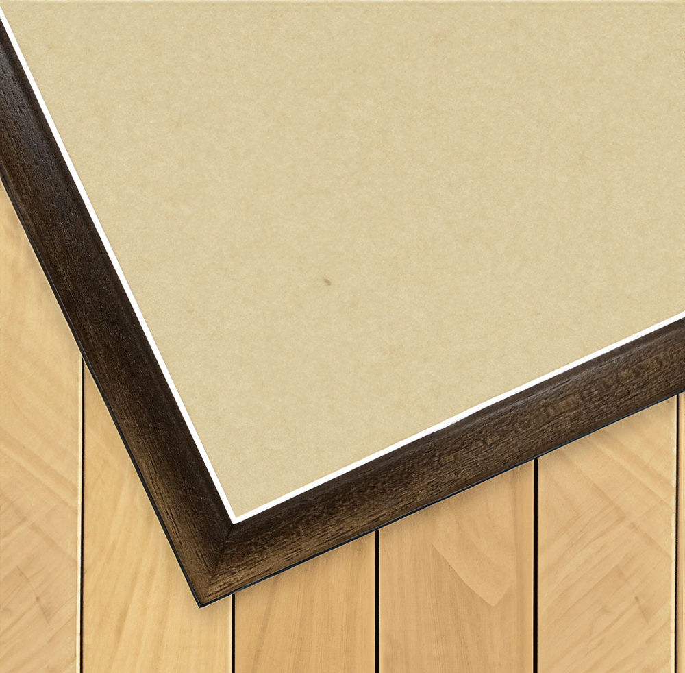
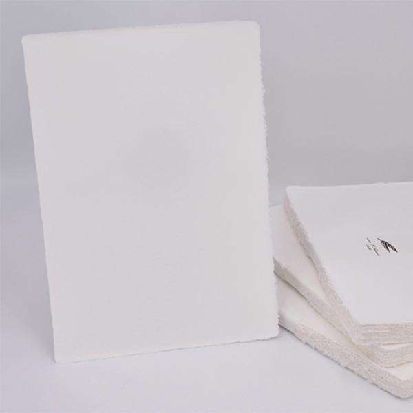
Print on handmade Amalfi paper Size: 29 x 42 cm (11.4 x 16.5 in) Material: artwork printed on very fine handmade Amalfi paper with deckled edges Frame: light brown beech wood and wood pulp, handmade
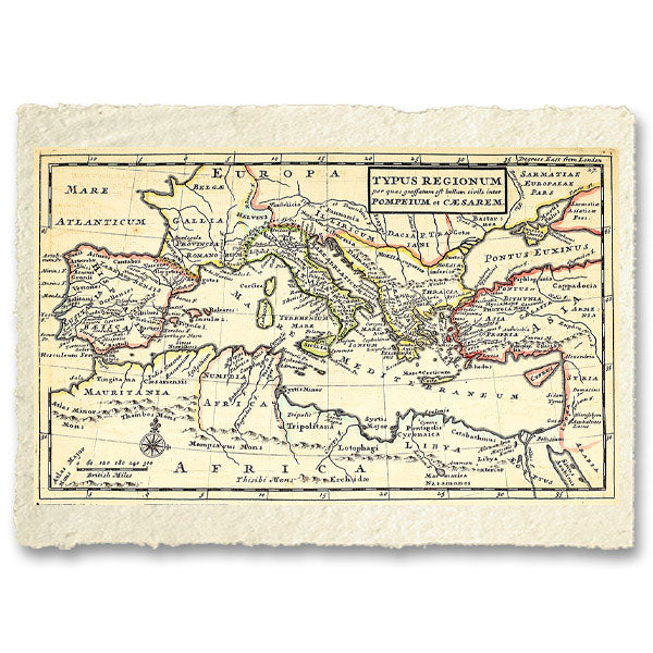
Europe is torn apart by the civil war between Julius Caesar, the conqueror of Gaul, and Pompey the Great, backed by the Senate and the aristocracy of Rome. On this fine map, the areas loyal to Pompey, who is preparing for the great showdown, are shown in red, and the regions of Europe supporting Julius Caesar in yellow. A few years later, the plain of Pharsalus would host the decisive clash between the two brilliant generals, which would forever seal the fate of the Republic and of ancient history.
How an Amalfi art print is made, what the frame is like, what museum glass is, how long shipping takes, and how returns work: we’ve gathered all the answers on a single page.